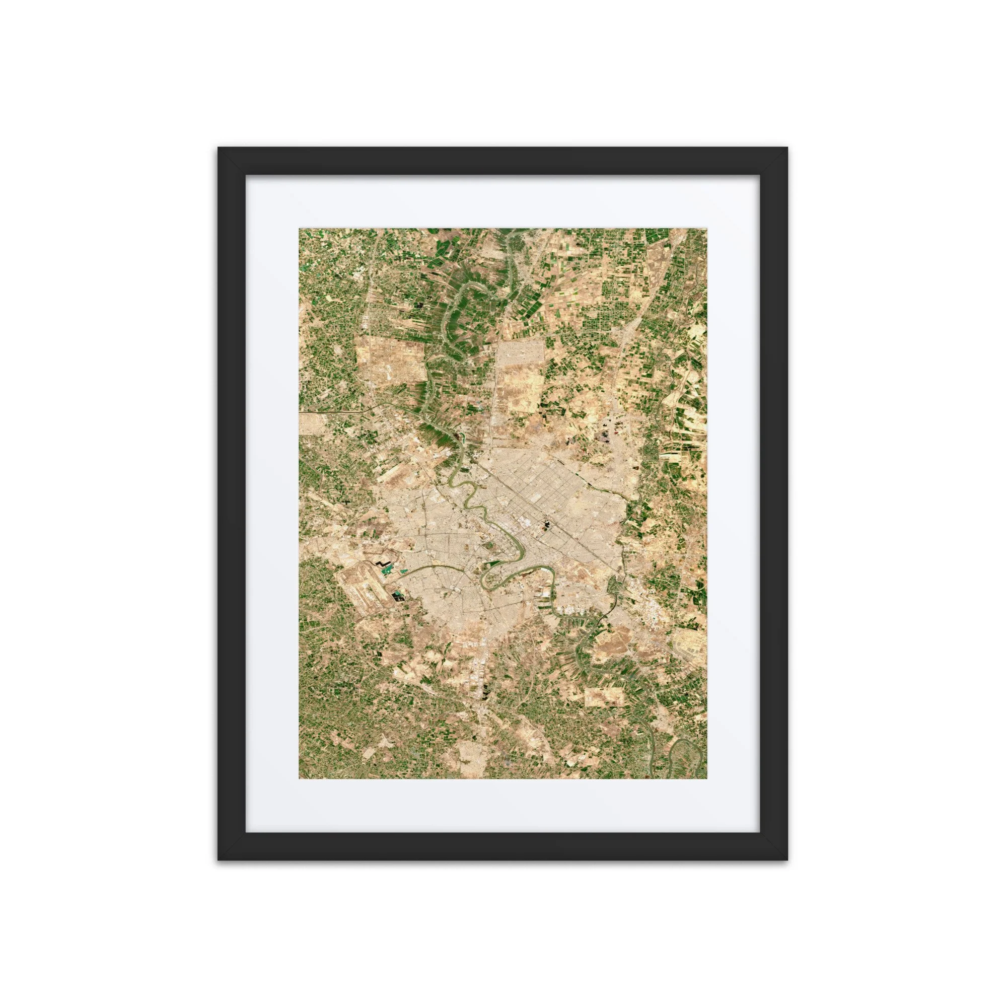
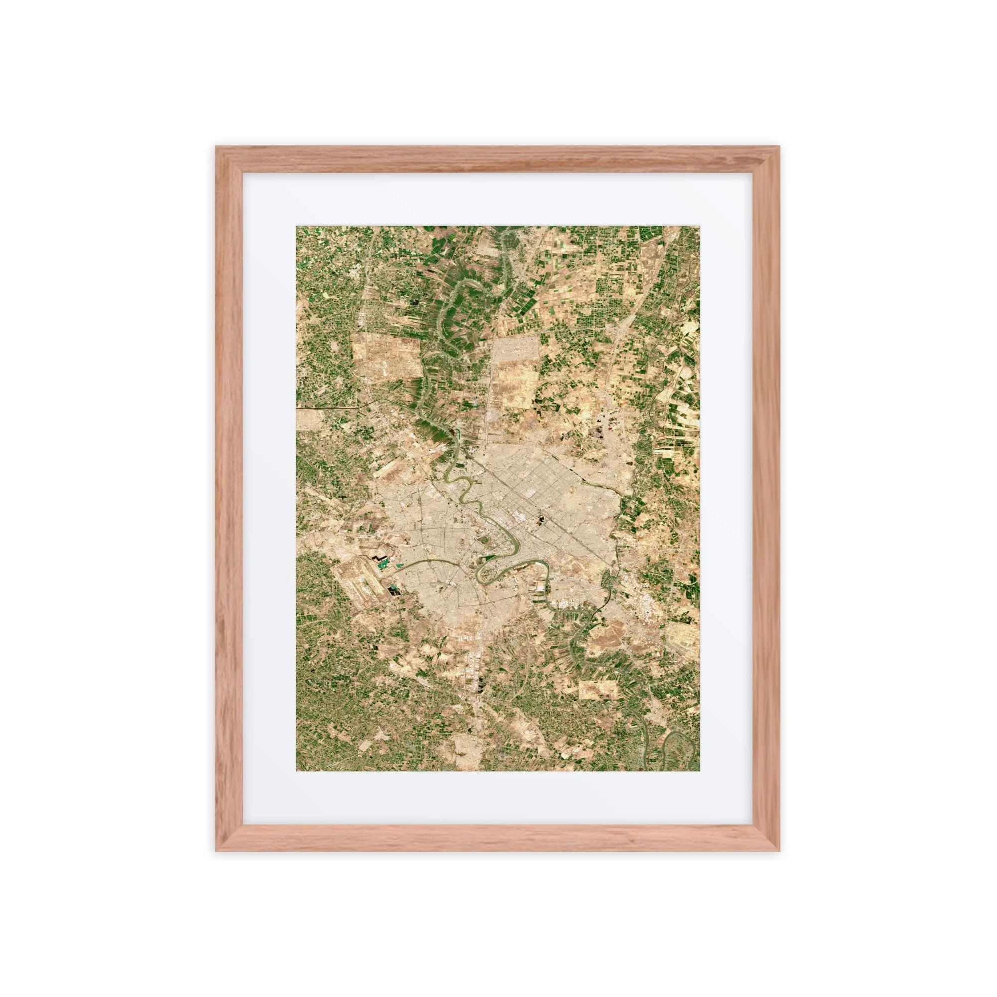
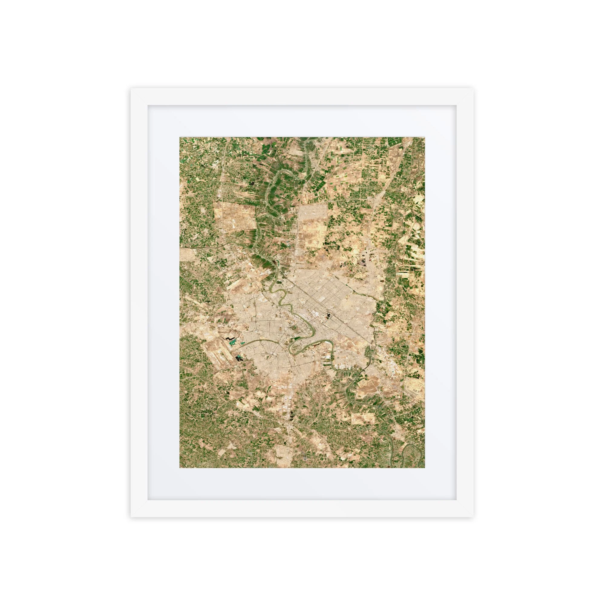
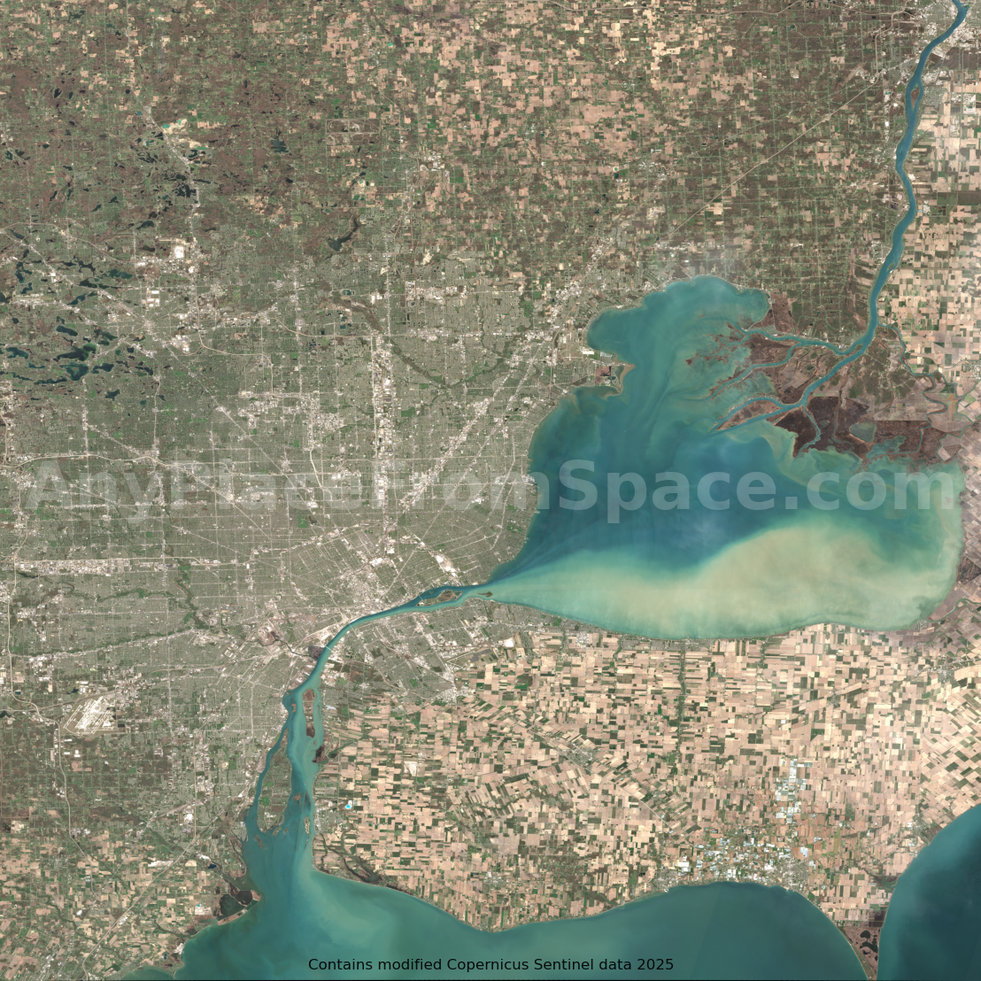
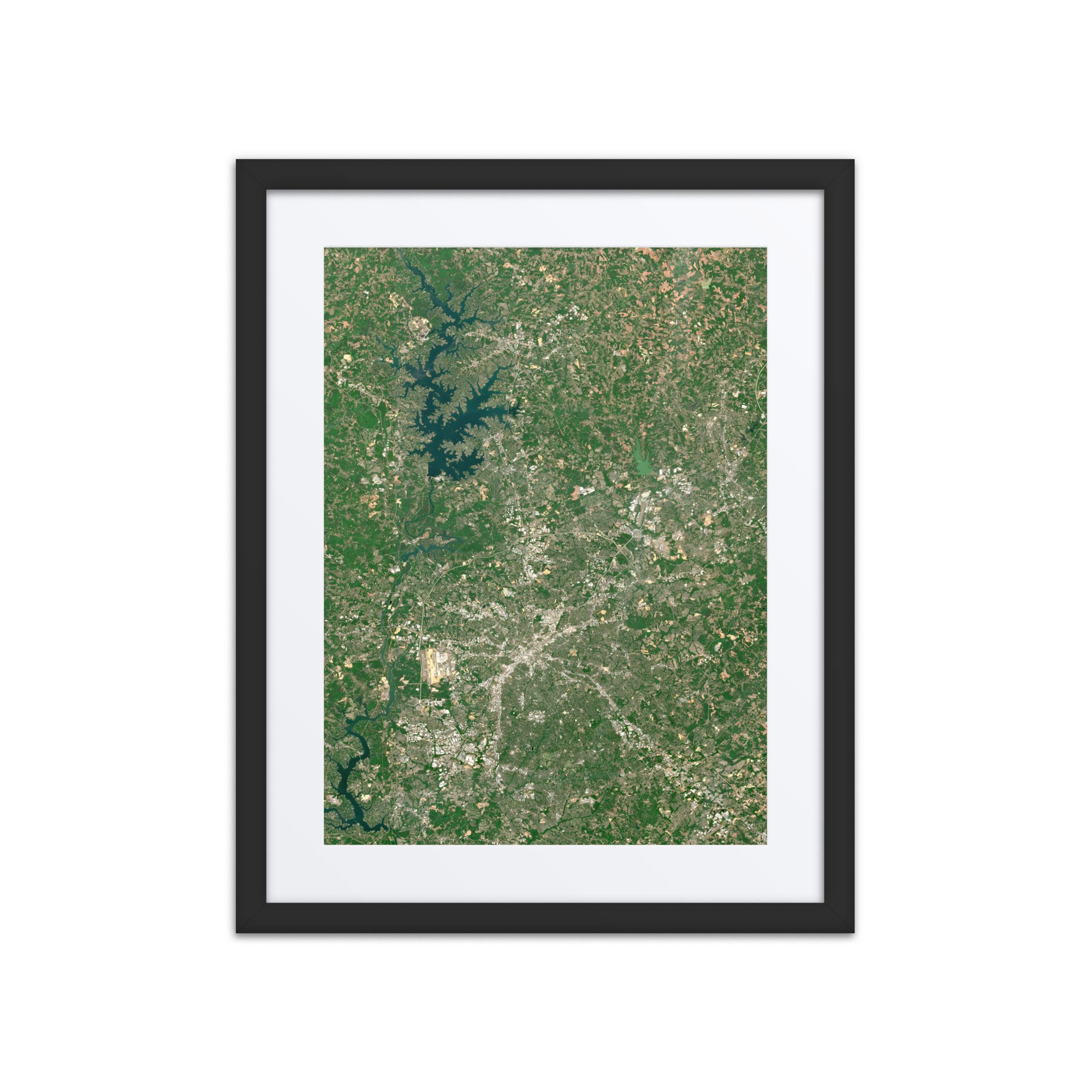
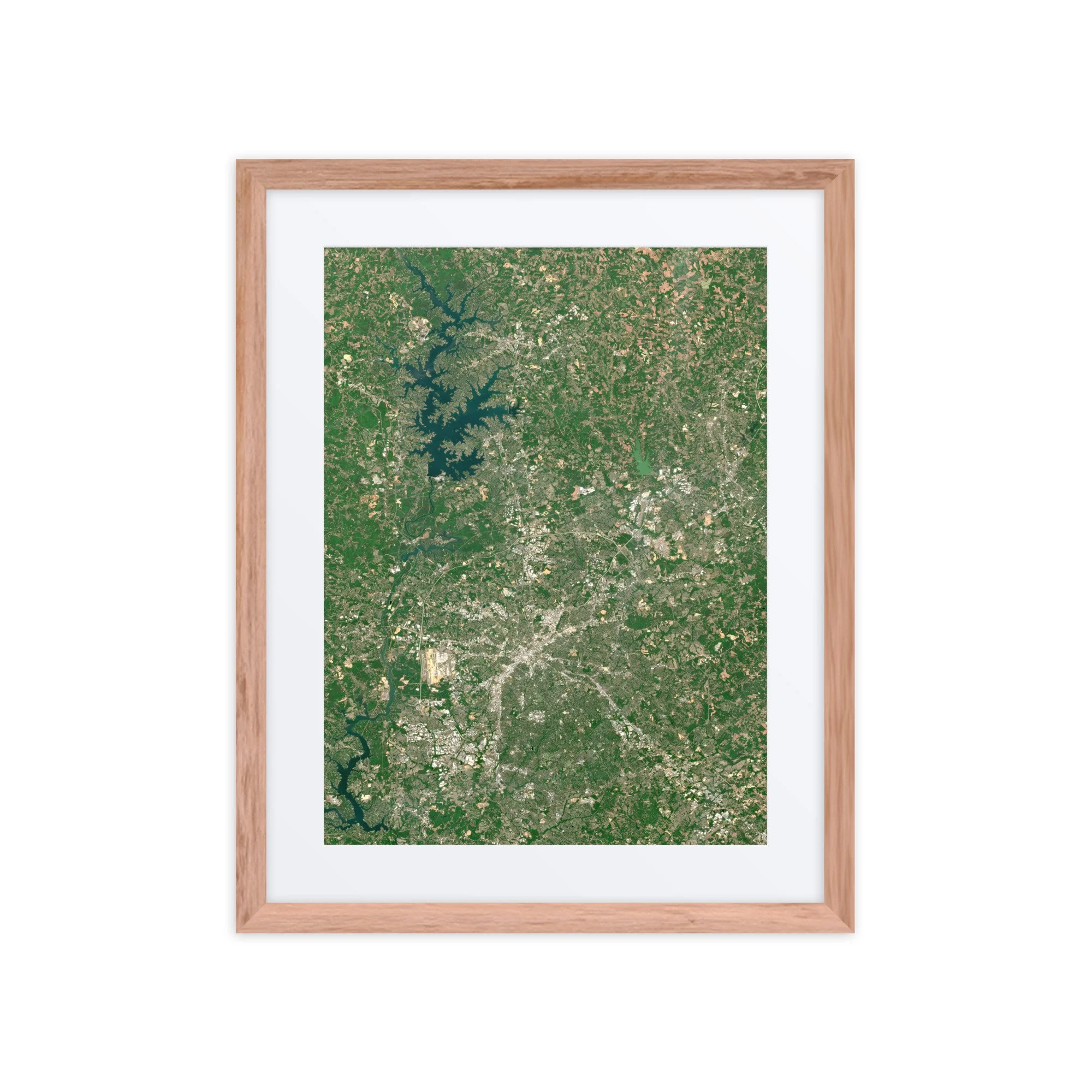
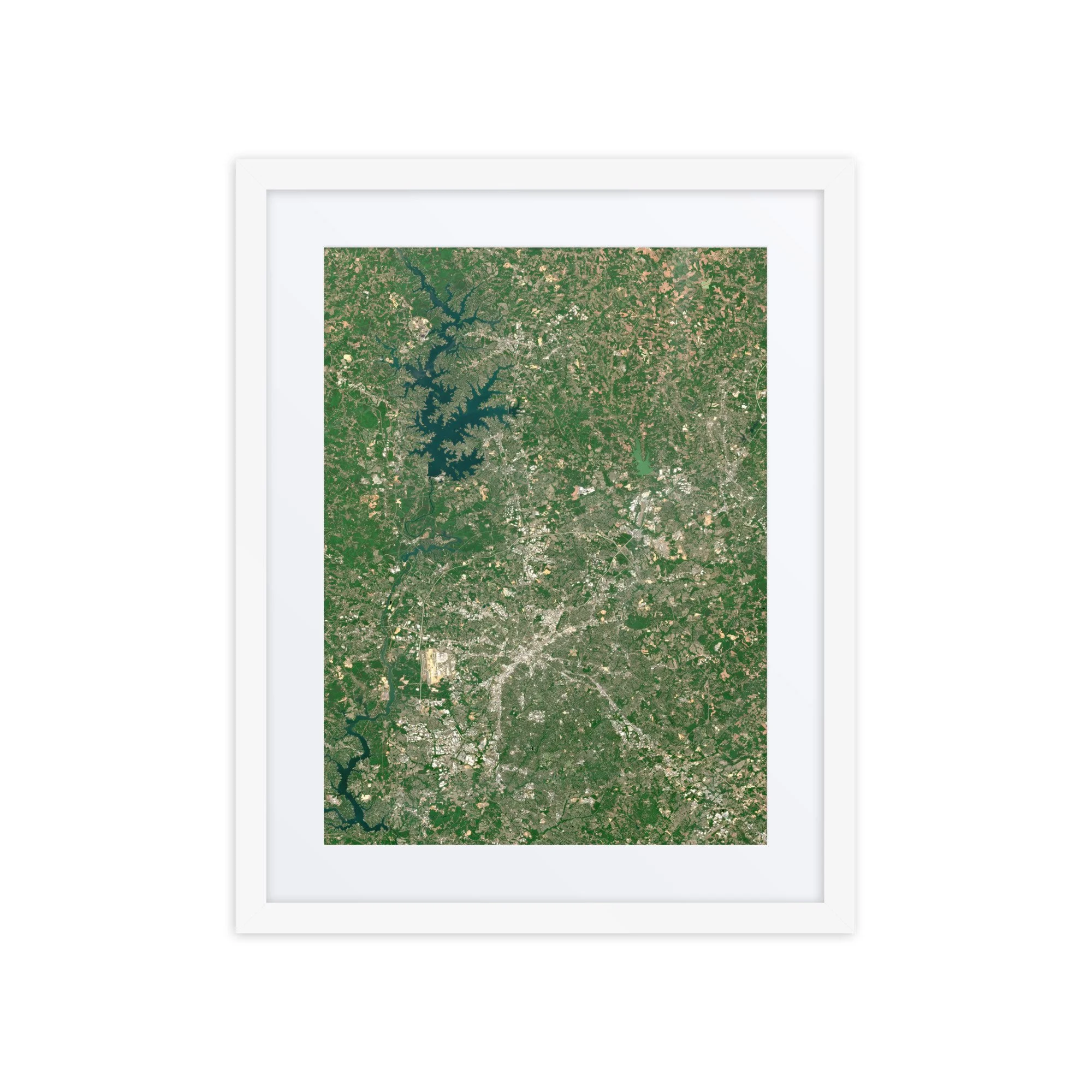
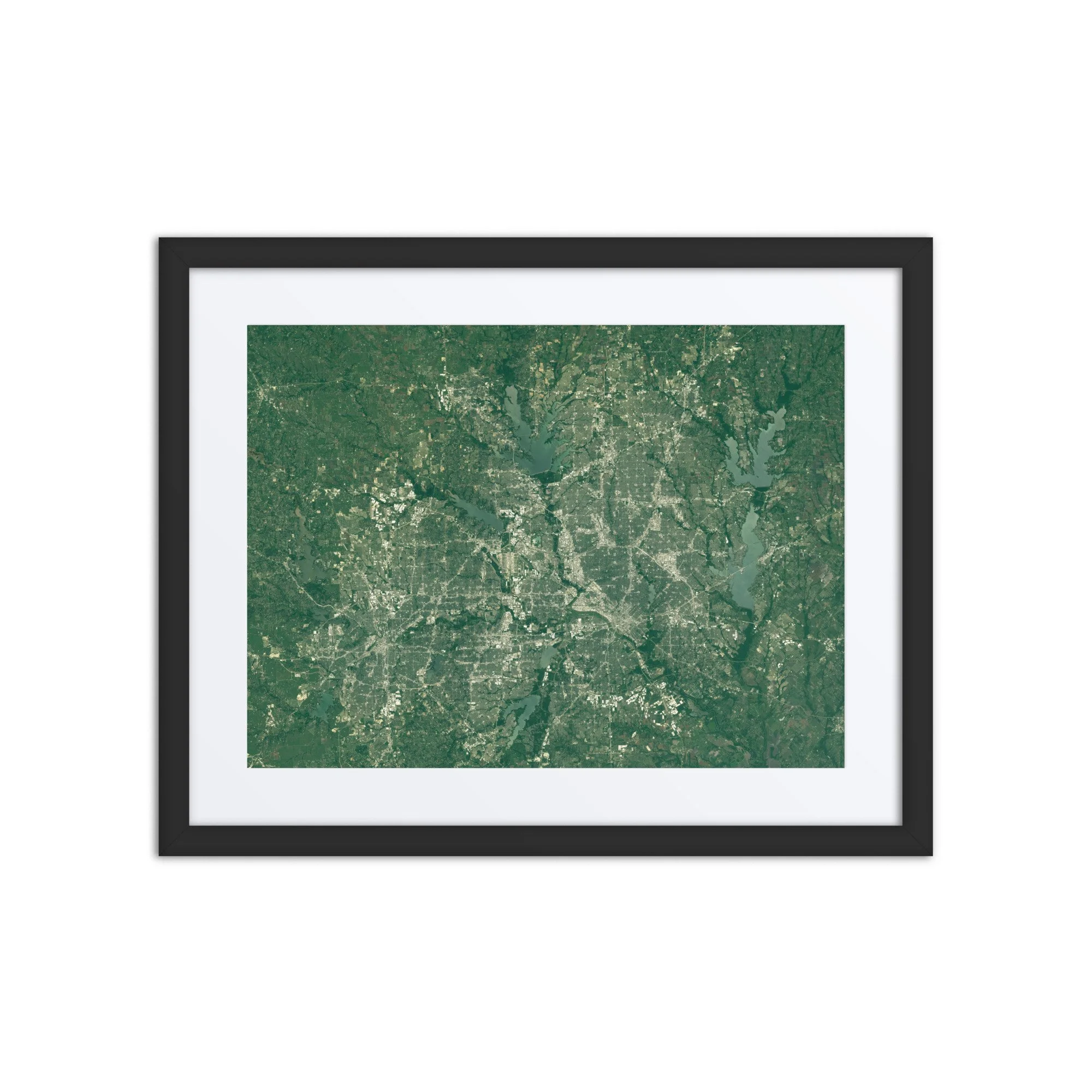
This stunning satellite image showcases Baghdad, Iraq, captured on March 18, 2026, by the Sentinel-2 satellite. From space, Iraq's historic capital reveals an extraordinary landscape shaped by the winding Tigris River, dense urban development, and the fertile agricultural lands of Mesopotamia.
At the heart of the image, the Tigris River winds through Baghdad in a series of dramatic curves, dividing the city's sprawling urban landscape. The densely developed neighborhoods, major roadways, bridges, and historic districts form an intricate network along the riverbanks, while the surrounding countryside reveals a striking patchwork of green agricultural fields and golden-brown terrain.
The contrast between Baghdad's light-colored urban landscape, the green ribbon of vegetation surrounding the Tigris, and the agricultural fields beyond the city creates a fascinating perspective on one of the Middle East's most historically significant cities. The image also highlights Baghdad International Airport to the west, along with the extensive network of canals and waterways that support agriculture throughout the region.
Located along the Tigris River in the heart of ancient Mesopotamia, Baghdad has been a center of civilization, culture, science, and trade for more than a thousand years. This satellite perspective reveals the relationship between the city's modern development and the river system that has shaped its geography and history for centuries.
Whether you call Baghdad home, have family connections to Iraq, or simply appreciate the beauty of historic cities and landscapes from space, this image preserves a unique moment in time over Iraq's capital.
Additional Information
Location: Baghdad, Iraq
Image Date: March 18, 2026
Imagery Source: Copernicus Sentinel-2
File Format: High-resolution PNG
Delivery: Instant digital download
Perfect For:
Home or office wall art
Gifts for Iraqi residents and families with connections to Baghdad
Travel, history, and architecture enthusiasts
Desktop and mobile wallpapers
Print-ready artwork
Geography and satellite imagery enthusiasts
Processing Note:
This image has been carefully processed to produce vibrant natural color while preserving the geographic detail captured by the Sentinel-2 satellite.
Attribution:
Contains modified Copernicus Sentinel data 2026. Image processed by Any Place From Space.
Looking for another location?
Want a satellite image of your hometown, favorite city, vacation destination, or another meaningful place on a specific date?
Submit a custom request here:
https://www.anyplacefromspace.com/custom-image-request
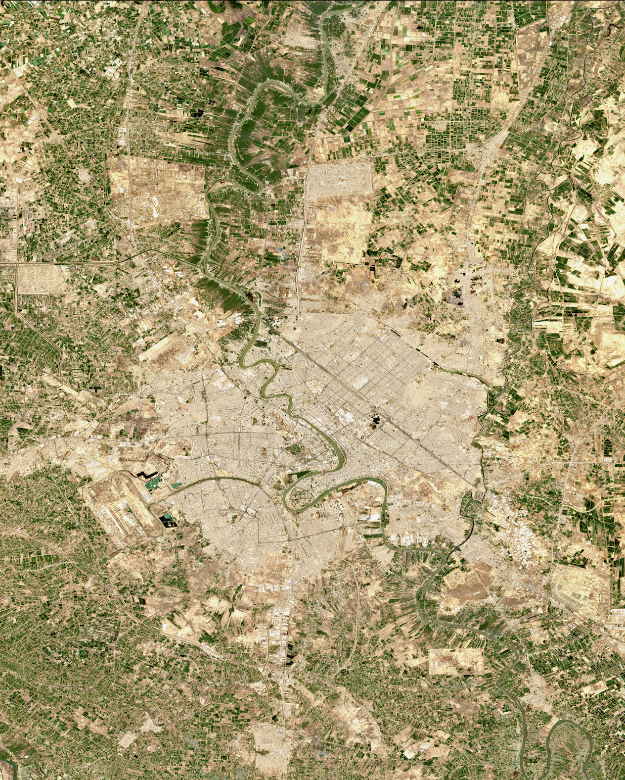 Image 1 of 1