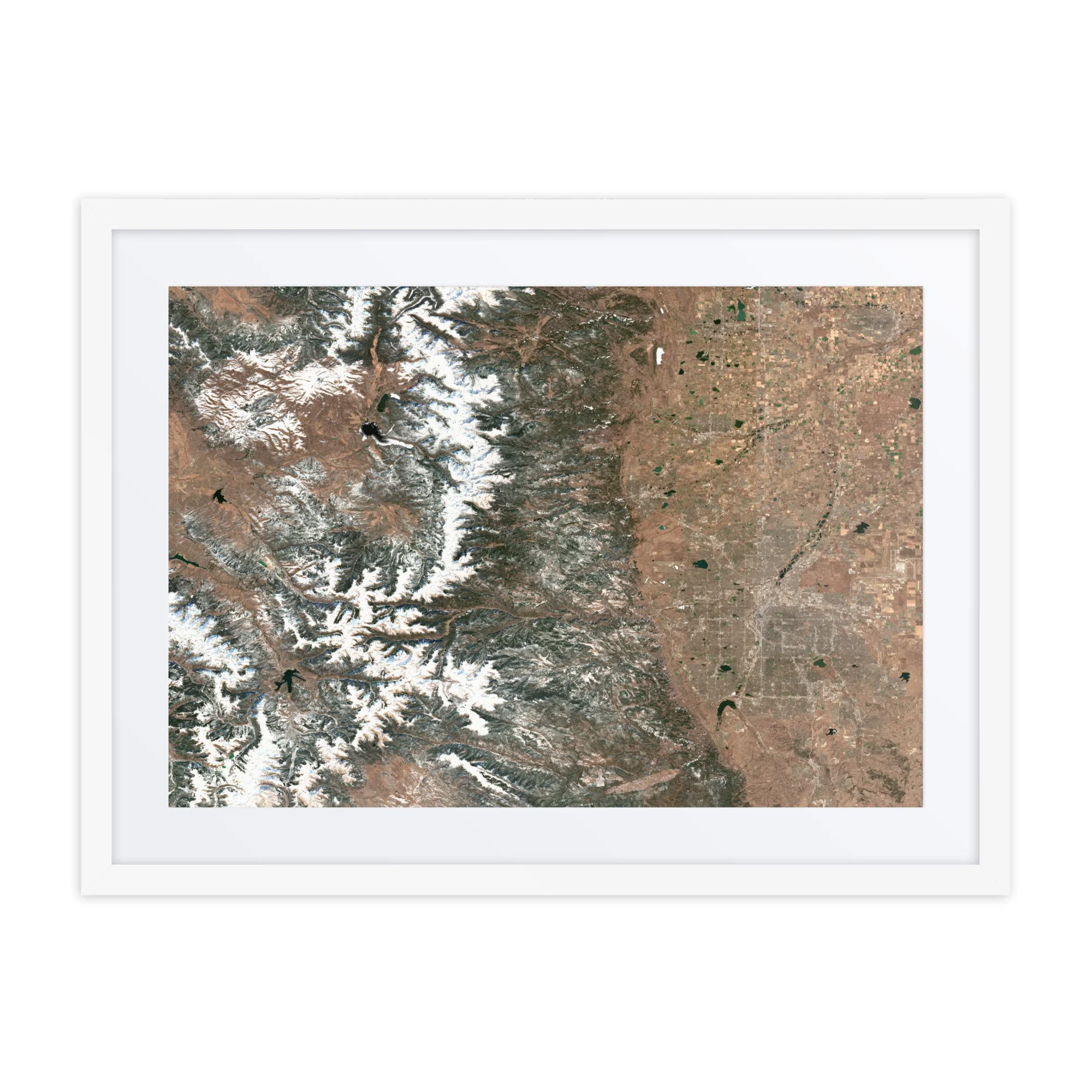
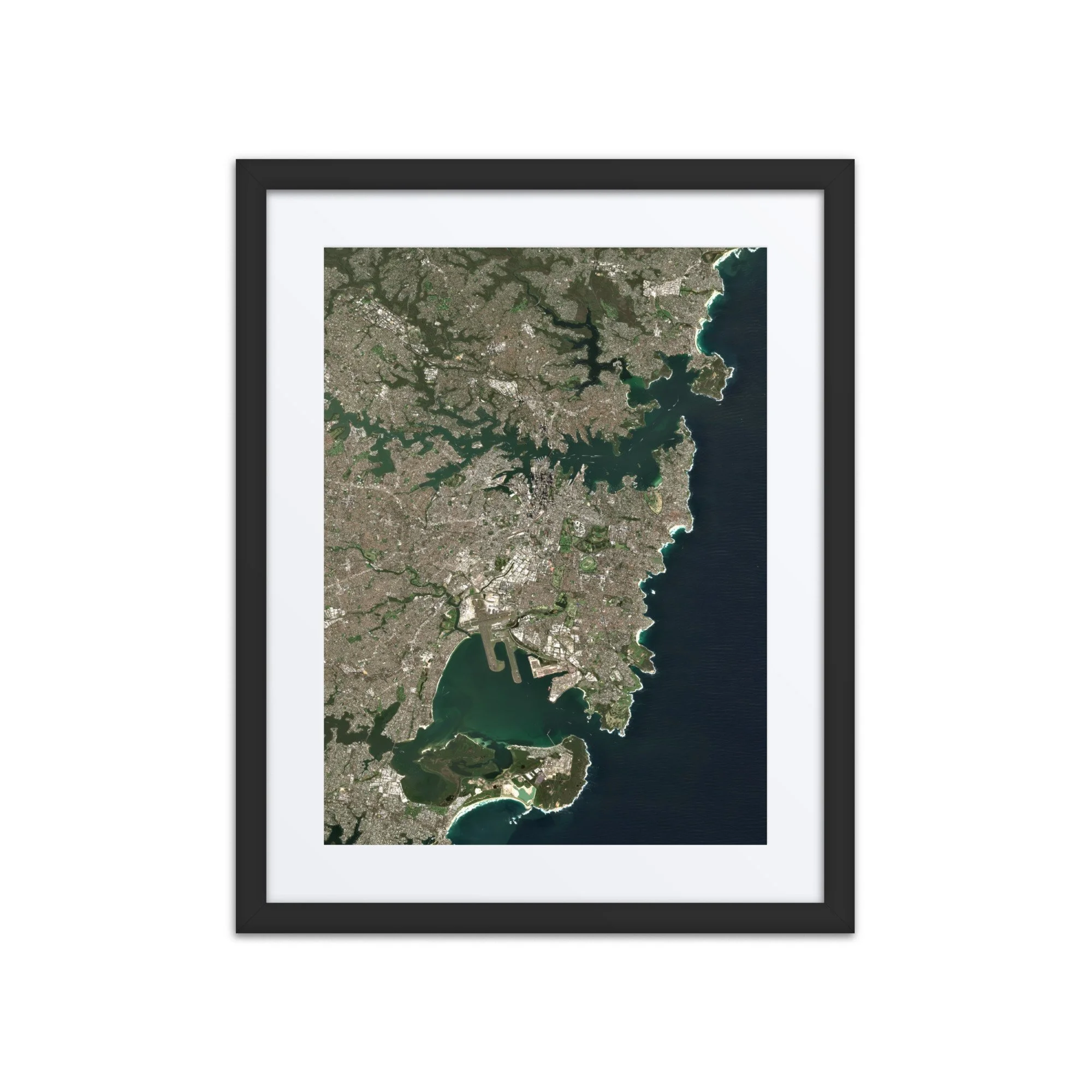
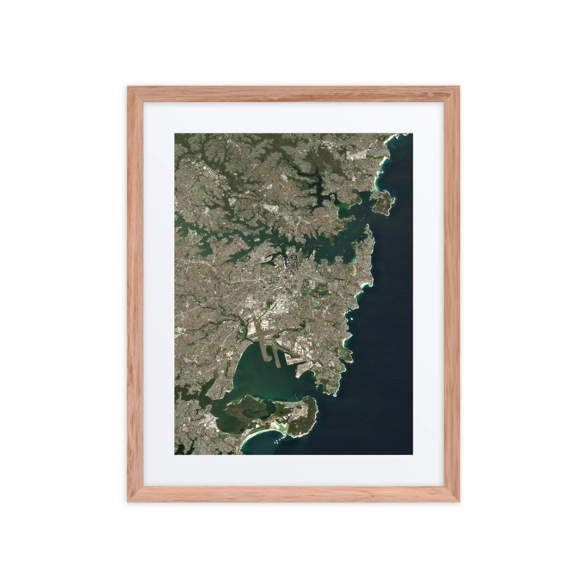
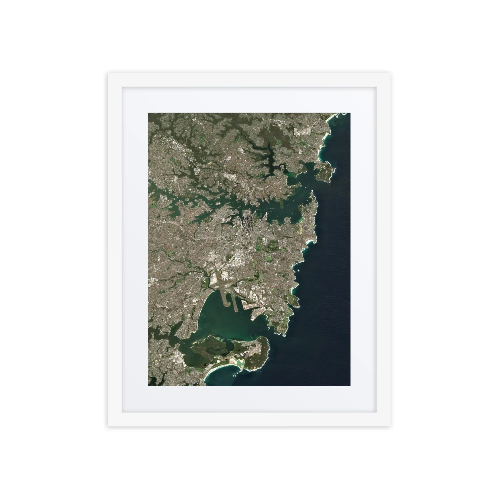
Bay of Fundy, Canada Satellite Image Map – March 20, 2026 | 16″ × 20″ Framed Print
$69.99
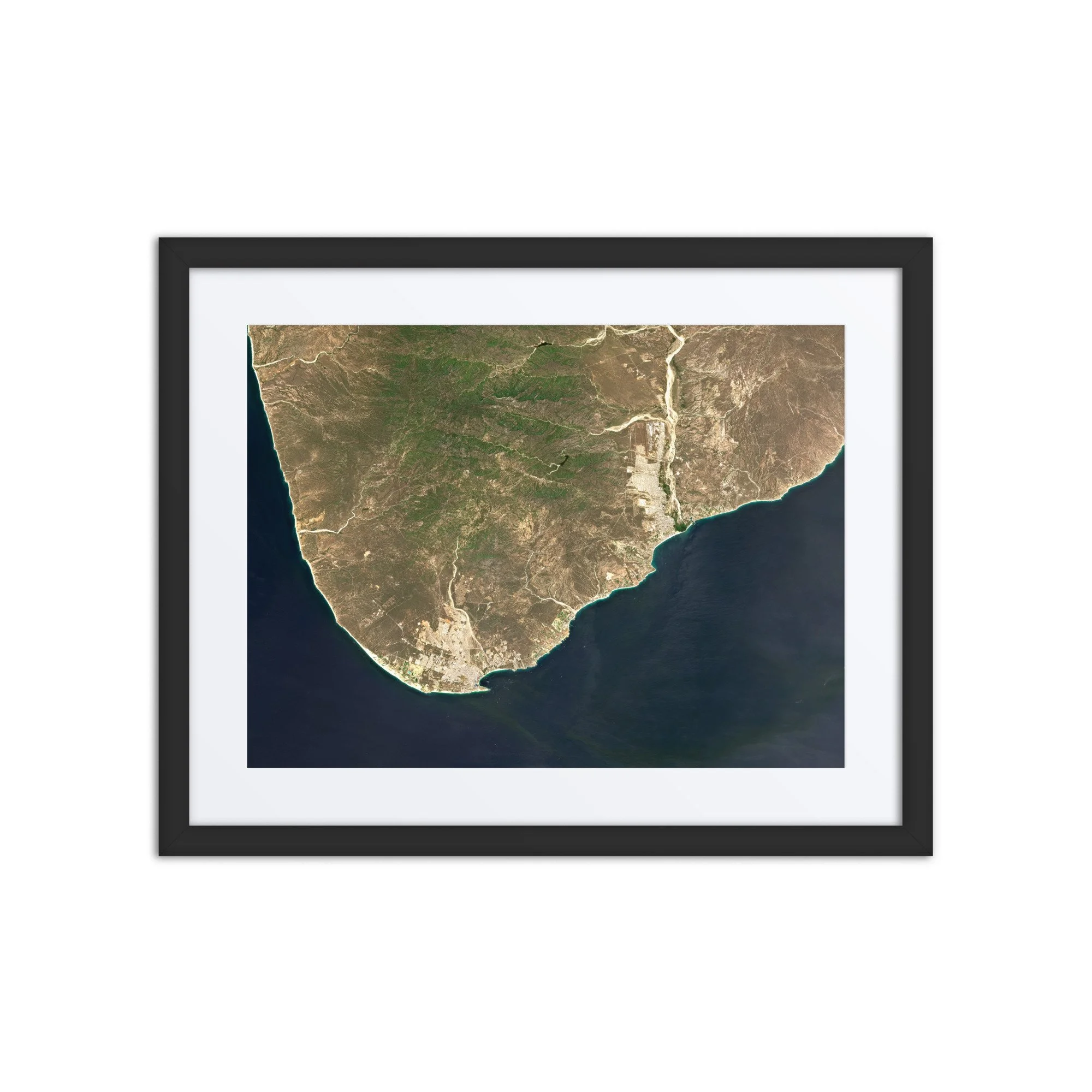
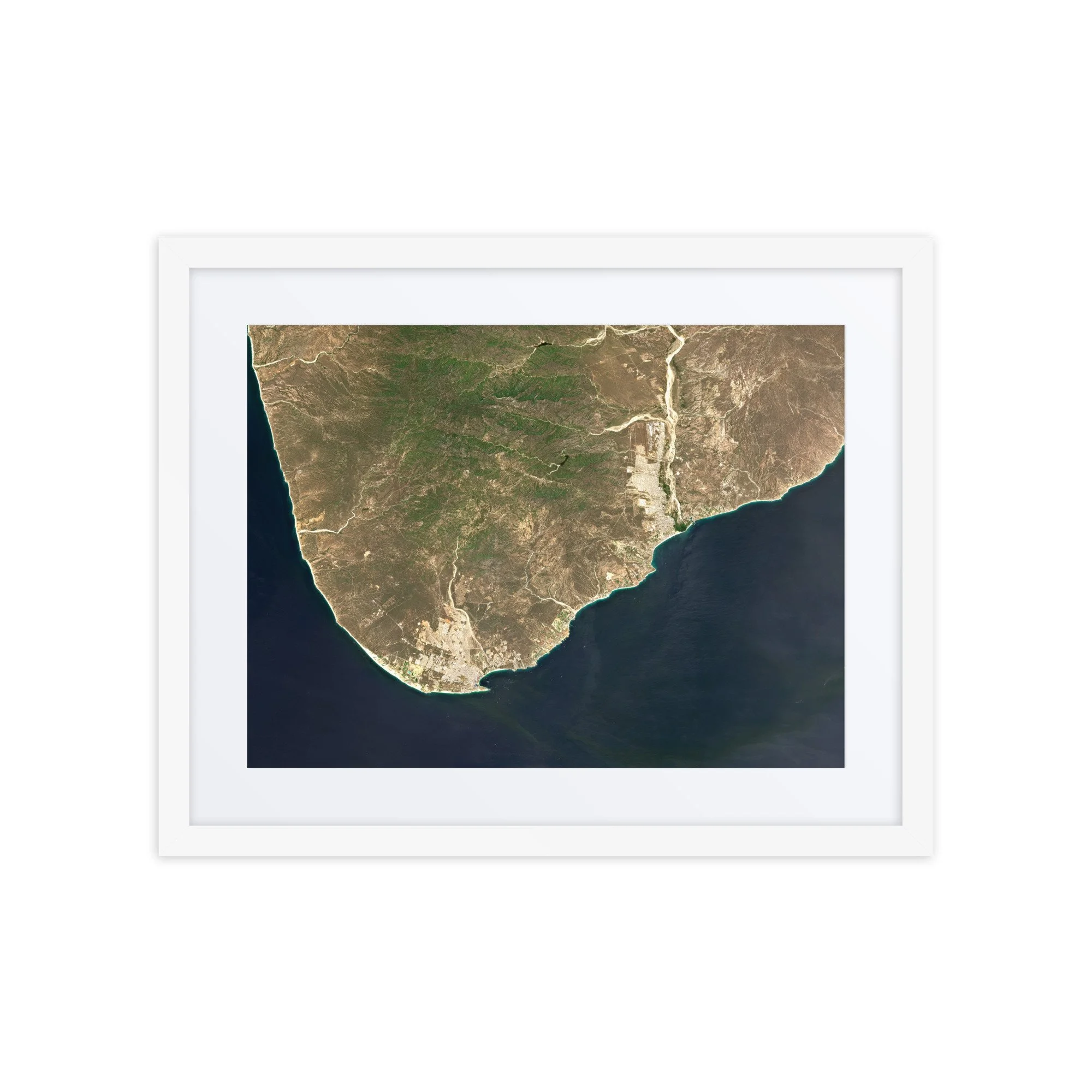
High-resolution satellite image showing the Bay of Fundy, Canada, captured on September 29, 2025.
Bay of Fundy – September 29, 2025
This image showcases the Bay of Fundy on September 2025. Visible features include the branching tidal channels of the Minas Basin, the narrow passage of the Minas Channel, and the intricate estuaries that define one of the most dynamic coastal environments on Earth.
The Bay of Fundy is world-renowned for having the highest tidal range on the planet, with water levels rising and falling by more than 40 feet (12 meters). From space, these extreme tides are clearly visible as swirling sediment plumes and shifting sandbars, particularly within the Minas Basin where powerful currents churn the water into striking shades of turquoise and brown.
Rivers flowing into the bay—including those near Truro and Amherst—carry sediment that becomes suspended in the tidal flows, creating the vivid color contrasts seen throughout the image. Coastal towns such as Parrsboro and Wolfville sit along the edges of this constantly shifting landscape.
Surrounding the waterways, early autumn begins to emerge across the forests of Nova Scotia and New Brunswick, with subtle hints of seasonal color blending into the region’s characteristic green terrain.
Captured from orbit using modified Copernicus Sentinel-2 data 2025, this high-resolution satellite image highlights the immense power of ocean tides and the ever-changing geography of the Bay of Fundy.
Make a statement in any room with this framed poster, printed on thick matte paper.
• 16″ × 20″ Framed Print
• Ayous wood .75″ (1.9 cm) thick frame from renewable forests
• Paper thickness: 10.3 mil (0.26 mm)
• Paper weight: 189 g/m²
• Lightweight
• Acrylite front protector
• Hanging hardware included
• Blank product components sourced from Japan and the US
This product is made especially for you as soon as you place an order, which is why it takes us a bit longer to deliver it to you. Making products on demand instead of in bulk helps reduce overproduction, so thank you for making thoughtful purchasing decisions!
In compliance with the General Product Safety Regulation (GPSR), Any Place From Space and SINDEN VENTURES LIMITED ensure that all consumer products offered are safe and meet EU standards. For any product safety related inquiries or concerns, please contact our EU representative at gpsr@sindenventures.com. You can also write to us at contact@anyplacefromspace.com or Markou Evgenikou 11, Mesa Geitonia, 4002, Limassol, Cyprus.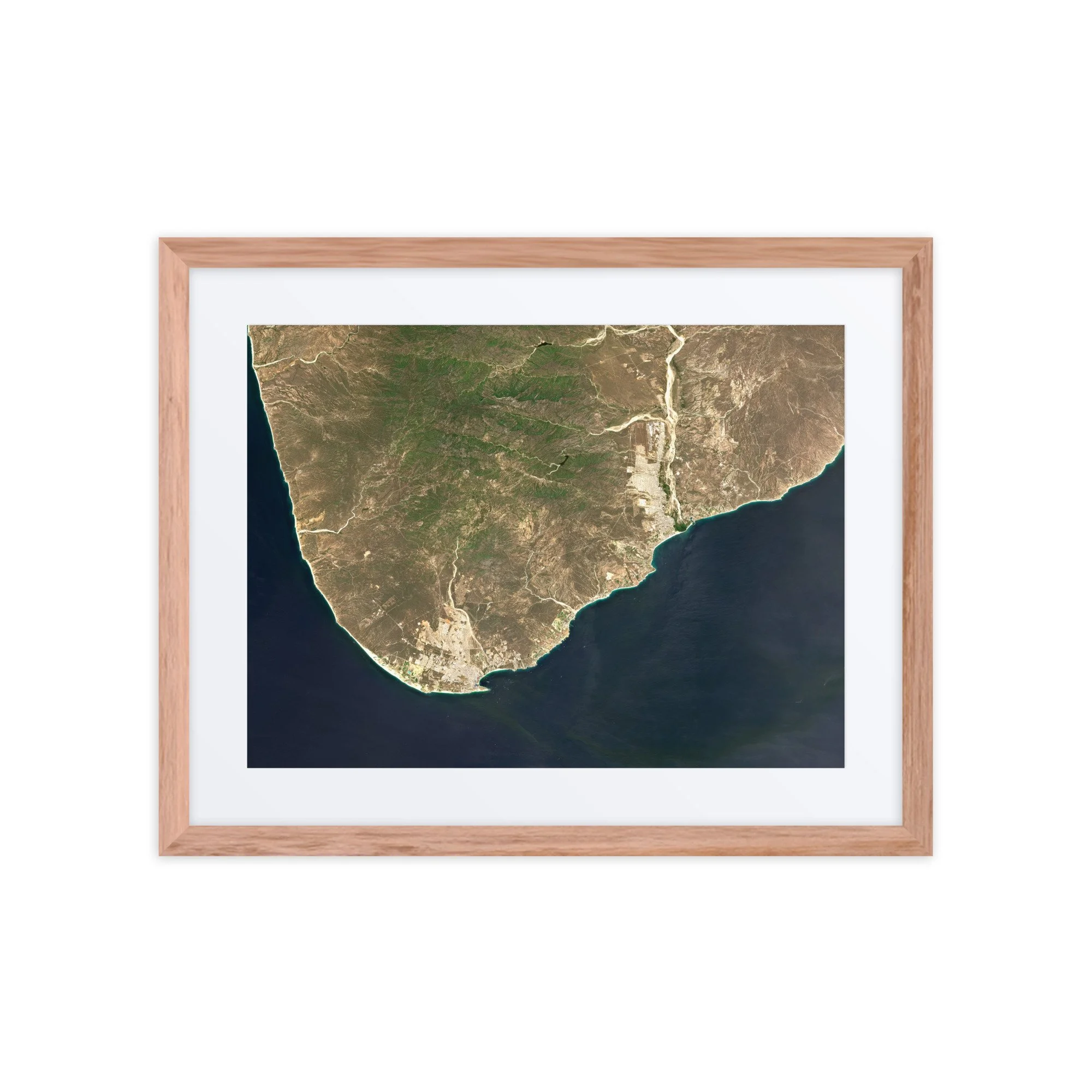
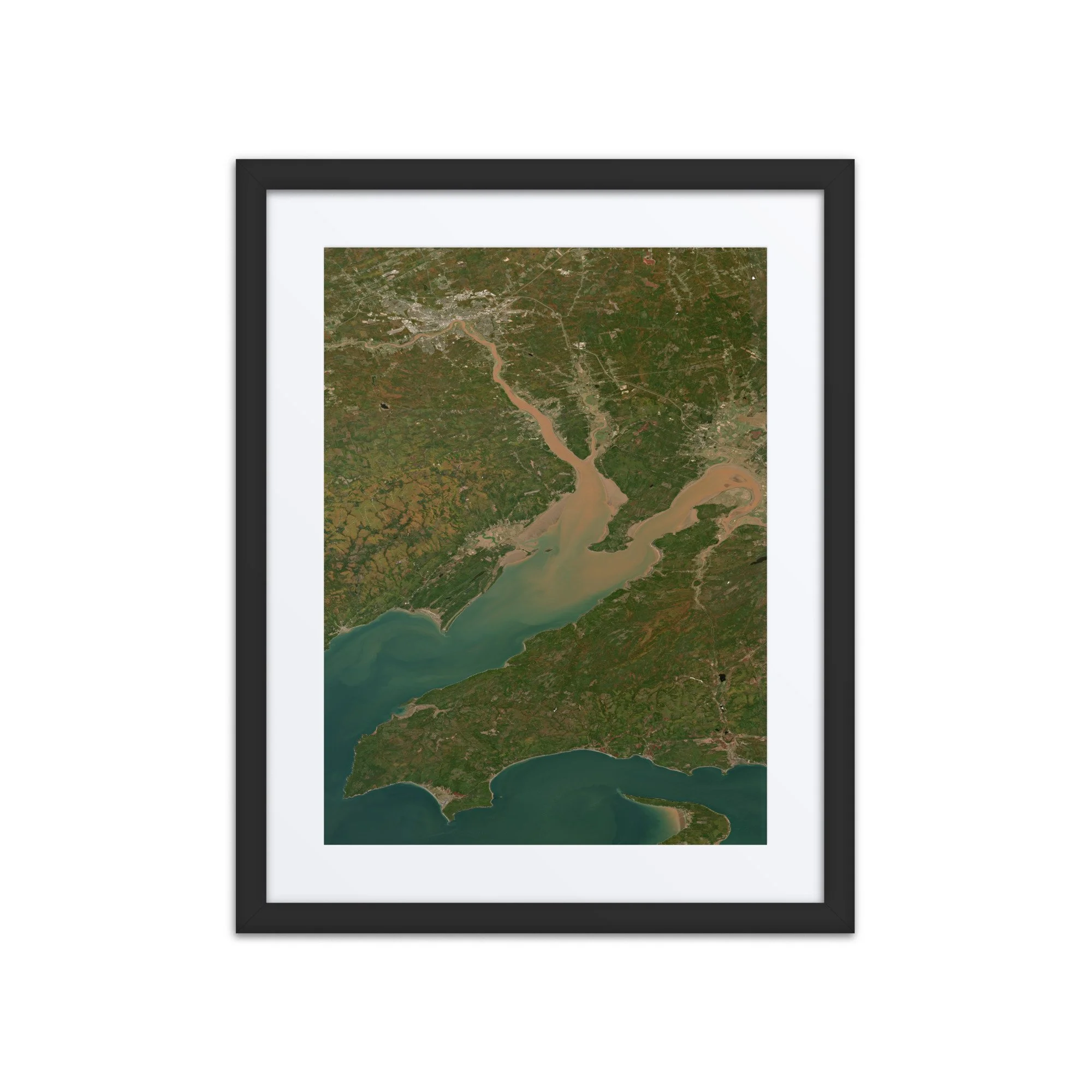 Image 1 of 3
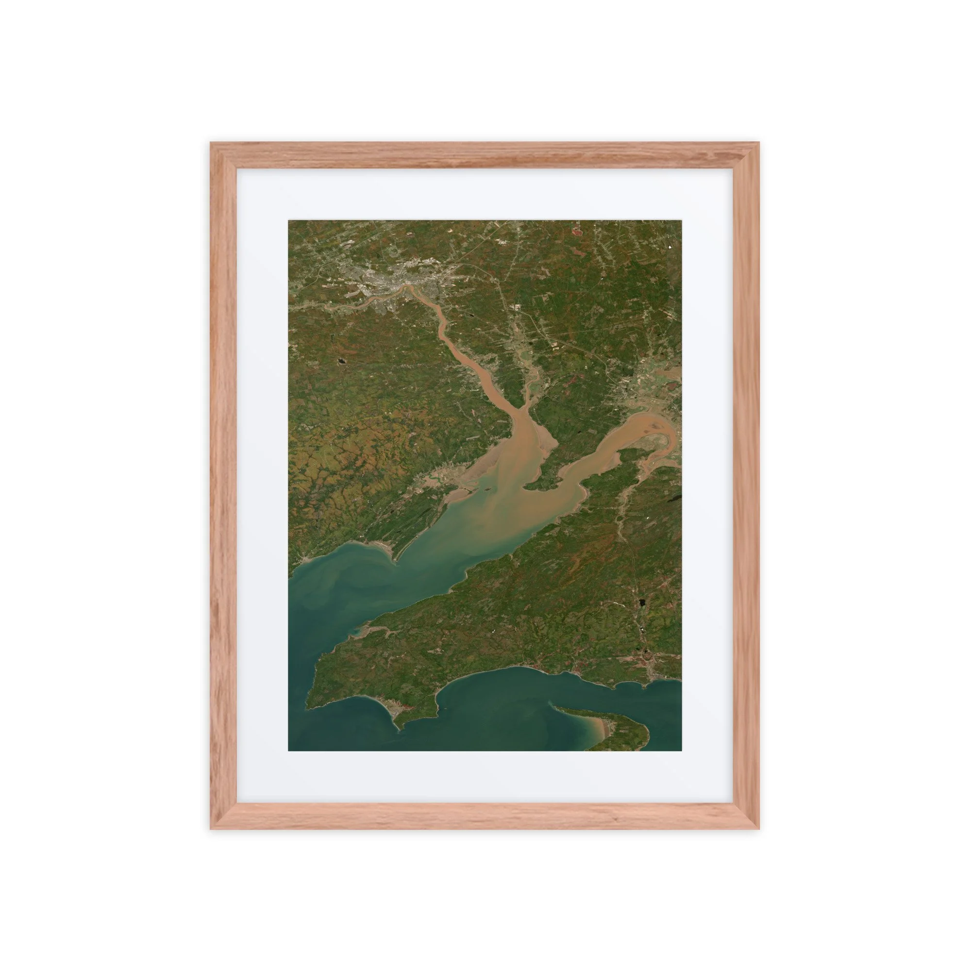 Image 2 of 3
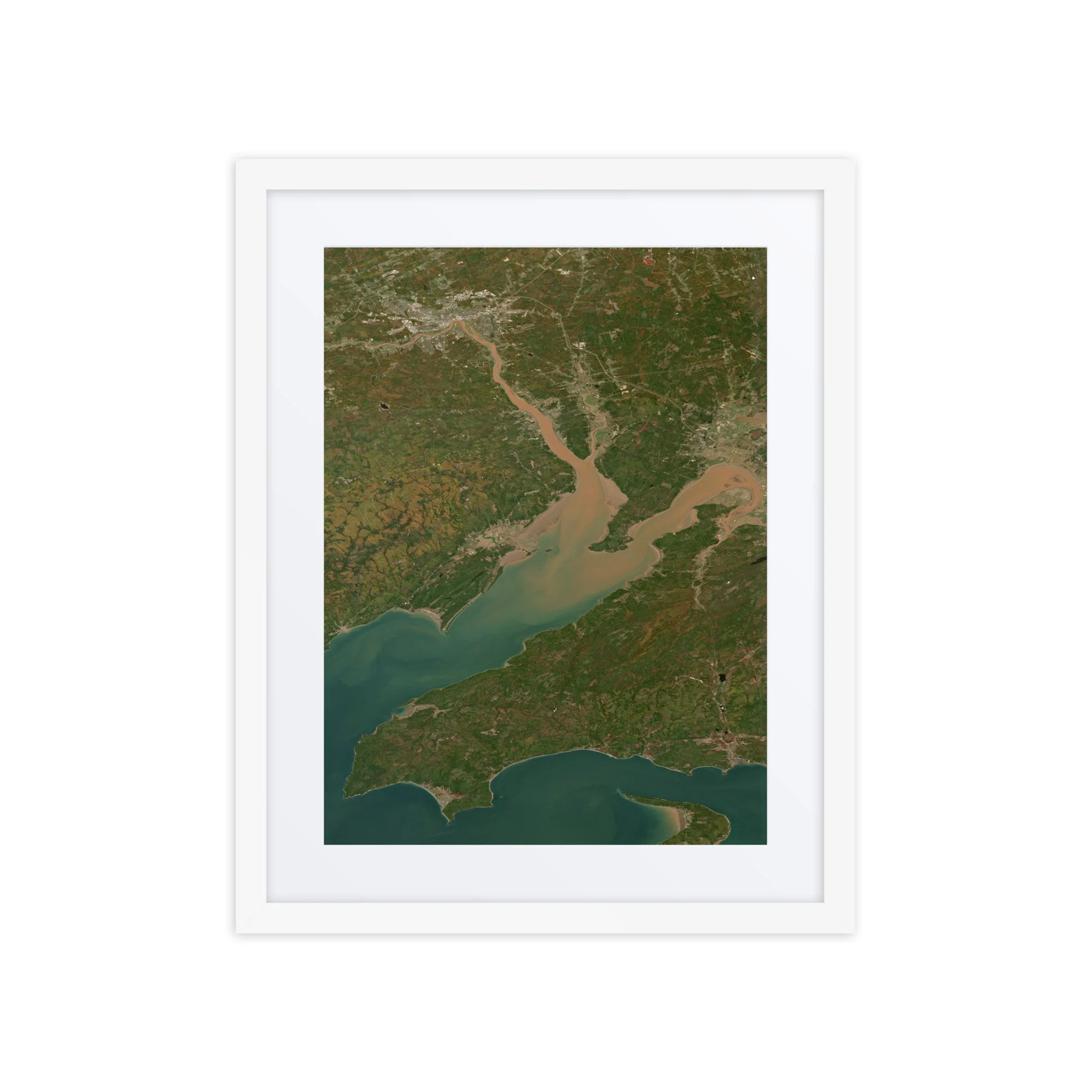 Image 3 of 3