Grosse Ile & Detroit River, Michigan from Space | Satellite Image | 16″ × 20″ Framed Print
$89.99
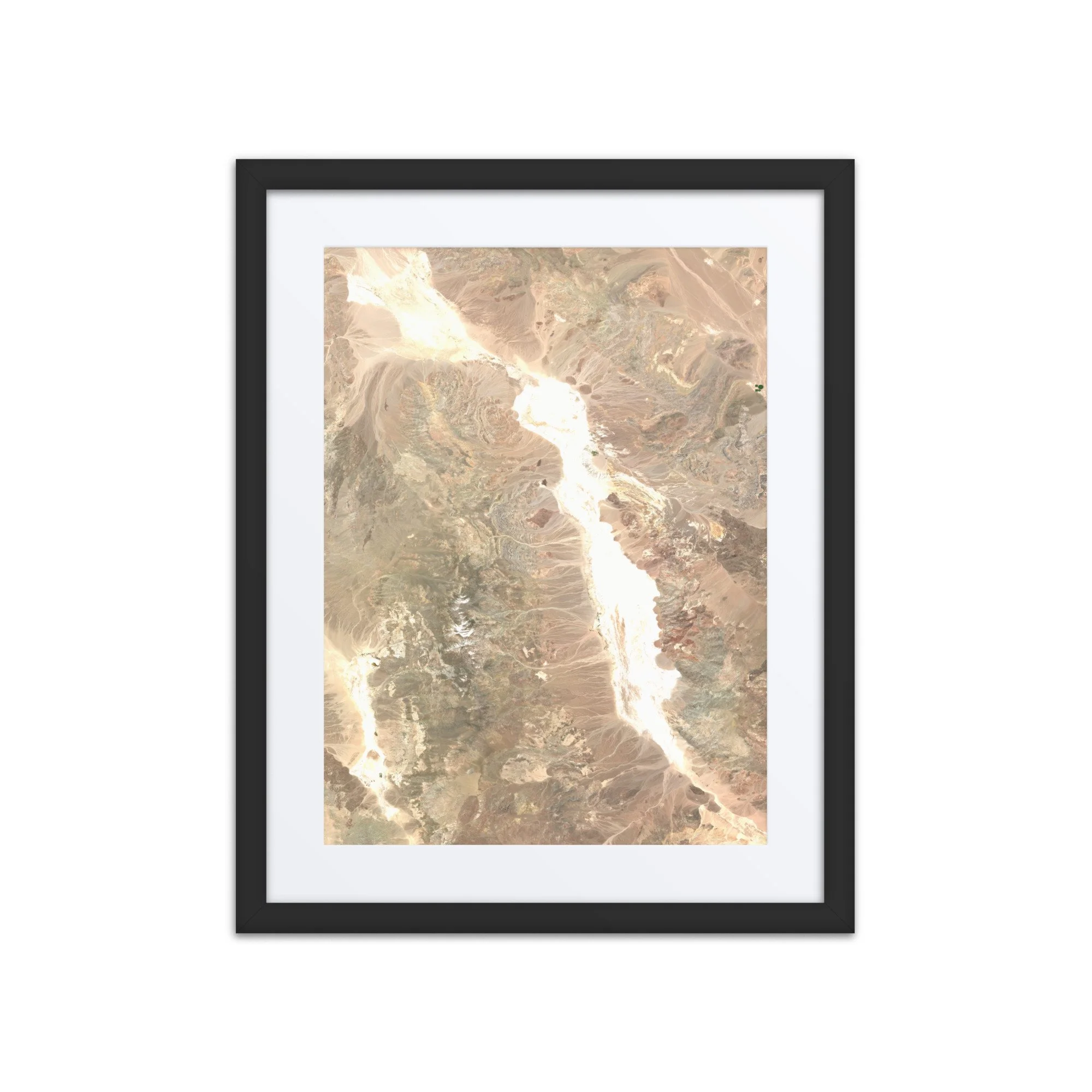
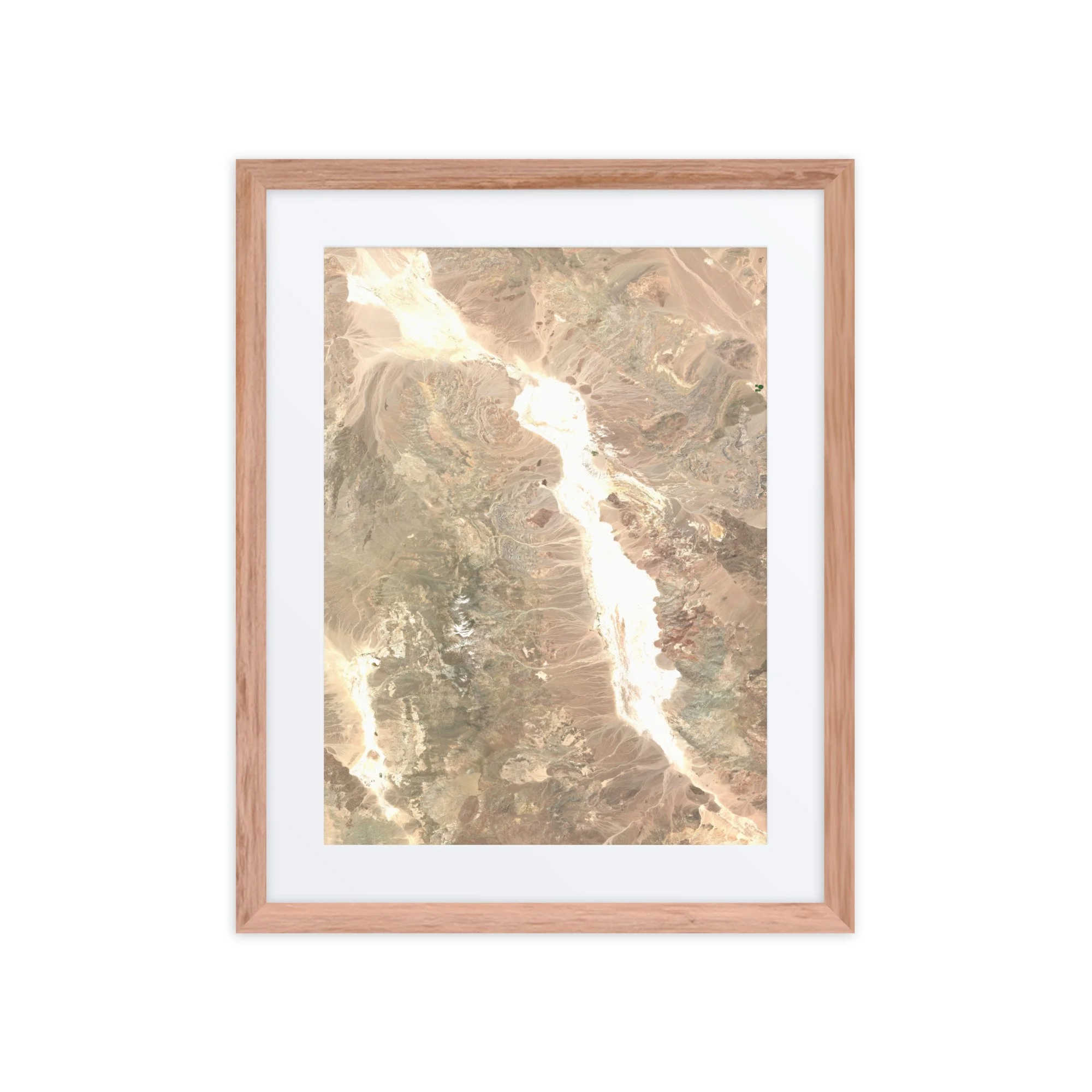
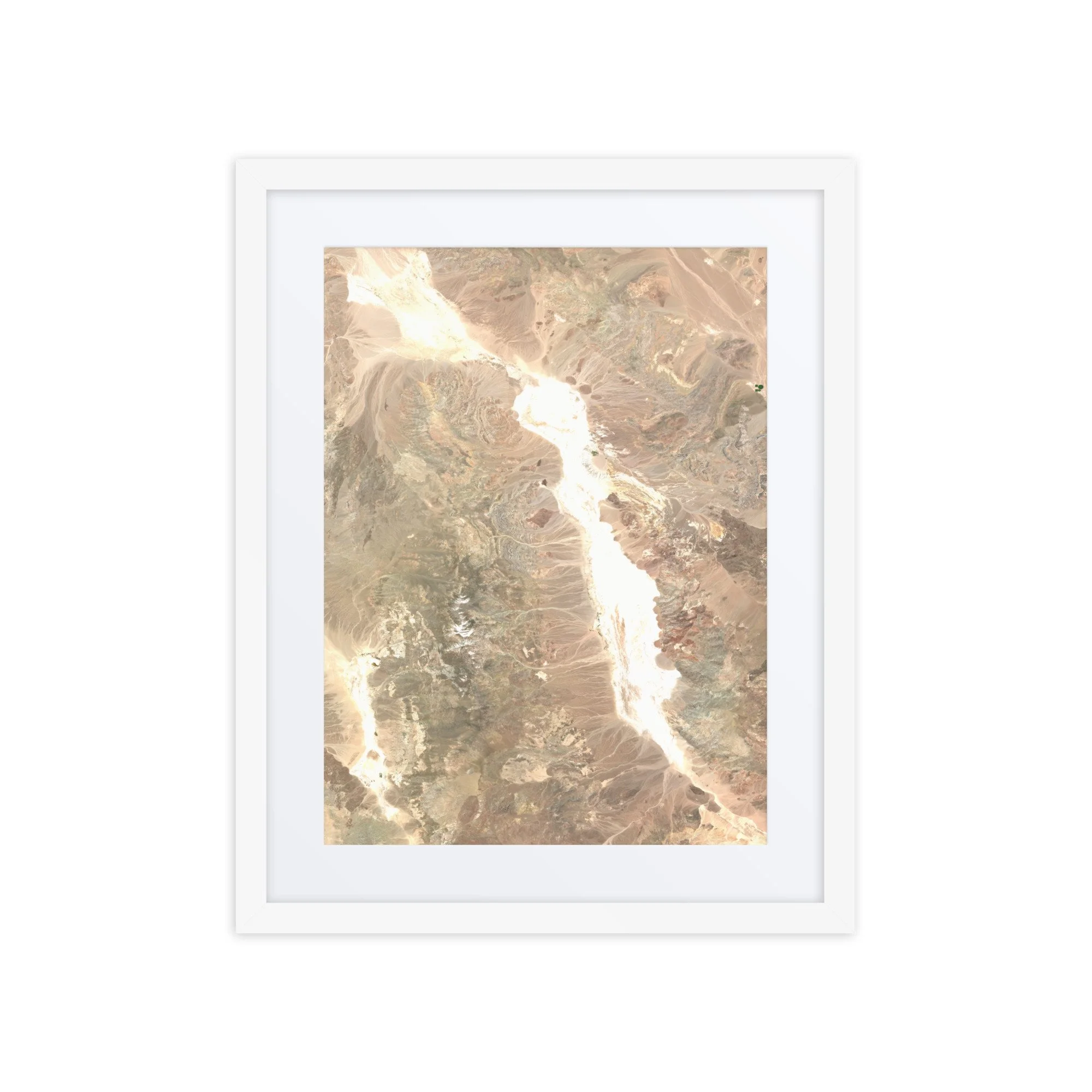
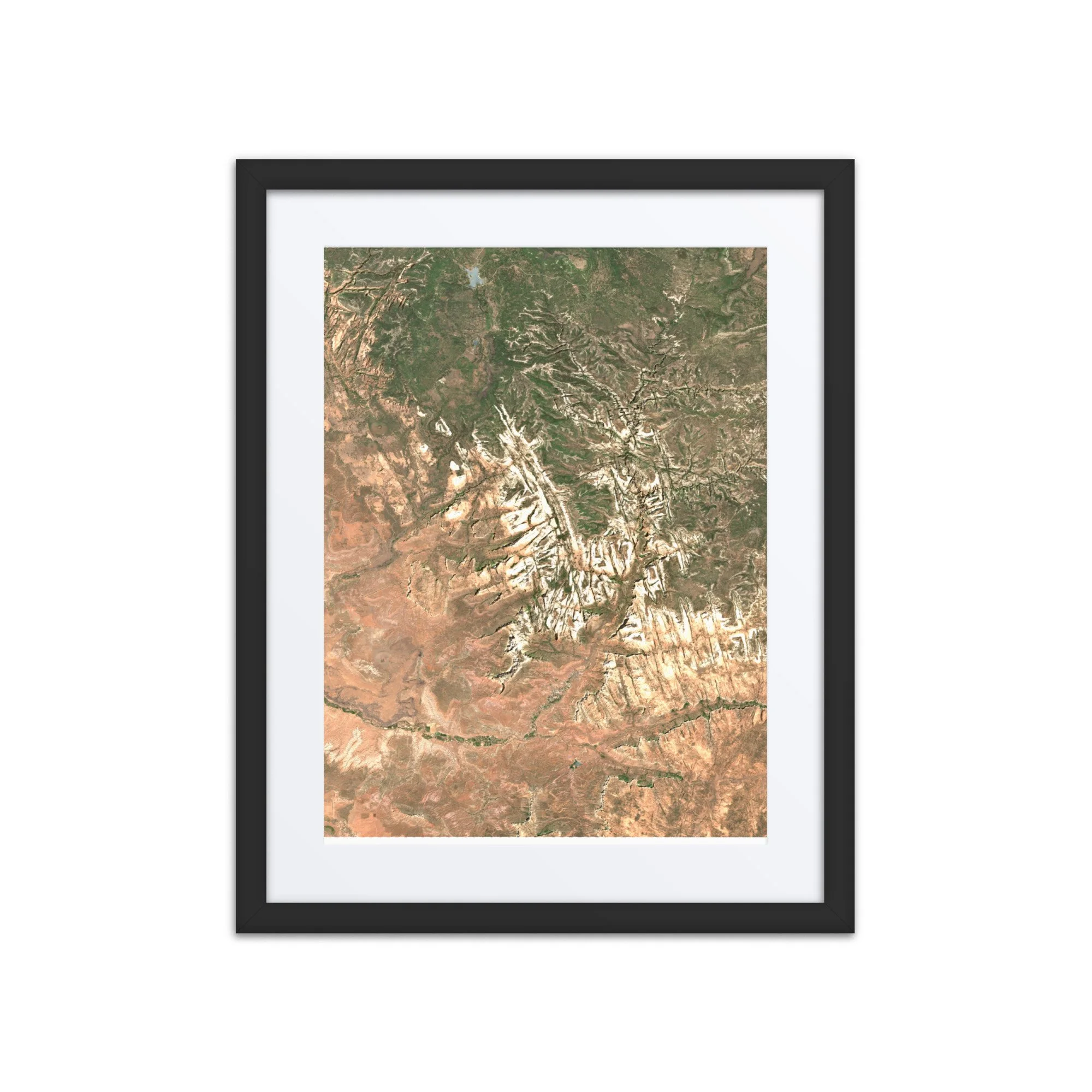
This stunning satellite image showcases Grosse Ile and the Detroit River in southeastern Michigan, captured on October 5, 2026, by the Sentinel-2 satellite. From space, the region's intricate network of islands, waterways, and coastal communities creates a remarkable landscape where the Great Lakes meet the urban and agricultural environments of Michigan and Ontario.
At the center of the image, Grosse Ile Township stretches along the Detroit River, surrounded by deep blue and turquoise waters. The island's residential neighborhoods, wooded areas, and distinctive airfield are clearly visible, while the surrounding channels and smaller islands reveal the complex geography of this important international waterway.
To the west, the sprawling suburbs of metropolitan Detroit extend across southeastern Michigan, while the eastern side of the river reveals the agricultural fields and communities of Essex County, Ontario, Canada. At the southern end of the image, the Detroit River opens into Lake Erie, where shallow waters, sediment patterns, and coastal wetlands create beautiful variations in color.
The image also highlights the region's remarkable natural and human geography, including the Detroit River International Wildlife Refuge, which protects important island, wetland, and coastal habitats along one of North America's busiest waterways.
Whether you call Grosse Ile home, have memories of the Detroit River, or simply appreciate the beauty of the Great Lakes region, this satellite image offers a unique perspective on a meaningful place from above.
Make a statement in any room with this framed poster, printed on thick matte paper.
• 16″ × 20″ Framed Print
• Ayous wood .75″ (1.9 cm) thick frame from renewable forests
• Paper thickness: 10.3 mil (0.26 mm)
• Paper weight: 189 g/m²
• Lightweight
• Acrylite front protector
• Hanging hardware included
• Blank product components sourced from Japan and the US
Attribution: Contains modified Copernicus Sentinel data 2026. Image processed by Any Place From Space.
This product is made especially for you as soon as you place an order, which is why it takes us a bit longer to deliver it to you. Making products on demand instead of in bulk helps reduce overproduction, so thank you for making thoughtful purchasing decisions!
In compliance with the General Product Safety Regulation (GPSR), Any Place From Space and SINDEN VENTURES LIMITED ensure that all consumer products offered are safe and meet EU standards. For any product safety related inquiries or concerns, please contact our EU representative at gpsr@sindenventures.com. You can also write to us at contact@anyplacefromspace.com or Markou Evgenikou 11, Mesa Geitonia, 4002, Limassol, Cyprus.
This stunning satellite image showcases Grosse Ile and the Detroit River in southeastern Michigan, captured on October 5, 2026, by the Sentinel-2 satellite. From space, the region's intricate network of islands, waterways, and coastal communities creates a remarkable landscape where the Great Lakes meet the urban and agricultural environments of Michigan and Ontario.
At the center of the image, Grosse Ile Township stretches along the Detroit River, surrounded by deep blue and turquoise waters. The island's residential neighborhoods, wooded areas, and distinctive airfield are clearly visible, while the surrounding channels and smaller islands reveal the complex geography of this important international waterway.
To the west, the sprawling suburbs of metropolitan Detroit extend across southeastern Michigan, while the eastern side of the river reveals the agricultural fields and communities of Essex County, Ontario, Canada. At the southern end of the image, the Detroit River opens into Lake Erie, where shallow waters, sediment patterns, and coastal wetlands create beautiful variations in color.
The image also highlights the region's remarkable natural and human geography, including the Detroit River International Wildlife Refuge, which protects important island, wetland, and coastal habitats along one of North America's busiest waterways.
Whether you call Grosse Ile home, have memories of the Detroit River, or simply appreciate the beauty of the Great Lakes region, this satellite image offers a unique perspective on a meaningful place from above.
Make a statement in any room with this framed poster, printed on thick matte paper.
• 16″ × 20″ Framed Print
• Ayous wood .75″ (1.9 cm) thick frame from renewable forests
• Paper thickness: 10.3 mil (0.26 mm)
• Paper weight: 189 g/m²
• Lightweight
• Acrylite front protector
• Hanging hardware included
• Blank product components sourced from Japan and the US
Attribution: Contains modified Copernicus Sentinel data 2026. Image processed by Any Place From Space.
This product is made especially for you as soon as you place an order, which is why it takes us a bit longer to deliver it to you. Making products on demand instead of in bulk helps reduce overproduction, so thank you for making thoughtful purchasing decisions!
In compliance with the General Product Safety Regulation (GPSR), Any Place From Space and SINDEN VENTURES LIMITED ensure that all consumer products offered are safe and meet EU standards. For any product safety related inquiries or concerns, please contact our EU representative at gpsr@sindenventures.com. You can also write to us at contact@anyplacefromspace.com or Markou Evgenikou 11, Mesa Geitonia, 4002, Limassol, Cyprus.
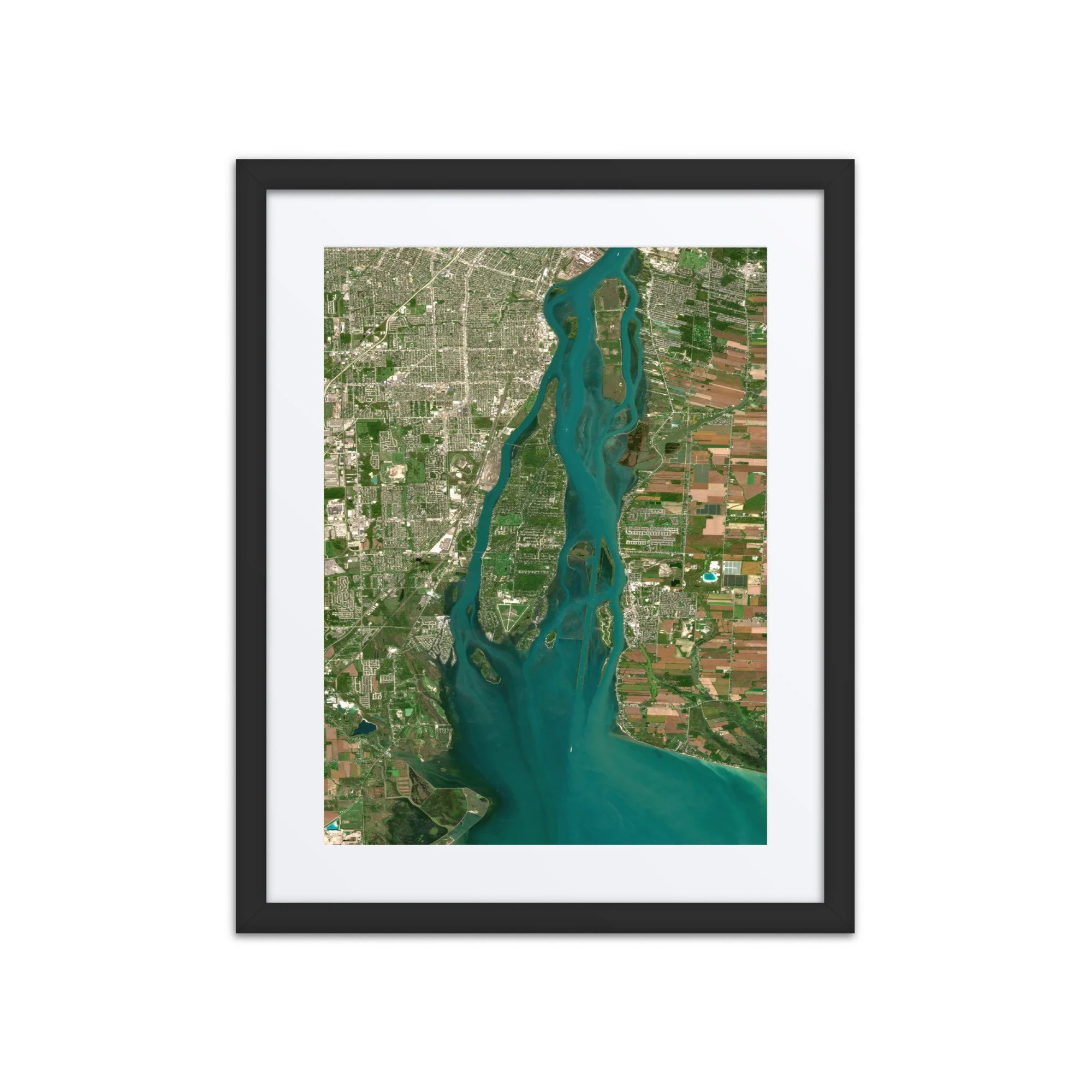 Image 1 of 3
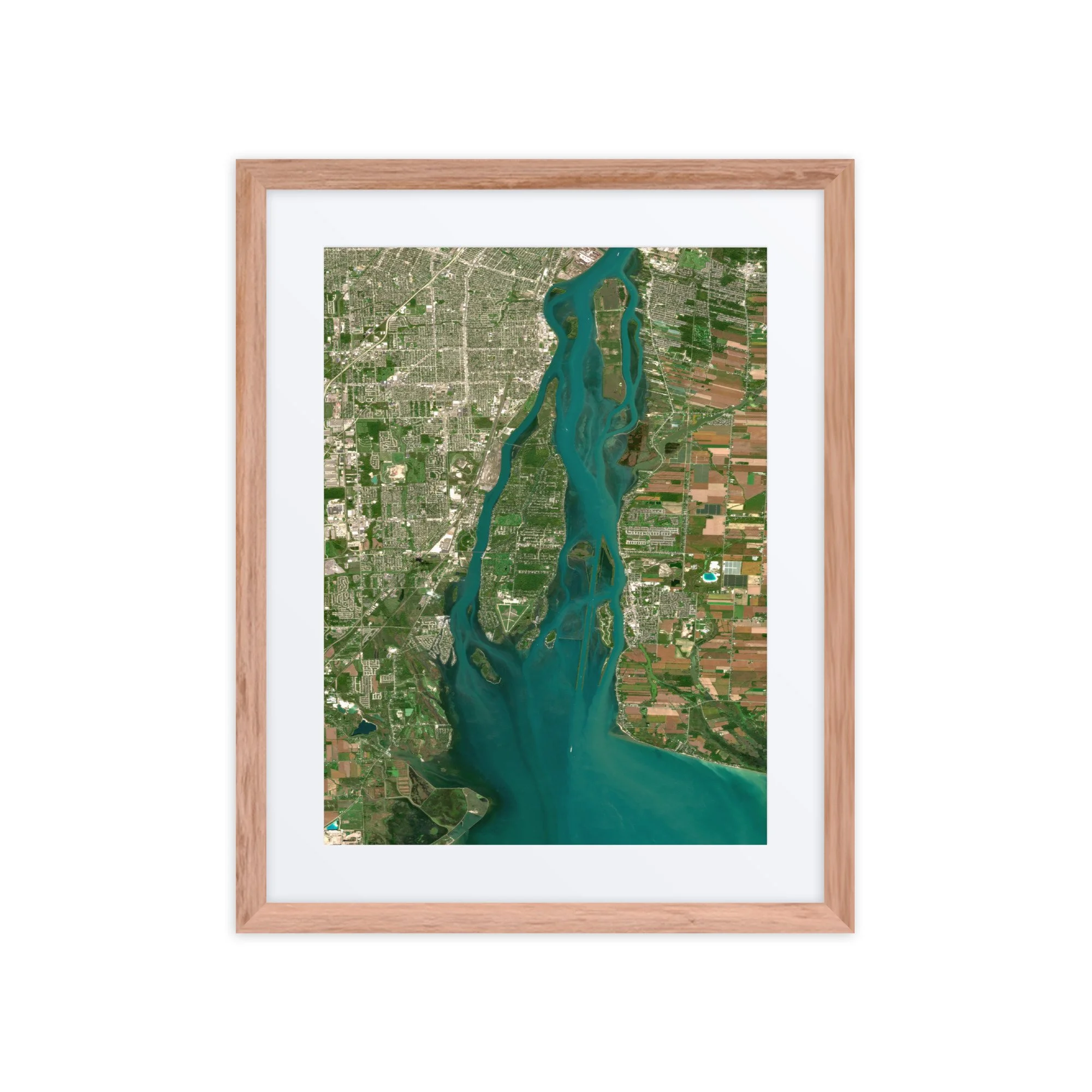 Image 2 of 3
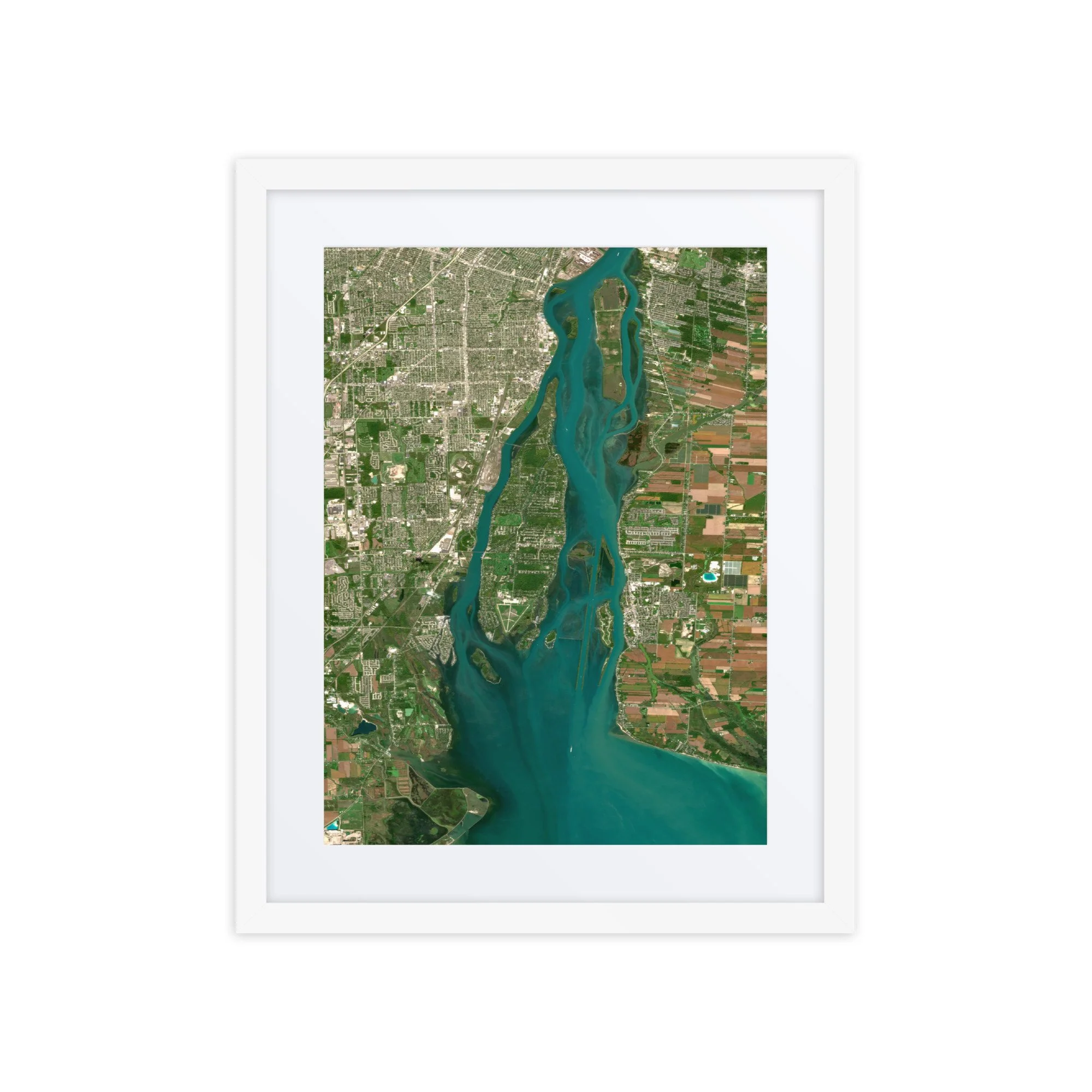 Image 3 of 3