Holguín, Cuba from Space – September 04, 1991 – Satellite Image

$9.99

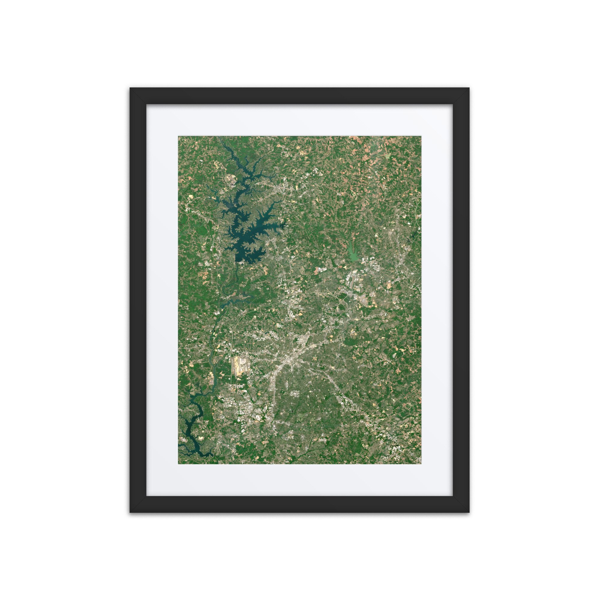
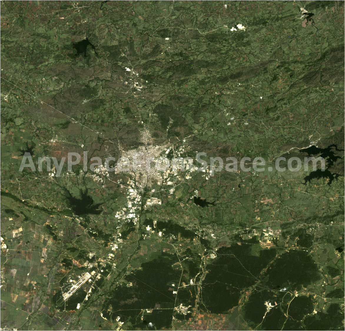
This image showcases Holguín, Cuba on September 4, 1991, offering a unique satellite view of the city and surrounding landscape more than three decades ago.

At the center of the image, the dense urban footprint of Holguín stands out against the lush green countryside of eastern Cuba. Roads radiate outward from the city into a patchwork of agricultural fields, forests, rural communities, and rolling terrain. Several dark reservoirs and lakes are scattered throughout the surrounding landscape, creating striking contrasts with the vegetation.

To the southwest, the long runways of Frank País Airport are clearly visible from space, while the broader image reveals the relationship between Holguín's urban development and the agricultural and forested landscapes that surround it.

The age of this scene makes it particularly special. Captured in 1991, the image preserves a historical snapshot of Holguín's geography and development, making it an excellent piece for anyone with a personal or family connection to the region, as well as those interested in Cuba, geography, history, or satellite imagery.

Captured from orbit using Landsat imagery, this image provides a distinctive look at Holguín, Cuba as it appeared on September 4, 1991.

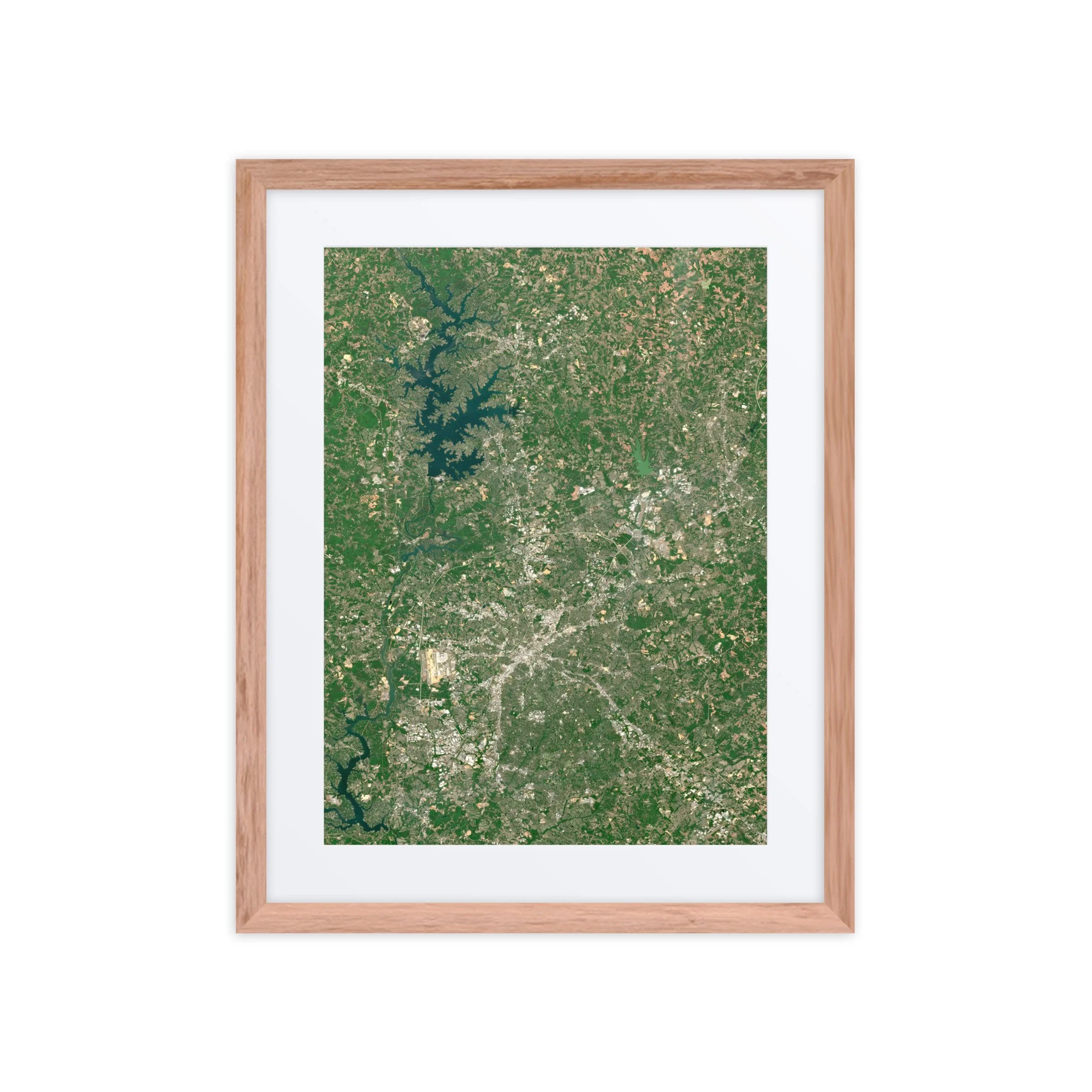
This image showcases Holguín, Cuba on September 4, 1991, offering a unique satellite view of the city and surrounding landscape more than three decades ago.

At the center of the image, the dense urban footprint of Holguín stands out against the lush green countryside of eastern Cuba. Roads radiate outward from the city into a patchwork of agricultural fields, forests, rural communities, and rolling terrain. Several dark reservoirs and lakes are scattered throughout the surrounding landscape, creating striking contrasts with the vegetation.

To the southwest, the long runways of Frank País Airport are clearly visible from space, while the broader image reveals the relationship between Holguín's urban development and the agricultural and forested landscapes that surround it.

The age of this scene makes it particularly special. Captured in 1991, the image preserves a historical snapshot of Holguín's geography and development, making it an excellent piece for anyone with a personal or family connection to the region, as well as those interested in Cuba, geography, history, or satellite imagery.

Captured from orbit using Landsat imagery, this image provides a distinctive look at Holguín, Cuba as it appeared on September 4, 1991.

File Format:
• High-resolution PNG file

Delivery:
• Instant digital download available after purchase

Uses:
• Digital Wallpaper
• Desktop Background
• Web Content
• Print-ready for posters, postcards, or other memorabilia

Additional Information:
This high-resolution image makes a great wallpaper, desktop background, or a unique visual element for your own web content.

Attribution:
• Contains modified Copernicus data 2025
• Image processed by Any Place From Space
• Attribution for Any Place From Space is not required, but we really appreciate referrals to AnyPlaceFromSpace.com

Looking for an image from a different date, or a different location?
Submit a custom request →