Lake Thompson, South Dakota

$9.99

Enjoy a crisp true‑color satellite image of Lake Thompson and its surrounding prairie, captured on July 2, 2025 by the European Space Agency’s Sentinel‑2 satellite. This high-resolution digital download highlights the natural tones of the lake, farmland, wetlands, and open skies across Kingsbury County. Perfect for nature lovers, local residents, or anyone inspired by the prairie pothole landscape.

Contains modified Copernicus Sentinel data (2025), processed by AnyPlaceFromSpace.com.

What You’ll Receive:
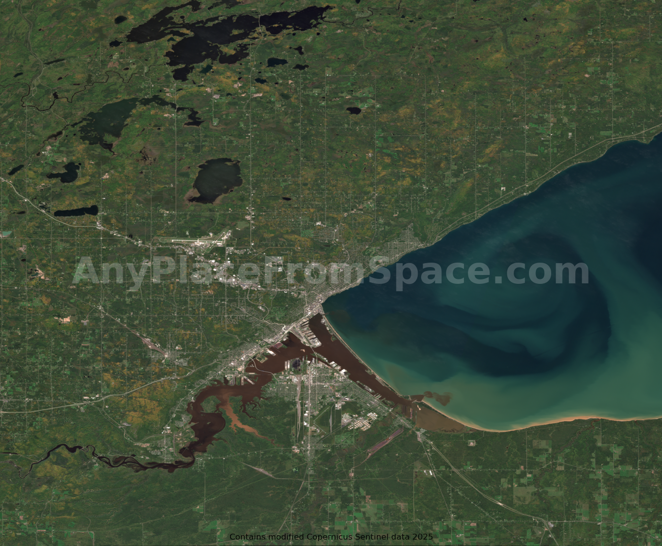
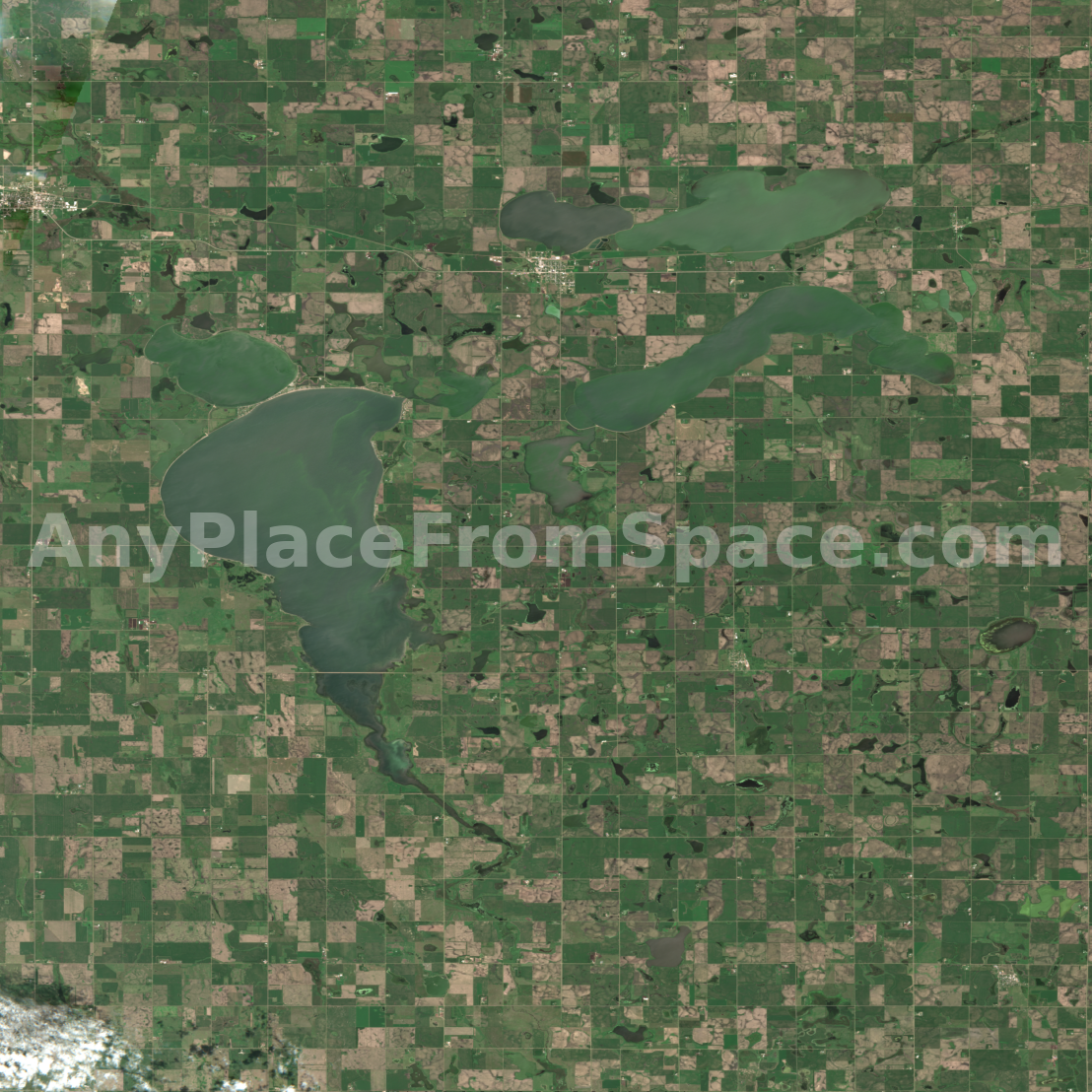
A high-resolution TIFF image of Lake Thompson and the surrounding South Dakota landscape, captured by the Sentinel-2 satellite on July 2, 2025. This natural color (RGB) image preserves the full visual detail and quality of the original satellite data, suitable for printing, viewing, or digital display.

  • Format: GeoTIFF (.tif)

  • Resolution: 10 meters per pixel

  • Coverage: Lake Thompson and surrounding farmland in Kingsbury County, SD

  • Processing: True color composite using Sentinel-2 bands 4, 3, and 2

  • Use case: Ideal for archival, printing, or personal mapping projects

Attribution: Contains modified Copernicus Sentinel data (2025), © European Space Agency, processed by AnyPlaceFromSpace.com.