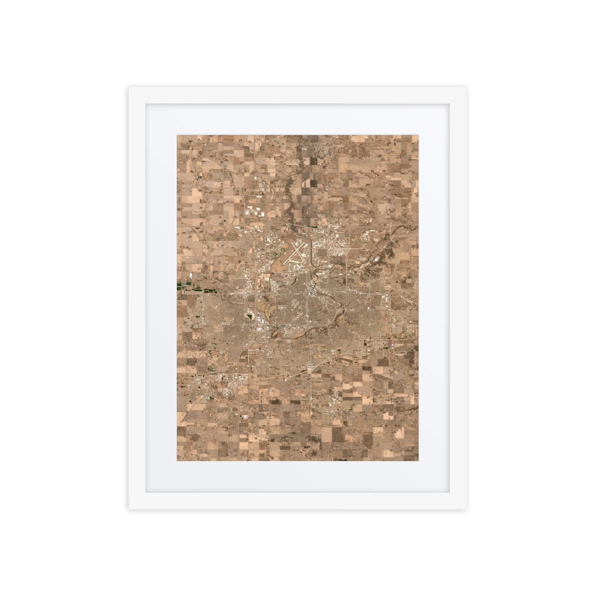
Montreal From Space – Satellite Image Map of Montreal | 16″ × 20″ Framed Print
$69.99
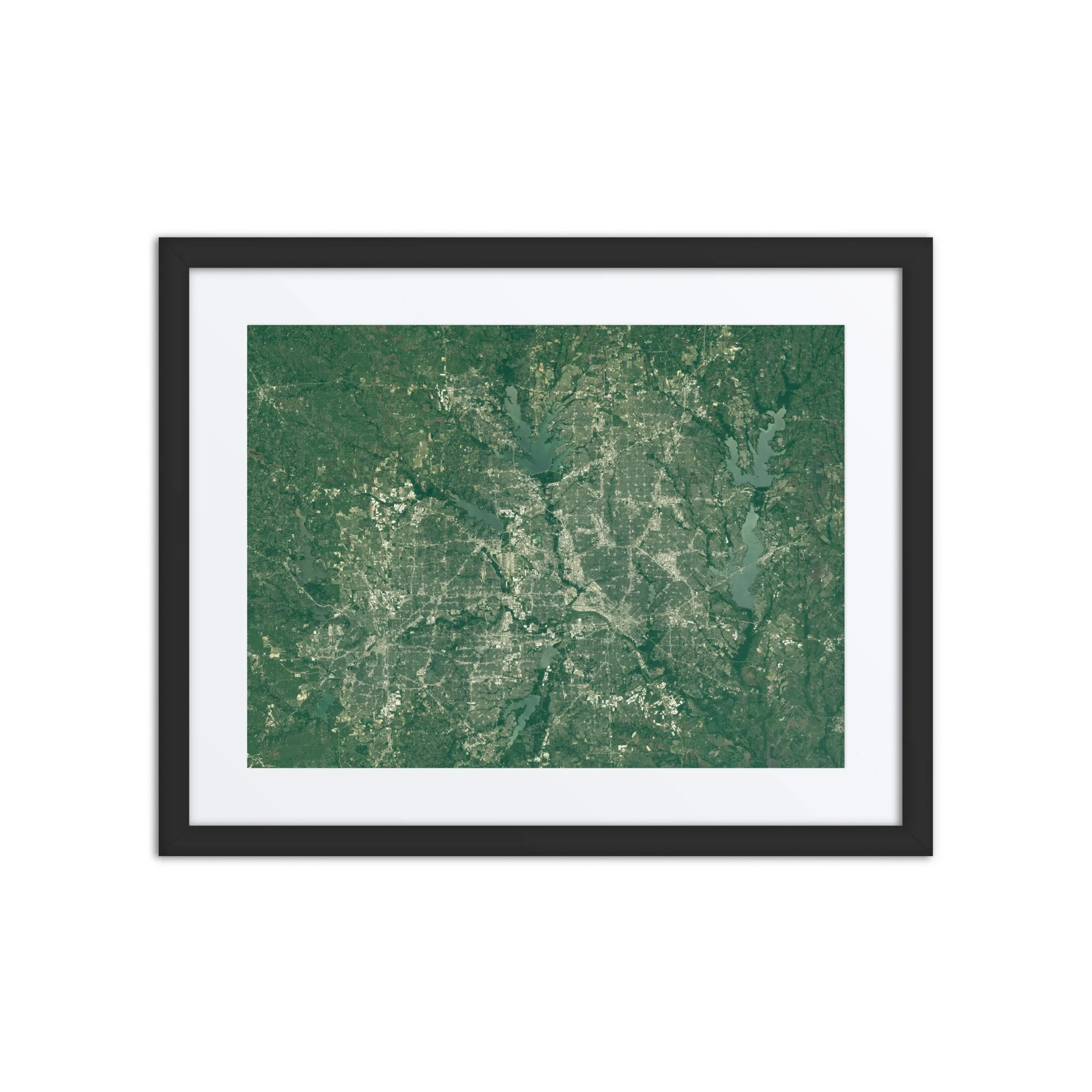
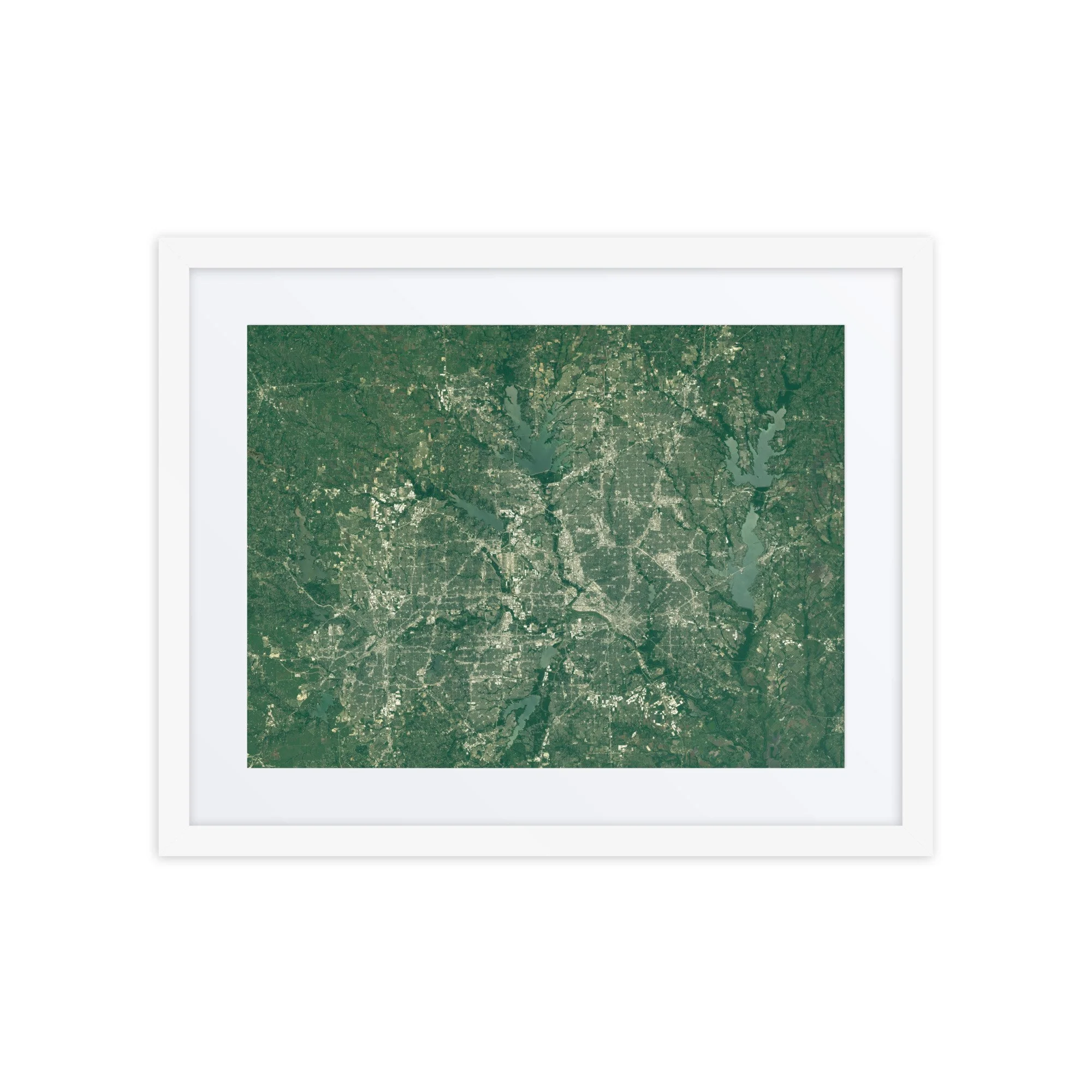
High-resolution satellite image of Montreal captured from space using Sentinel-2 data. Explore Montreal’s river system, city grid, and surrounding farmland in this detailed Montreal satellite map.
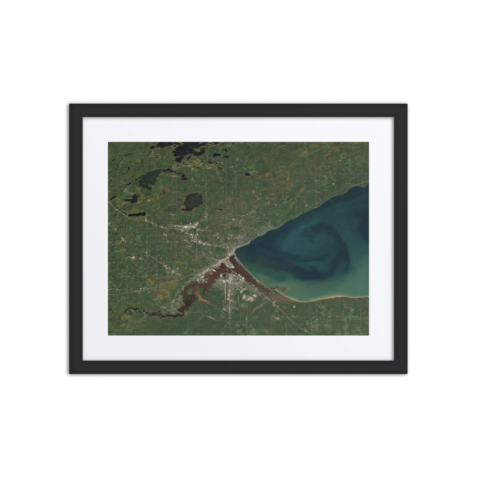
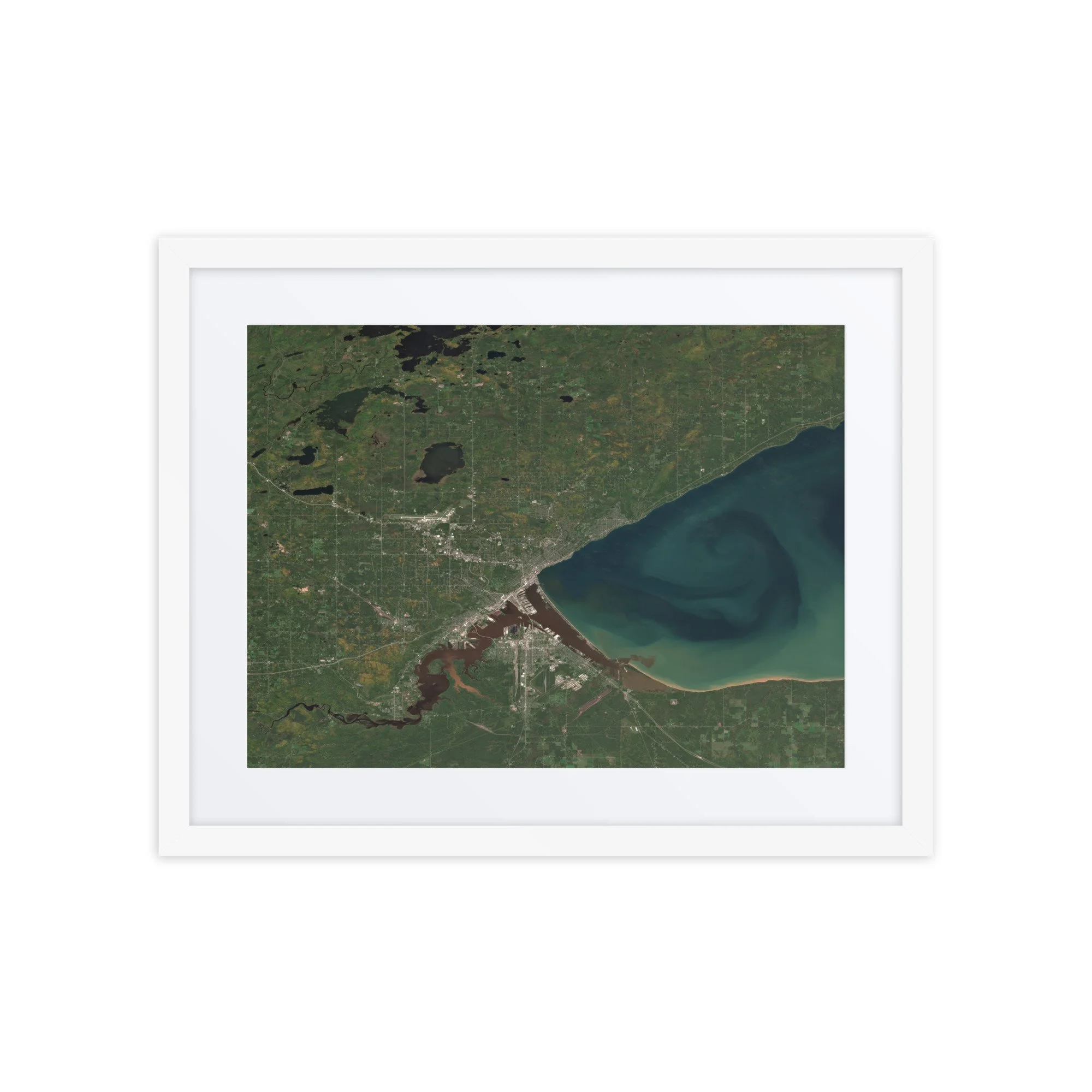
Montreal, Quebec – October 16, 2025
This image showcases Montreal, Quebec as seen from space on October 16, 2025. Visible features include the dense urban core of Montreal, the winding St. Lawrence River, surrounding waterways and islands, and the striking contrast between the city’s grid and the patchwork of agricultural land that surrounds it. The river’s deep blues and greens carve through the landscape, highlighting Montreal’s unique geography as an island city shaped by water.
Captured from orbit using Copernicus Sentinel-2 satellite data, this Montreal satellite image offers a clean, map-like perspective that blends natural and human-made patterns — perfect for anyone interested in Montreal maps, city geography, or Earth imagery from space.
Make a statement in any room with this framed poster, printed on thick matte paper.
• Ayous wood .75″ (1.9 cm) thick frame from renewable forests
• Paper thickness: 10.3 mil (0.26 mm)
• Paper weight: 189 g/m²
• Lightweight
• Acrylite front protector
• Hanging hardware included
• Blank product components sourced from Japan and the US
This product is made especially for you as soon as you place an order, which is why it takes us a bit longer to deliver it to you. Making products on demand instead of in bulk helps reduce overproduction, so thank you for making thoughtful purchasing decisions!
In compliance with the General Product Safety Regulation (GPSR), Any Place From Space and SINDEN VENTURES LIMITED ensure that all consumer products offered are safe and meet EU standards. For any product safety related inquiries or concerns, please contact our EU representative at gpsr@sindenventures.com. You can also write to us at contact@anyplacefromspace.com or Markou Evgenikou 11, Mesa Geitonia, 4002, Limassol, Cyprus.
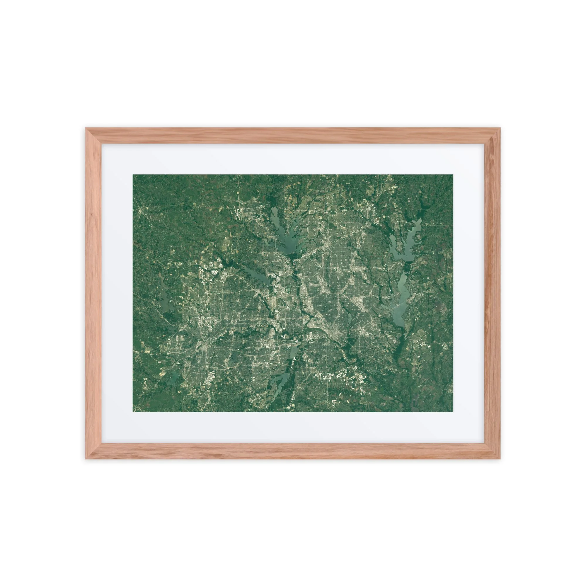
High-resolution satellite image of Montreal captured from space using Sentinel-2 data. Explore Montreal’s river system, city grid, and surrounding farmland in this detailed Montreal satellite map.
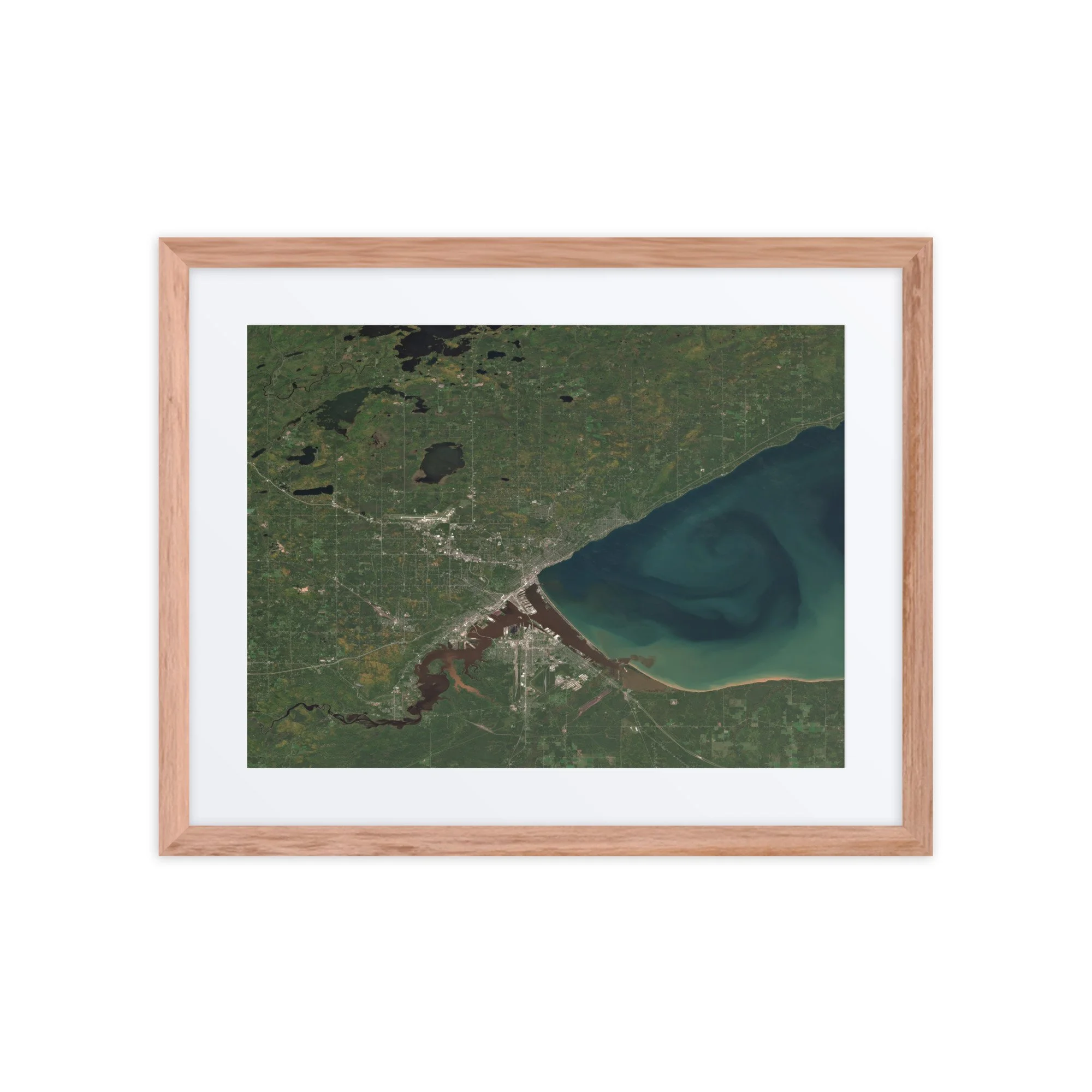
Montreal, Quebec – October 16, 2025
This image showcases Montreal, Quebec as seen from space on October 16, 2025. Visible features include the dense urban core of Montreal, the winding St. Lawrence River, surrounding waterways and islands, and the striking contrast between the city’s grid and the patchwork of agricultural land that surrounds it. The river’s deep blues and greens carve through the landscape, highlighting Montreal’s unique geography as an island city shaped by water.
Captured from orbit using Copernicus Sentinel-2 satellite data, this Montreal satellite image offers a clean, map-like perspective that blends natural and human-made patterns — perfect for anyone interested in Montreal maps, city geography, or Earth imagery from space.
Make a statement in any room with this framed poster, printed on thick matte paper.
• Ayous wood .75″ (1.9 cm) thick frame from renewable forests
• Paper thickness: 10.3 mil (0.26 mm)
• Paper weight: 189 g/m²
• Lightweight
• Acrylite front protector
• Hanging hardware included
• Blank product components sourced from Japan and the US
This product is made especially for you as soon as you place an order, which is why it takes us a bit longer to deliver it to you. Making products on demand instead of in bulk helps reduce overproduction, so thank you for making thoughtful purchasing decisions!
In compliance with the General Product Safety Regulation (GPSR), Any Place From Space and SINDEN VENTURES LIMITED ensure that all consumer products offered are safe and meet EU standards. For any product safety related inquiries or concerns, please contact our EU representative at gpsr@sindenventures.com. You can also write to us at contact@anyplacefromspace.com or Markou Evgenikou 11, Mesa Geitonia, 4002, Limassol, Cyprus.
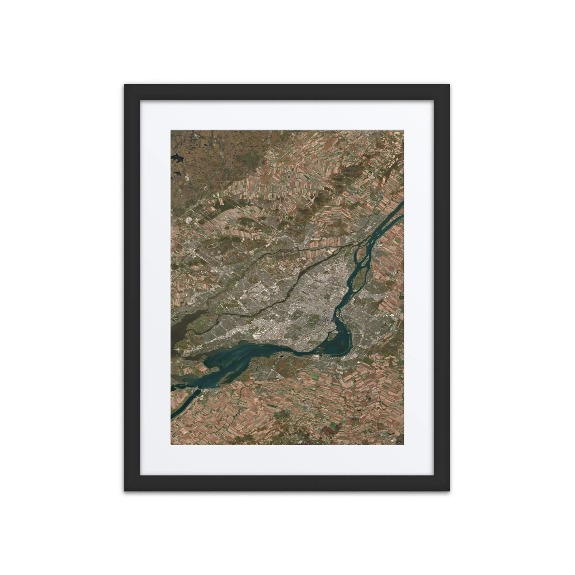 Image 1 of 3
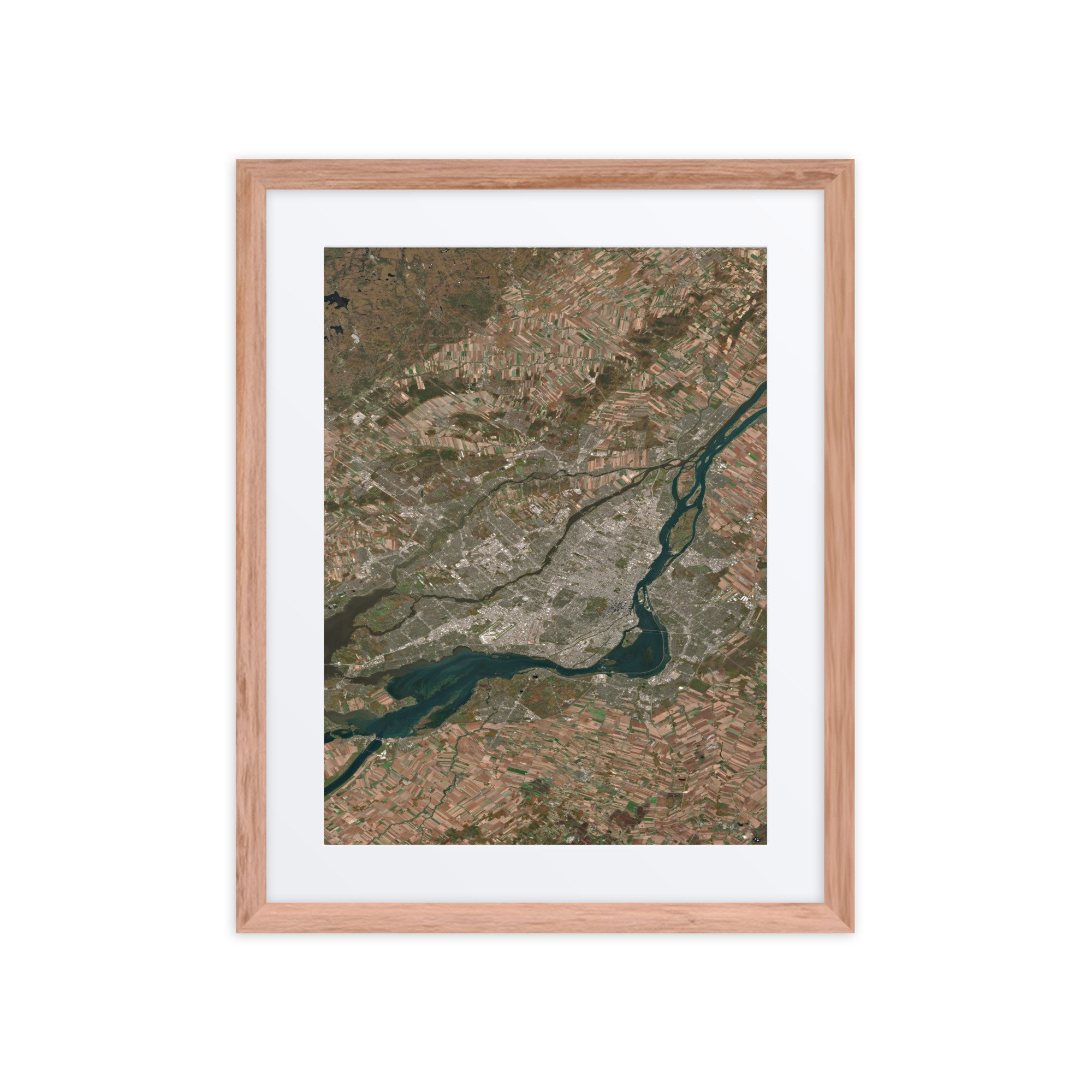 Image 2 of 3
 Image 3 of 3