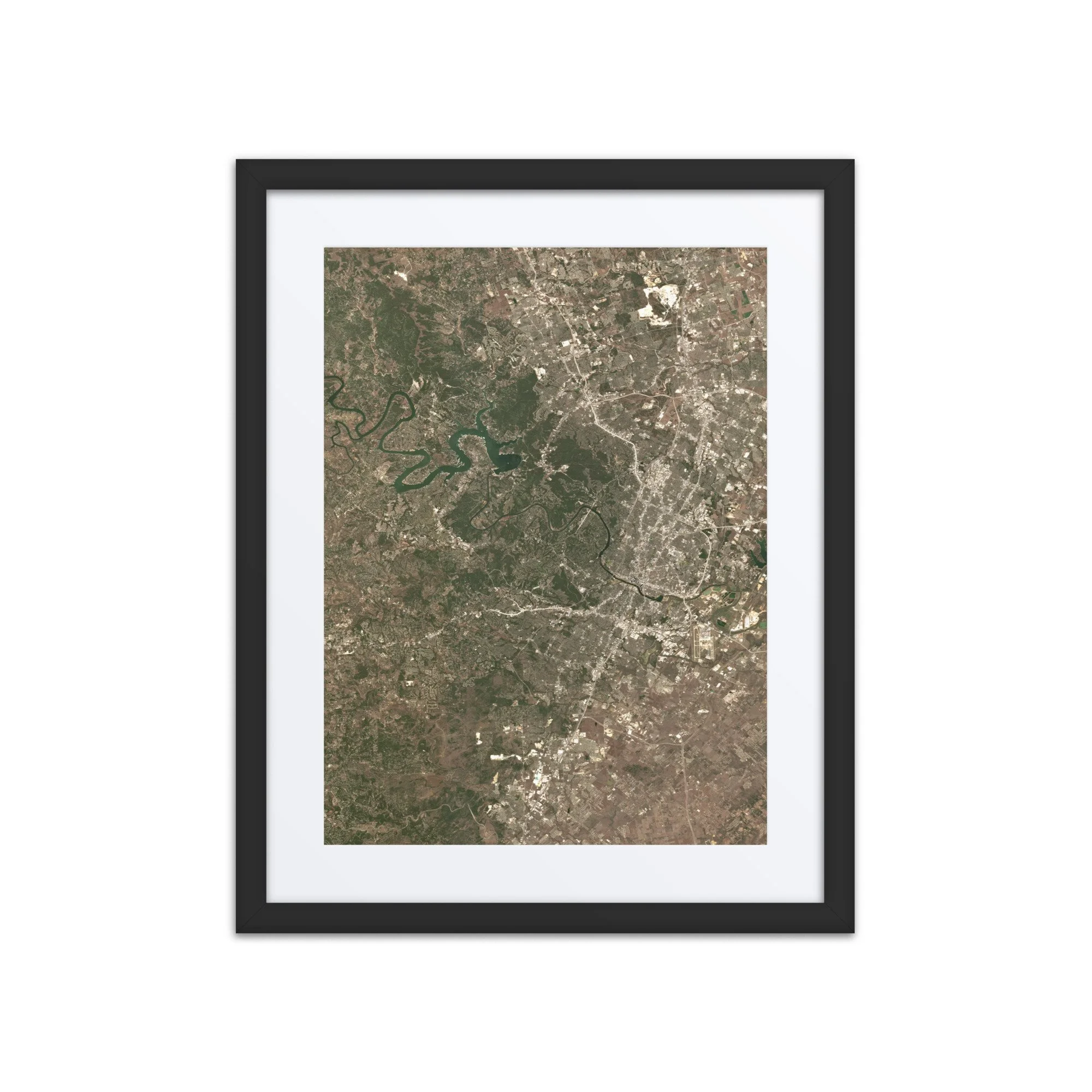
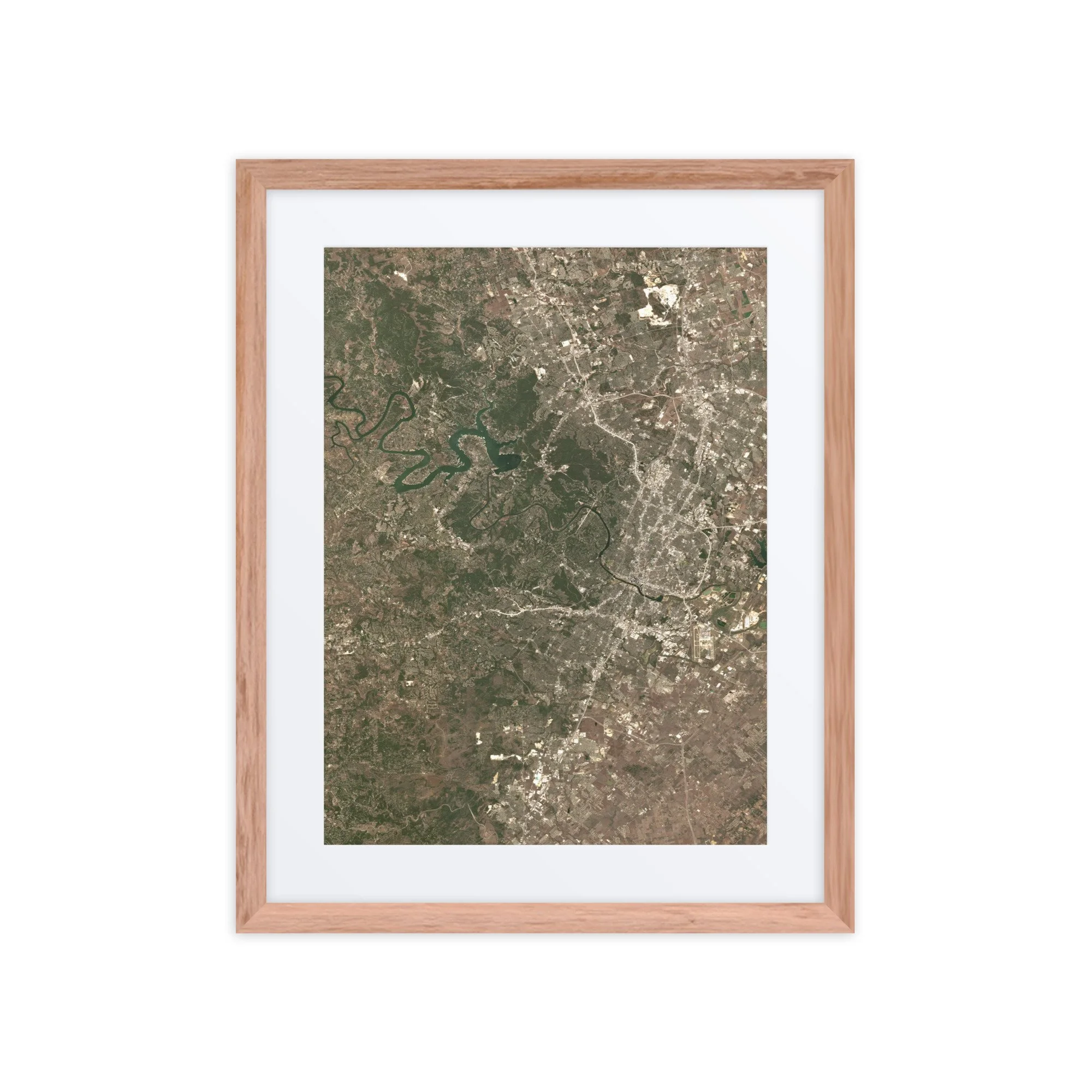
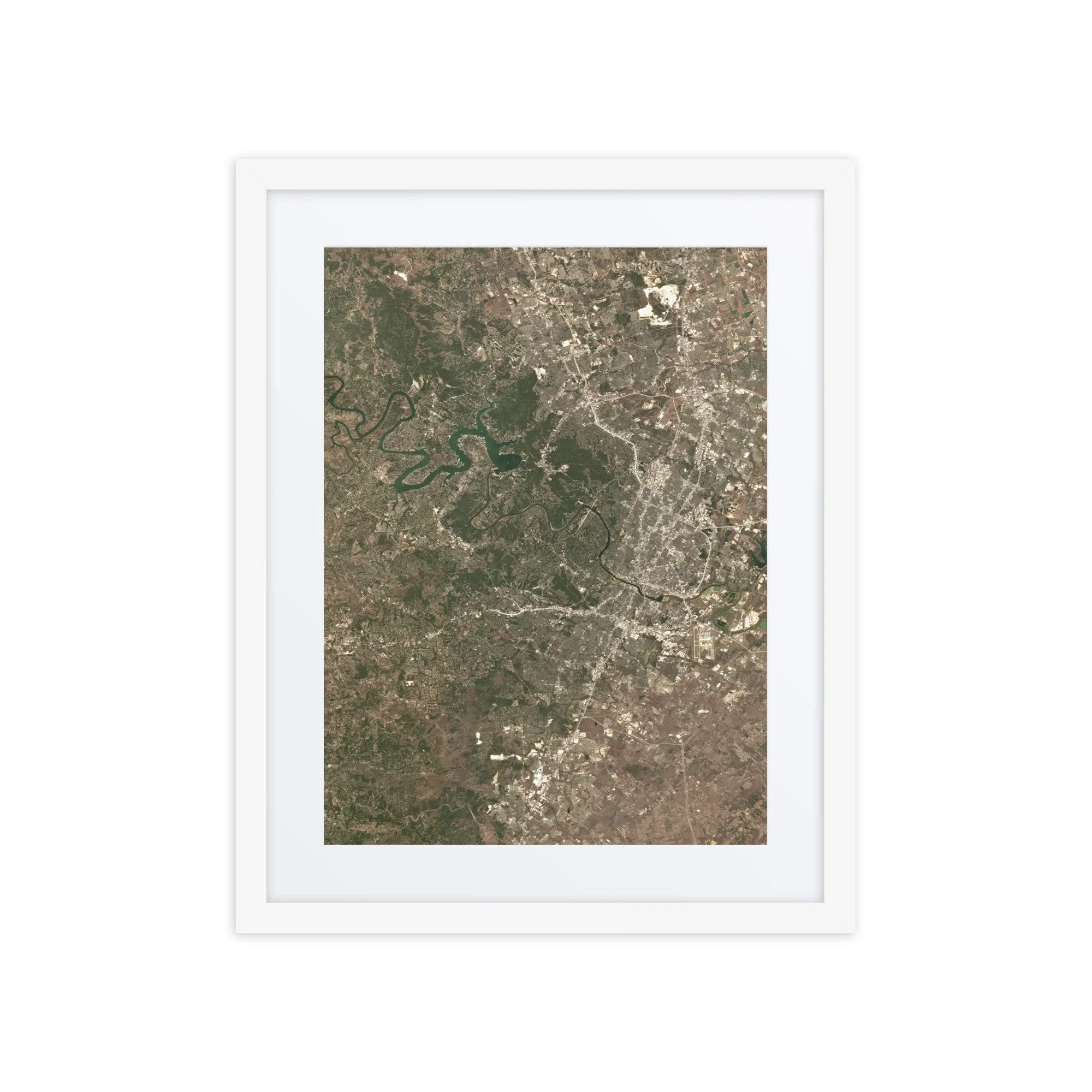
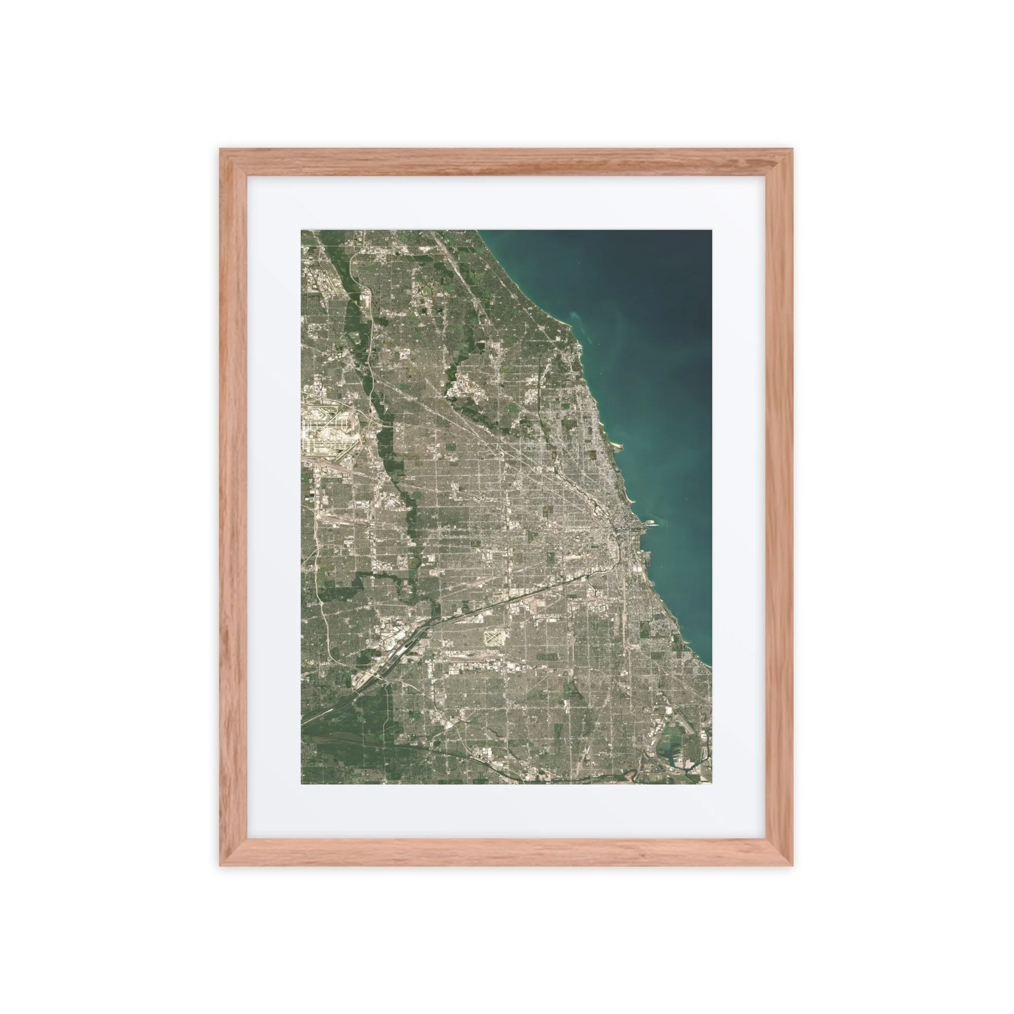
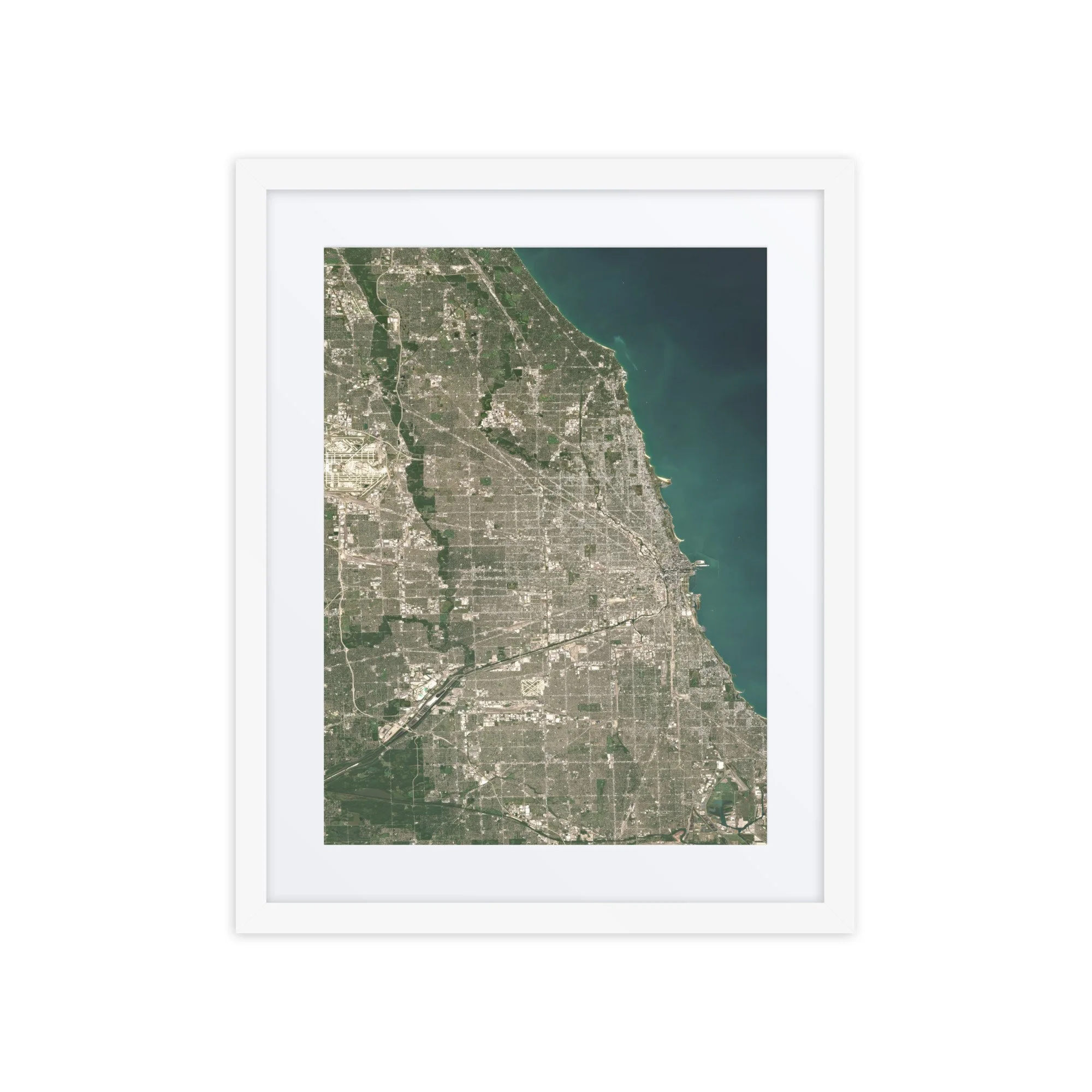
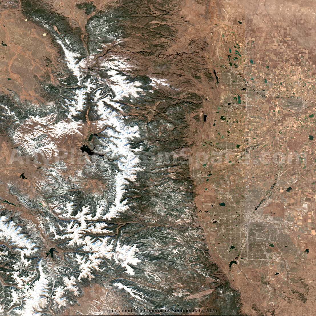
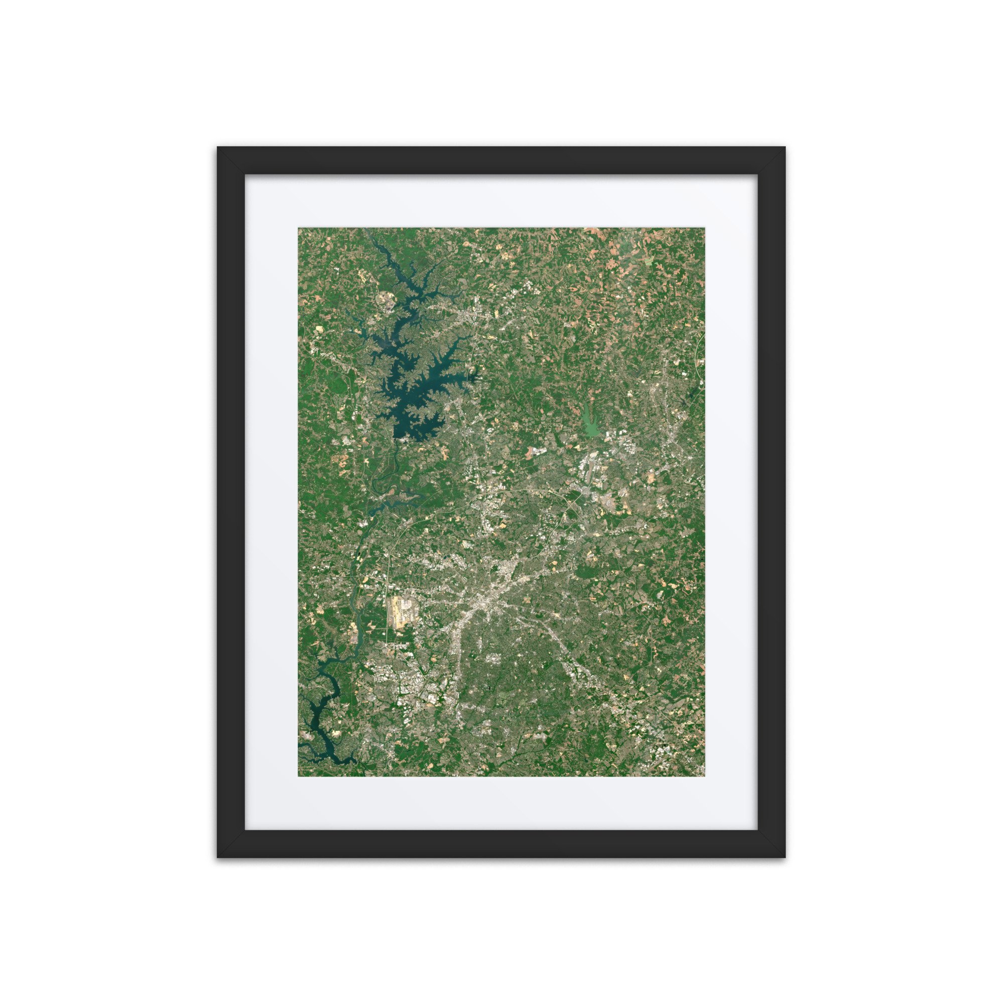
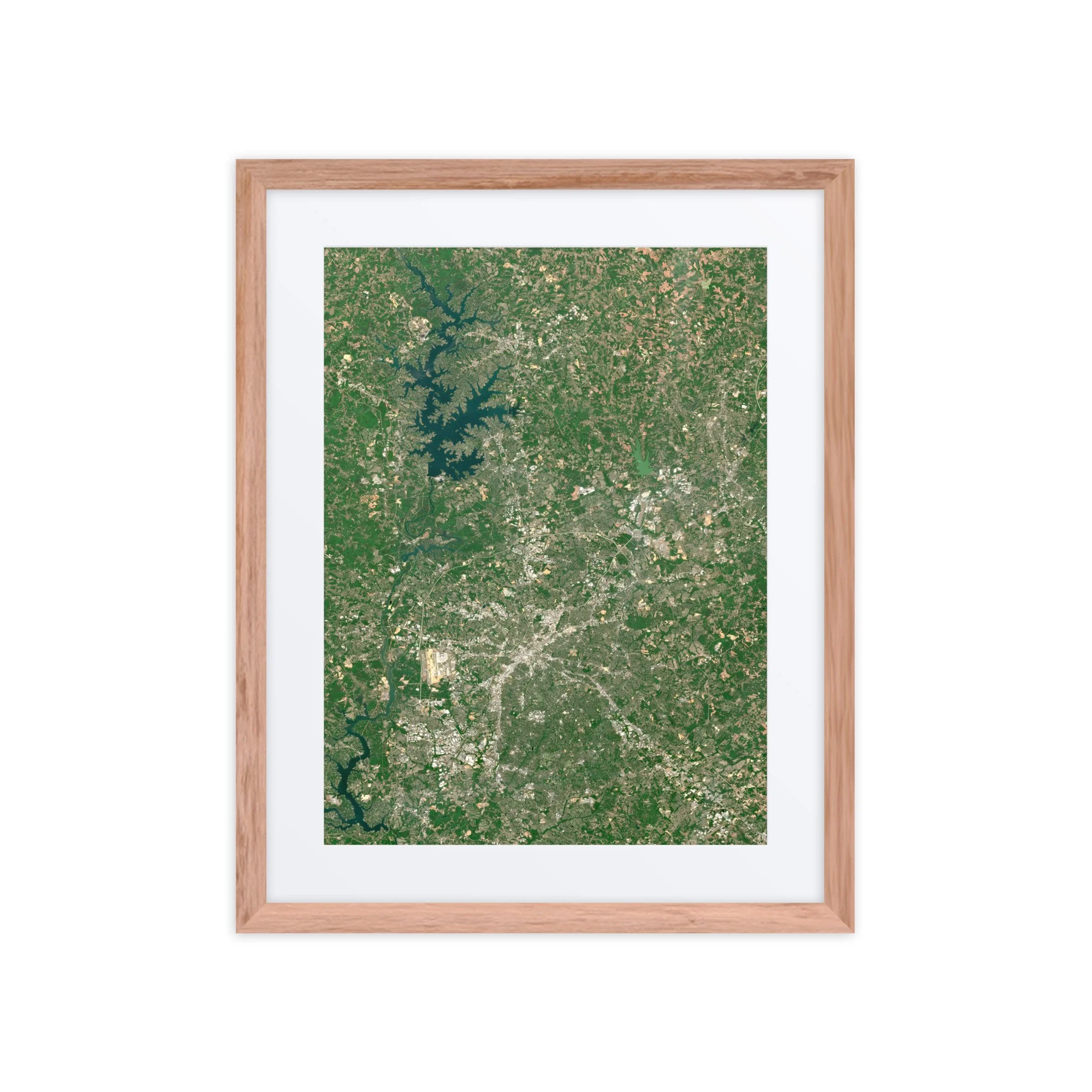
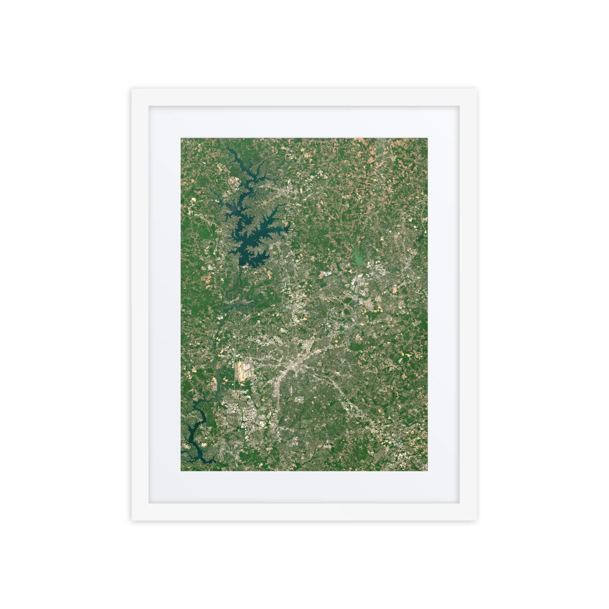
High-resolution satellite image showing Austin, Texas, captured on January 03, 2026.
Austin, Texas – January 3, 2026
This image showcases Austin on January 3, 2026. Visible features include the winding Colorado River, the Highland Lakes system, and the expanding urban footprint of one of the fastest-growing cities in the United States.
At the heart of the image, the Colorado River snakes through Austin in a series of dramatic bends, forming Lake Austin and Lady Bird Lake, which cut directly through the city. To the northwest, the river expands into the larger Lake Travis, a highly branched reservoir with intricate shoreline patterns that stand out vividly from space.
The dense urban core of Austin appears as a bright, textured grid, gradually transitioning into suburban development and surrounding rural landscapes. To the east, agricultural fields form a patchwork of browns and muted greens, reflecting winter conditions across Central Texas. To the west, the terrain becomes more rugged and forested, marking the beginning of the Texas Hill Country.
Also visible is Austin-Bergstrom International Airport, whose long runways and geometric layout contrast sharply with the organic curves of the river system.
Captured during winter, the landscape displays more subdued vegetation tones, allowing the natural geography—especially the river and reservoirs—to stand out prominently. The combination of water, city, and terrain creates a dynamic and visually striking composition.
Captured from orbit using modified Copernicus Sentinel-2 data 2026, this high-resolution satellite image highlights Austin’s unique blend of natural beauty and rapid urban growth.
High-resolution satellite image showing Austin, Texas, captured on January 03, 2026.
Austin, Texas – January 3, 2026
This image showcases Austin on January 3, 2026. Visible features include the winding Colorado River, the Highland Lakes system, and the expanding urban footprint of one of the fastest-growing cities in the United States.
At the heart of the image, the Colorado River snakes through Austin in a series of dramatic bends, forming Lake Austin and Lady Bird Lake, which cut directly through the city. To the northwest, the river expands into the larger Lake Travis, a highly branched reservoir with intricate shoreline patterns that stand out vividly from space.
The dense urban core of Austin appears as a bright, textured grid, gradually transitioning into suburban development and surrounding rural landscapes. To the east, agricultural fields form a patchwork of browns and muted greens, reflecting winter conditions across Central Texas. To the west, the terrain becomes more rugged and forested, marking the beginning of the Texas Hill Country.
Also visible is Austin-Bergstrom International Airport, whose long runways and geometric layout contrast sharply with the organic curves of the river system.
Captured during winter, the landscape displays more subdued vegetation tones, allowing the natural geography—especially the river and reservoirs—to stand out prominently. The combination of water, city, and terrain creates a dynamic and visually striking composition.
Captured from orbit using modified Copernicus Sentinel-2 data 2026, this high-resolution satellite image highlights Austin’s unique blend of natural beauty and rapid urban growth.
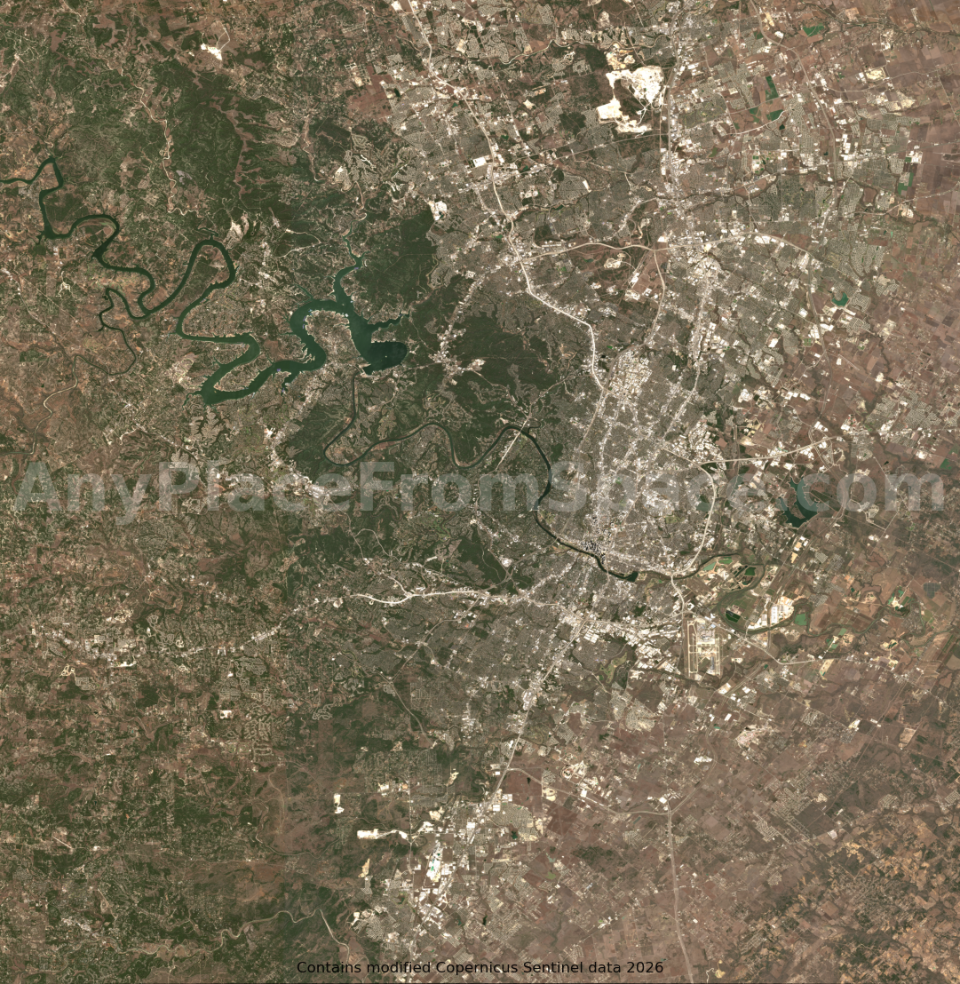 Image 1 of 1