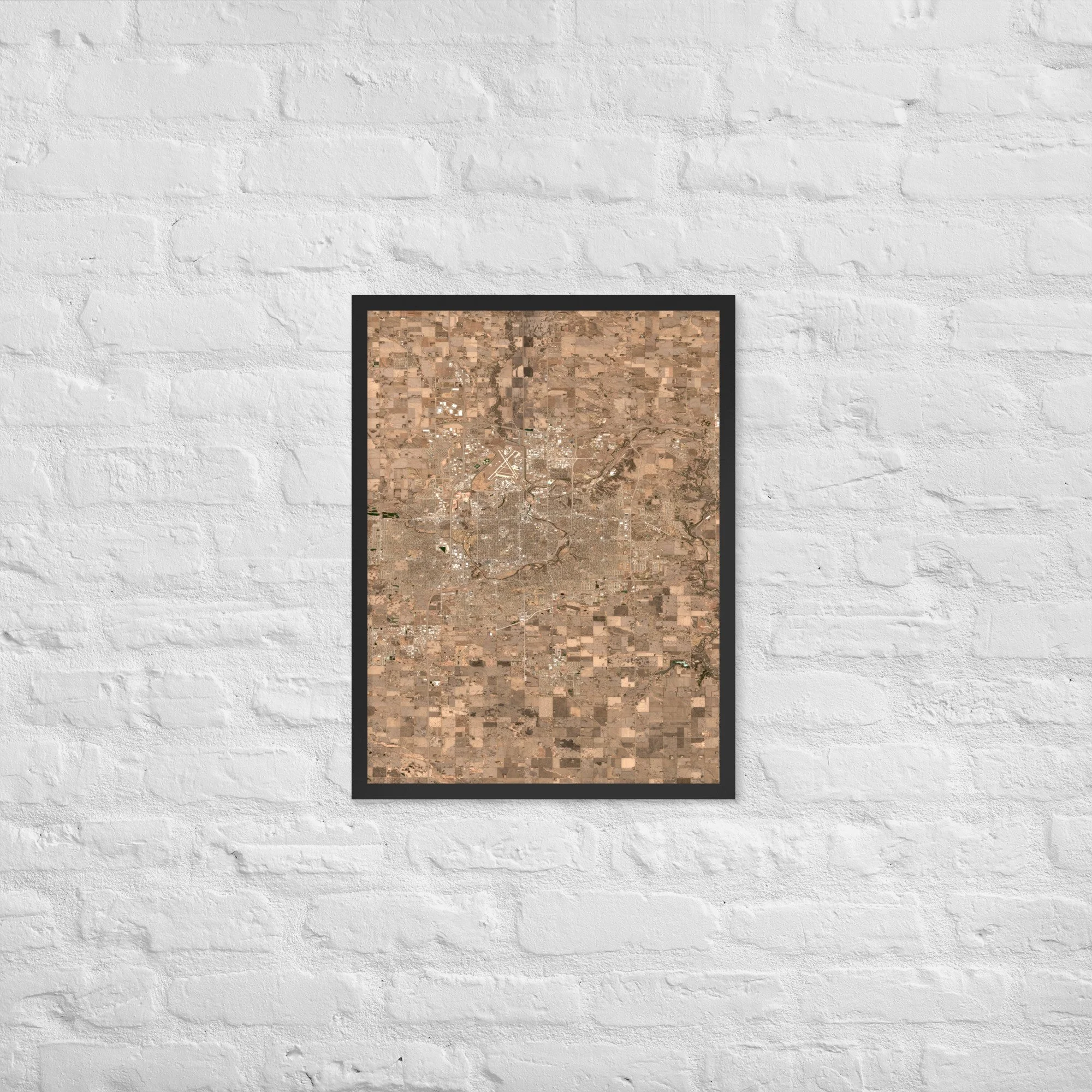
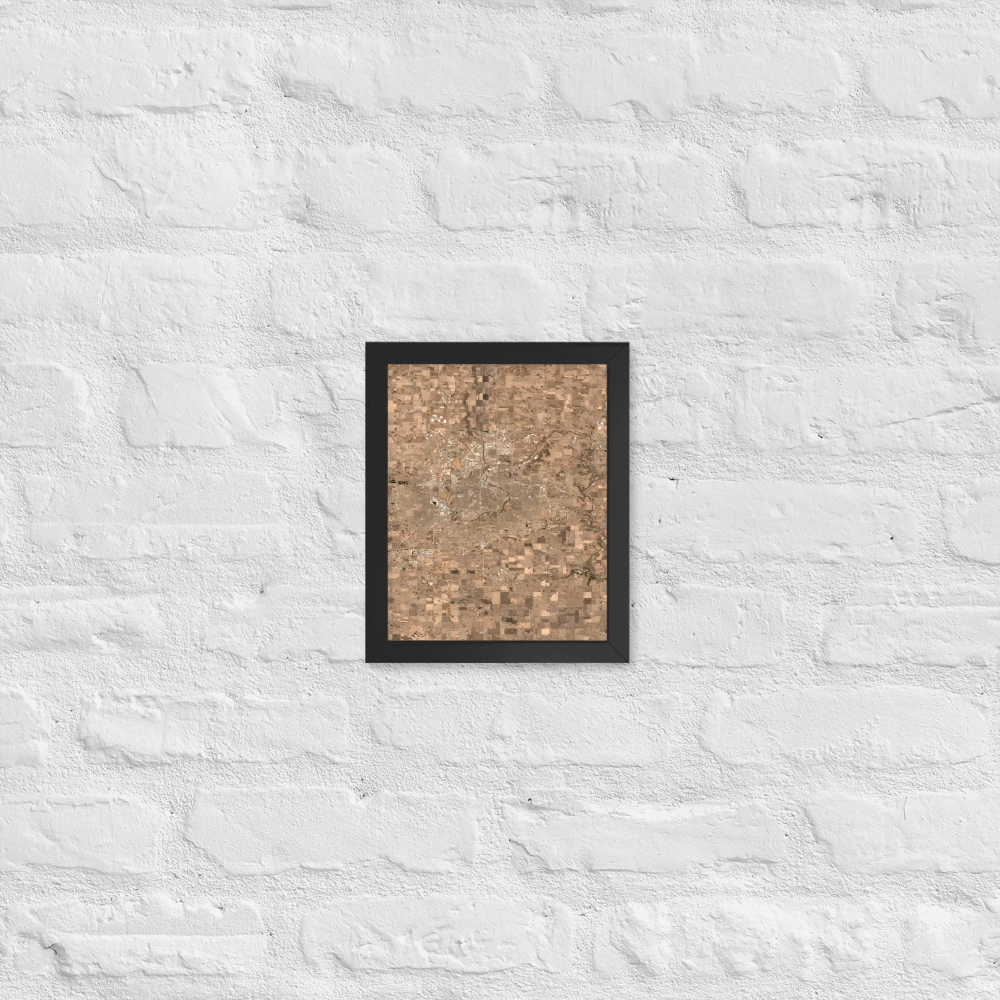
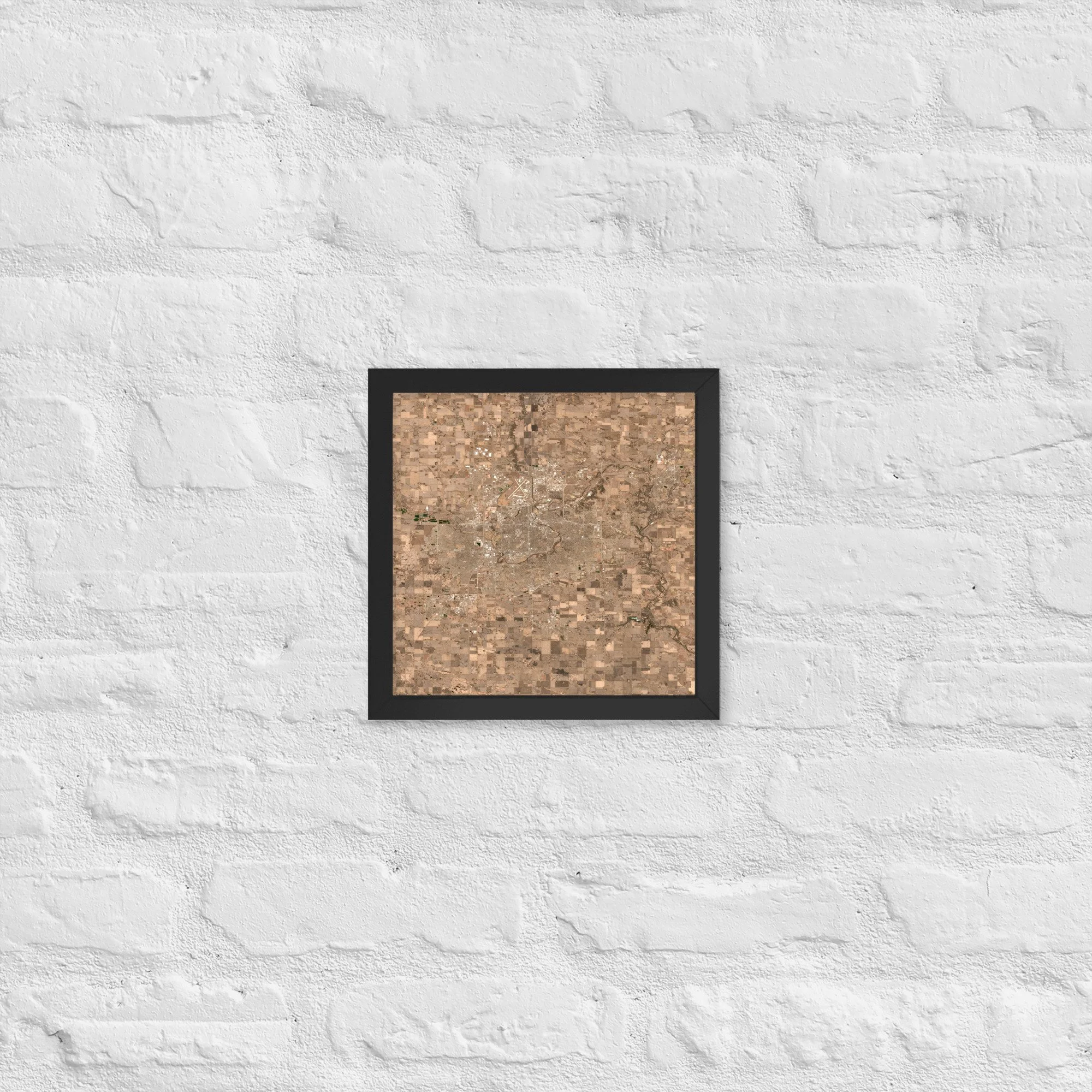
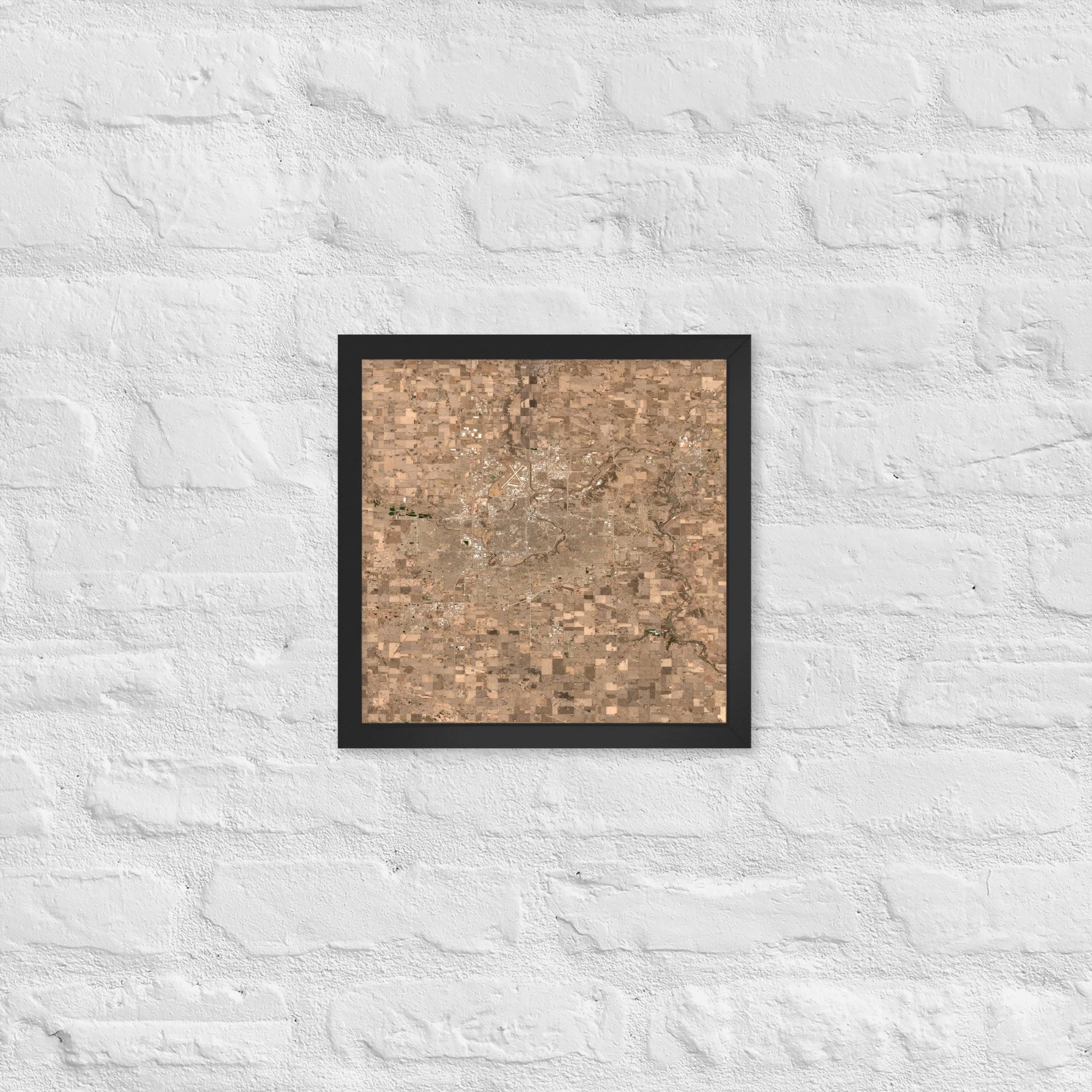
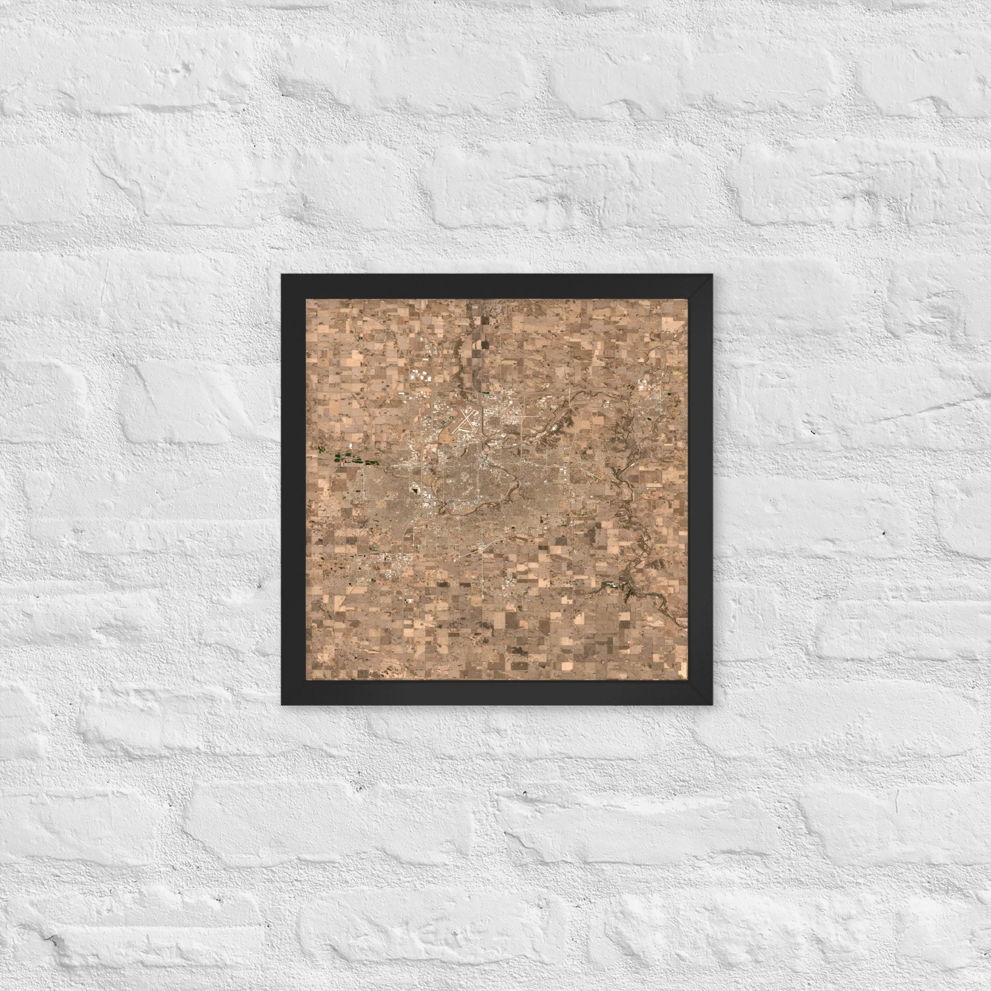
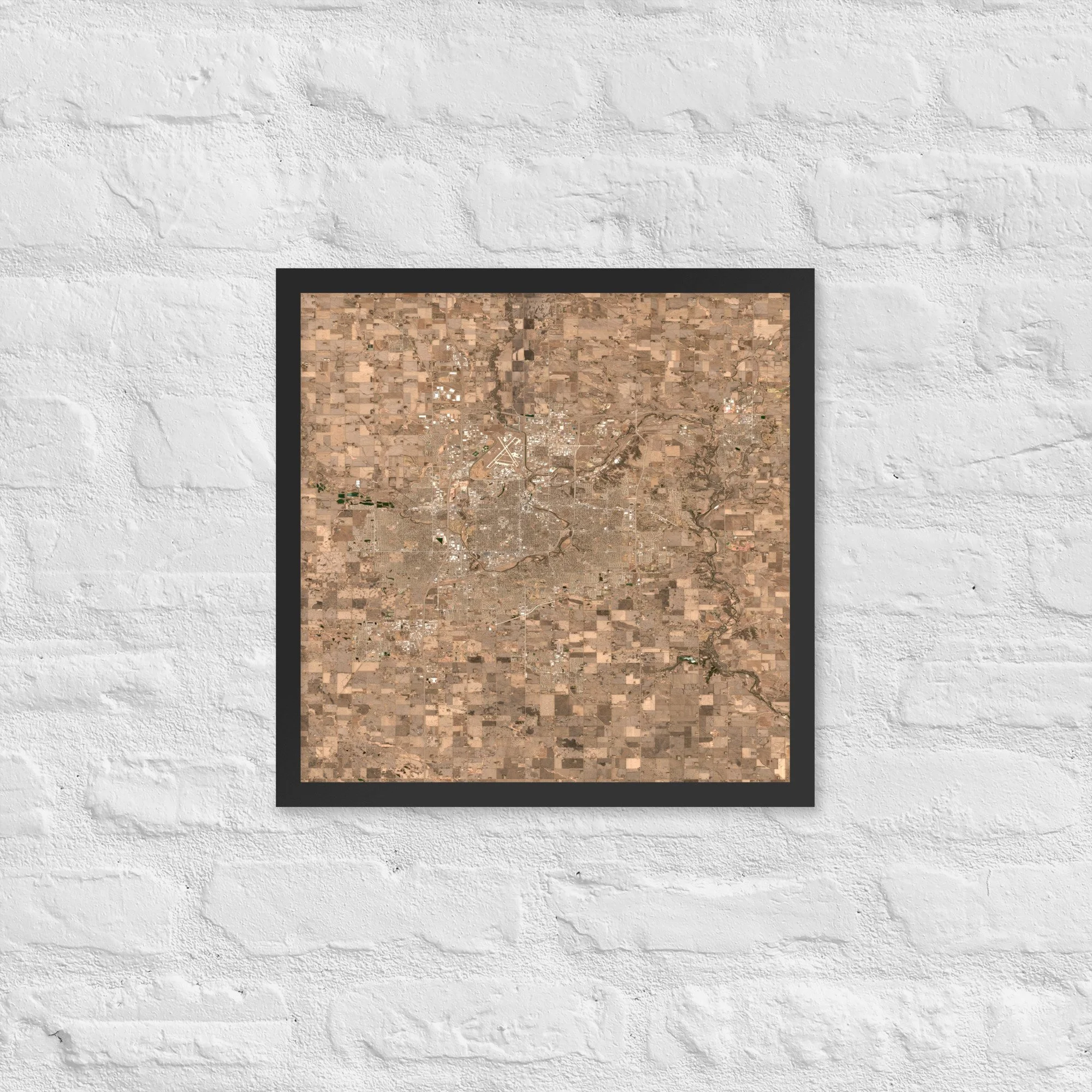
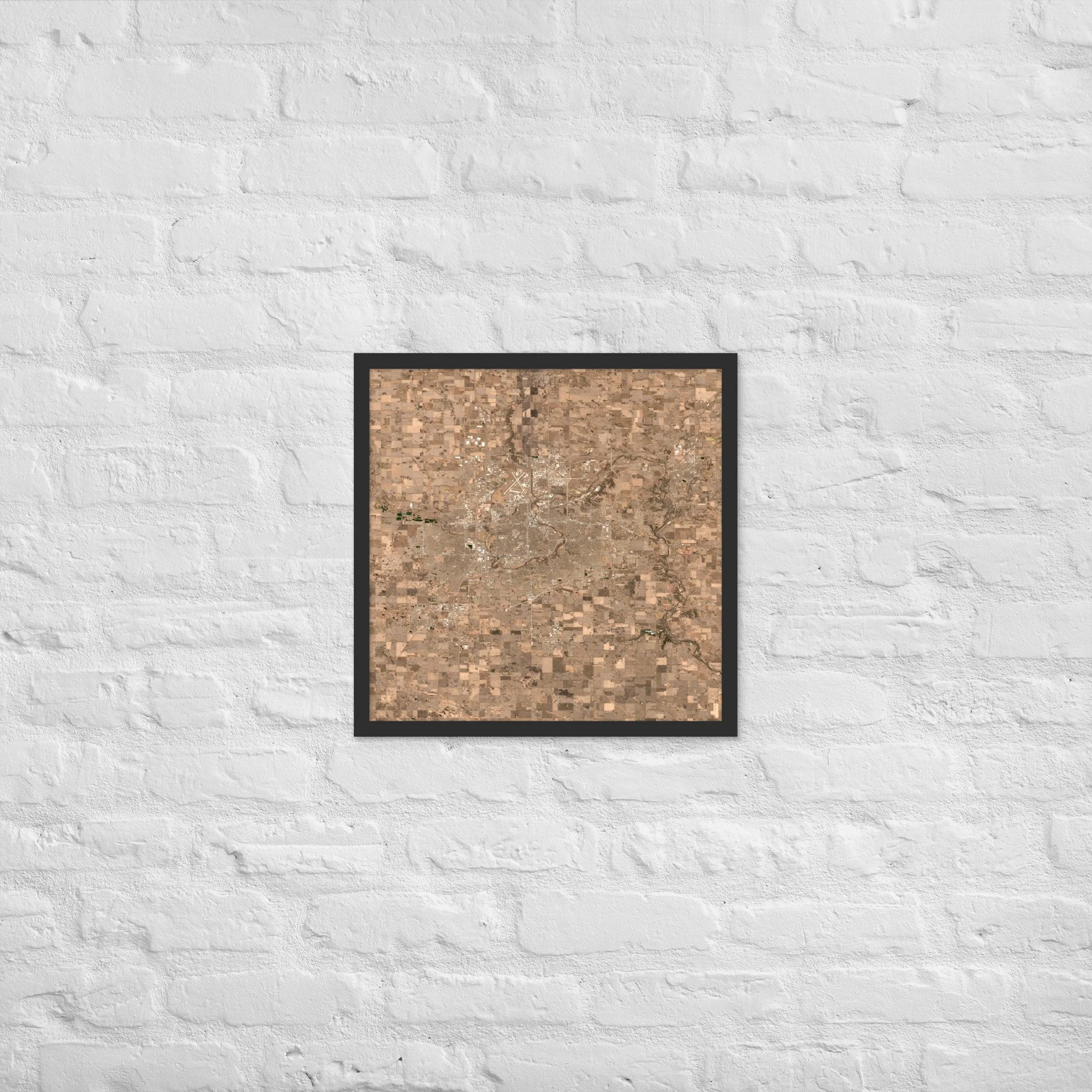
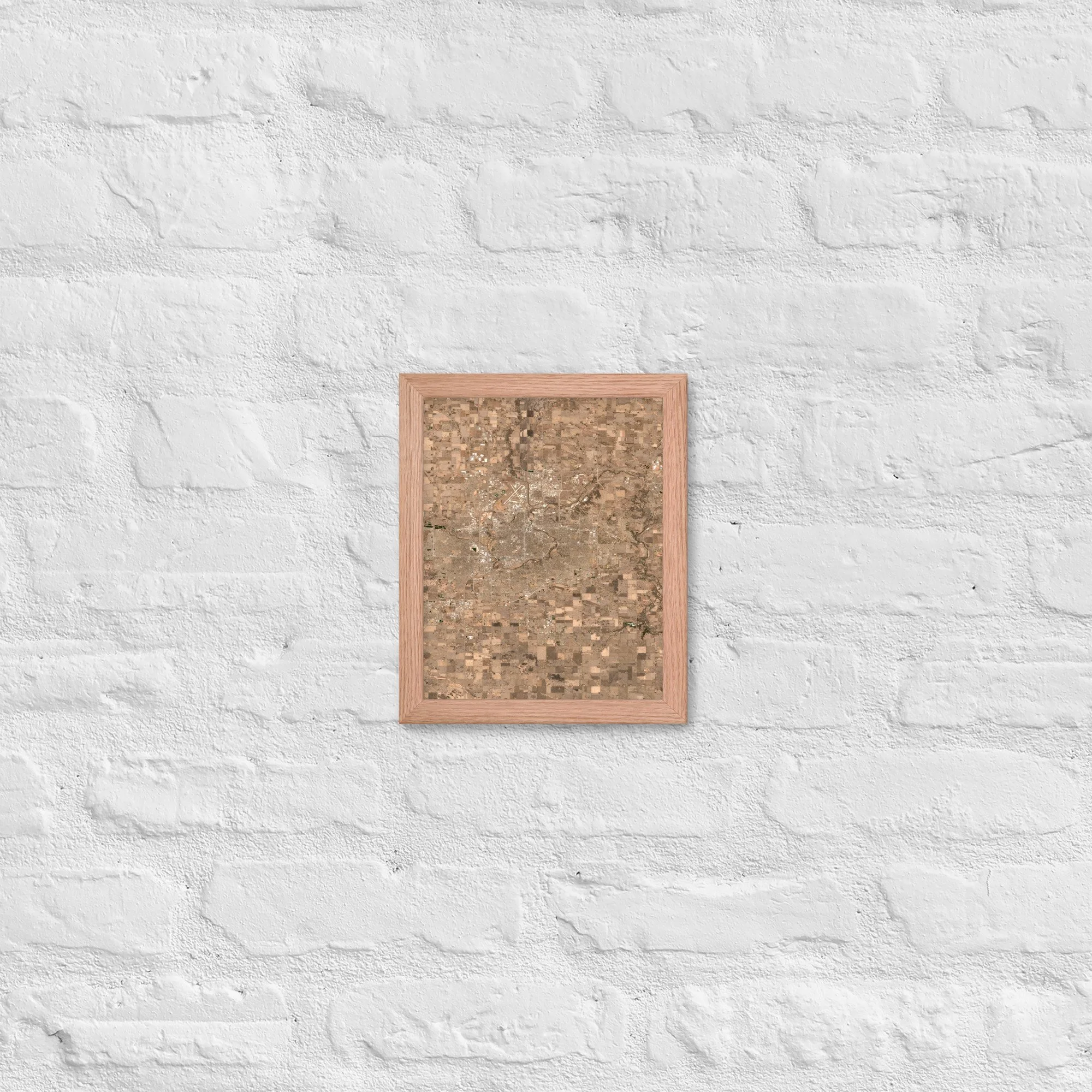
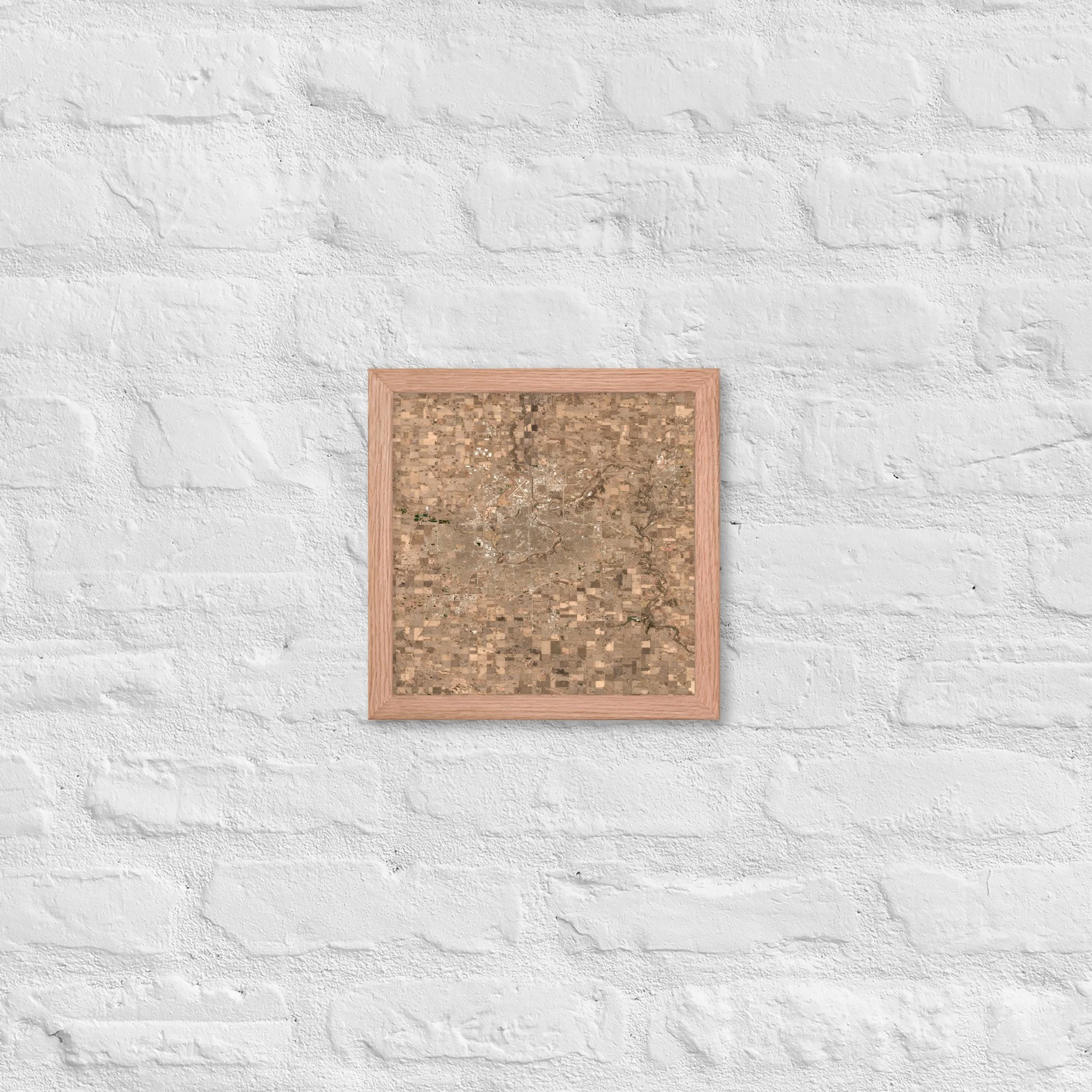
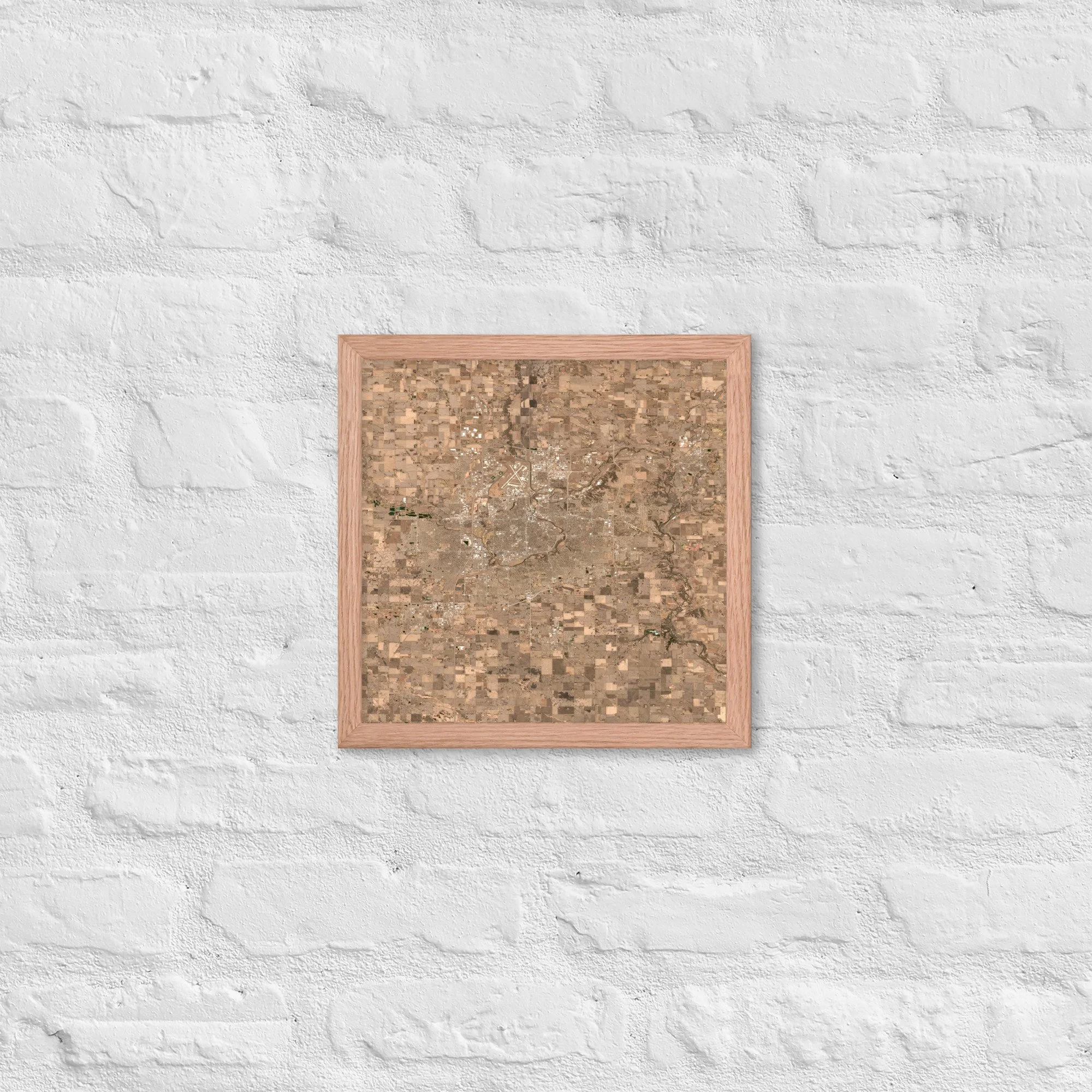
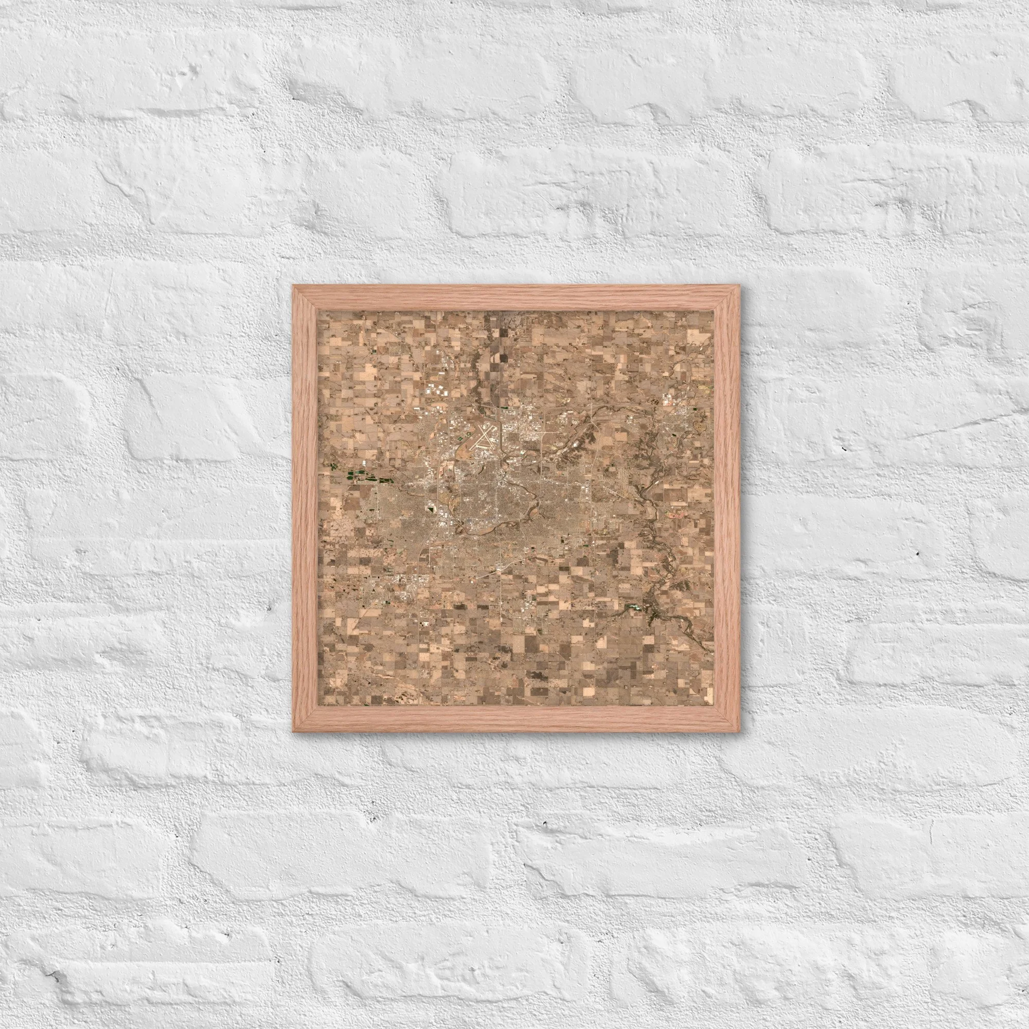
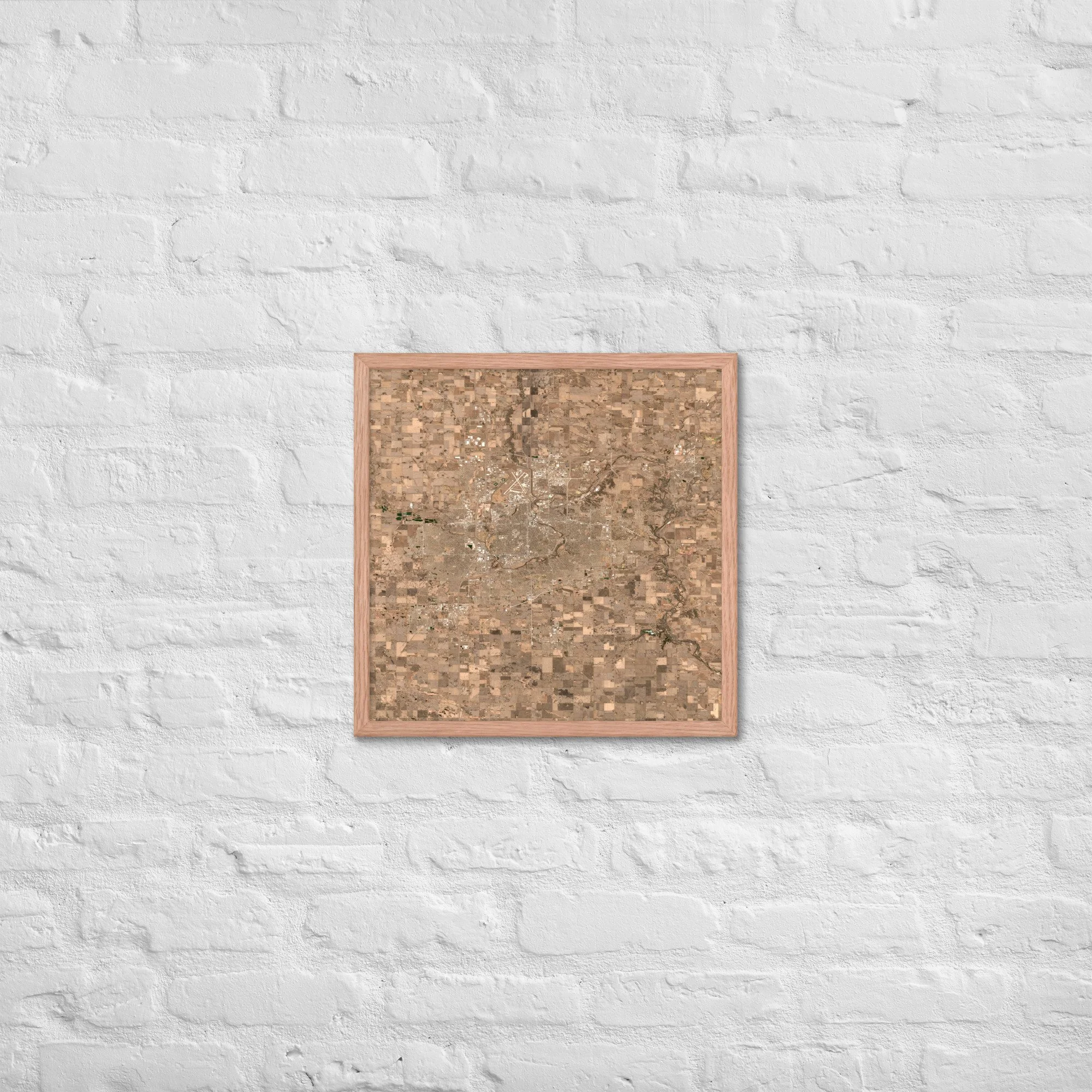
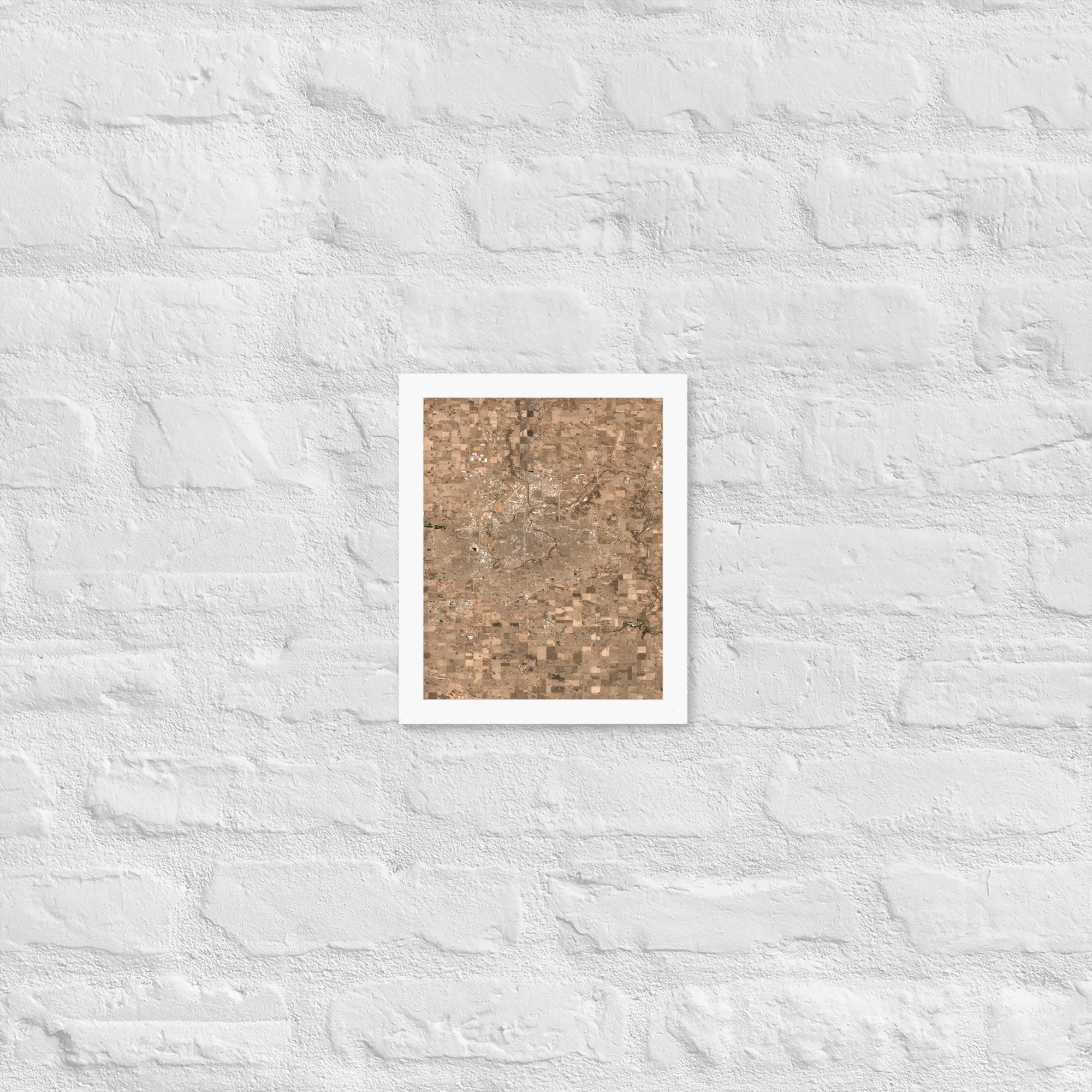
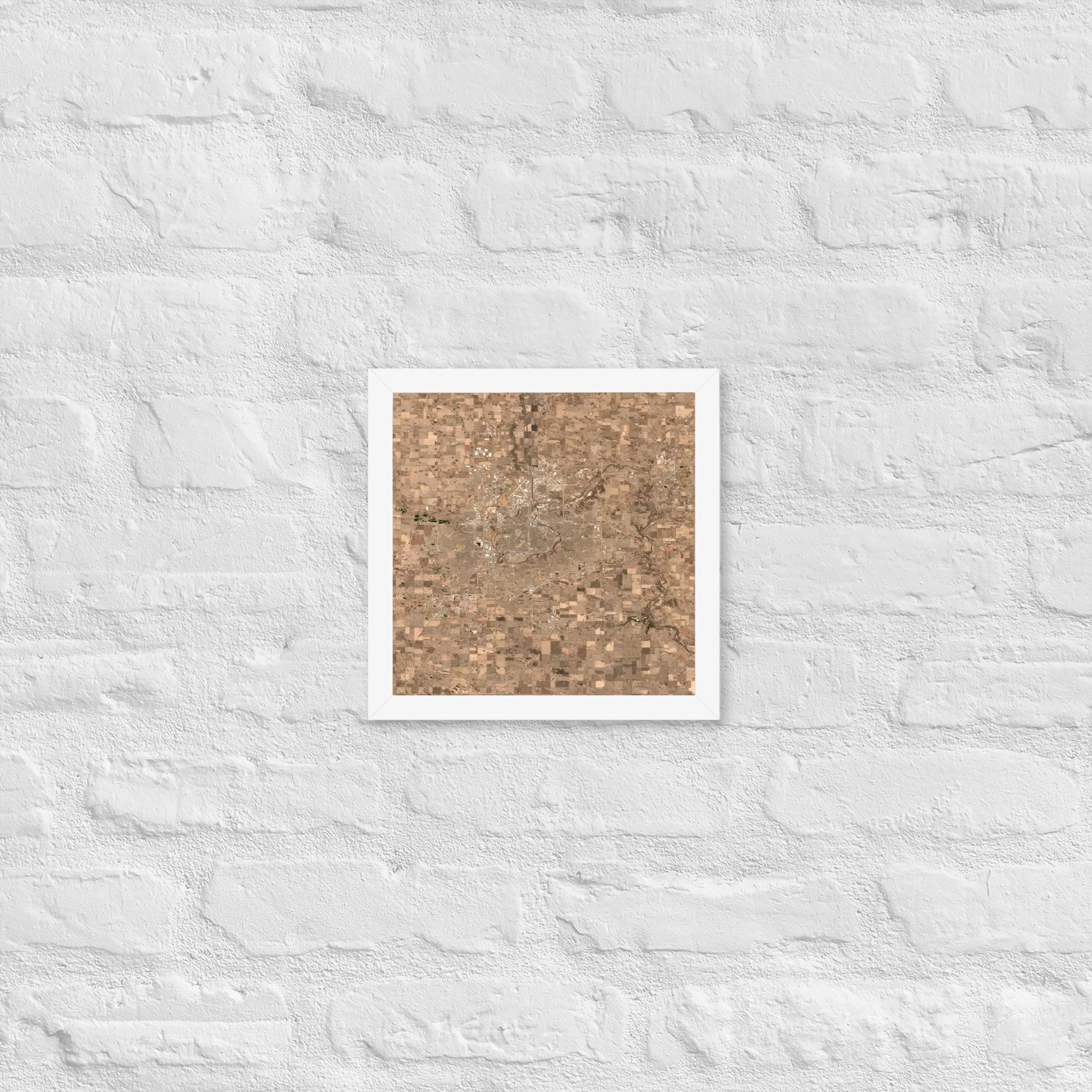
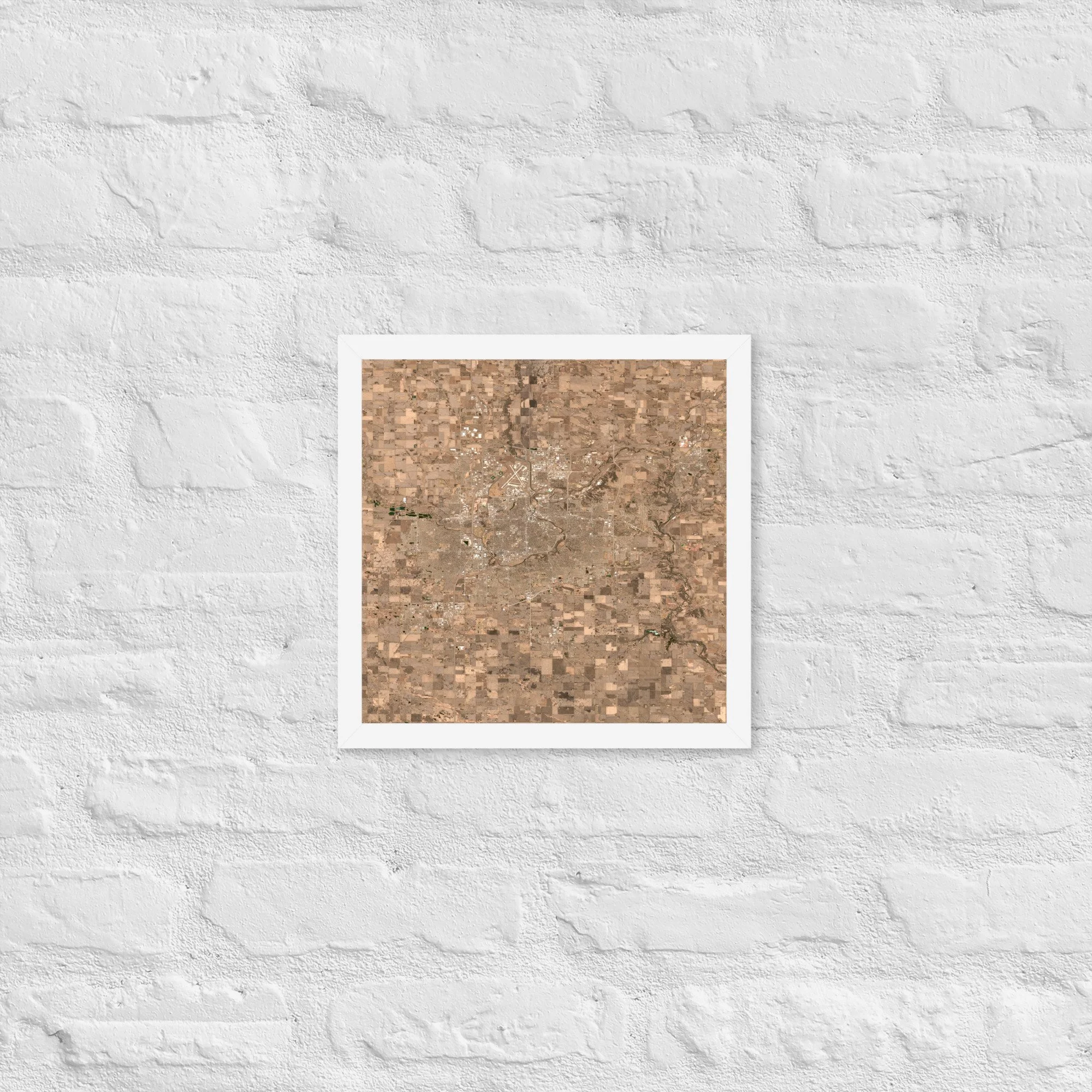
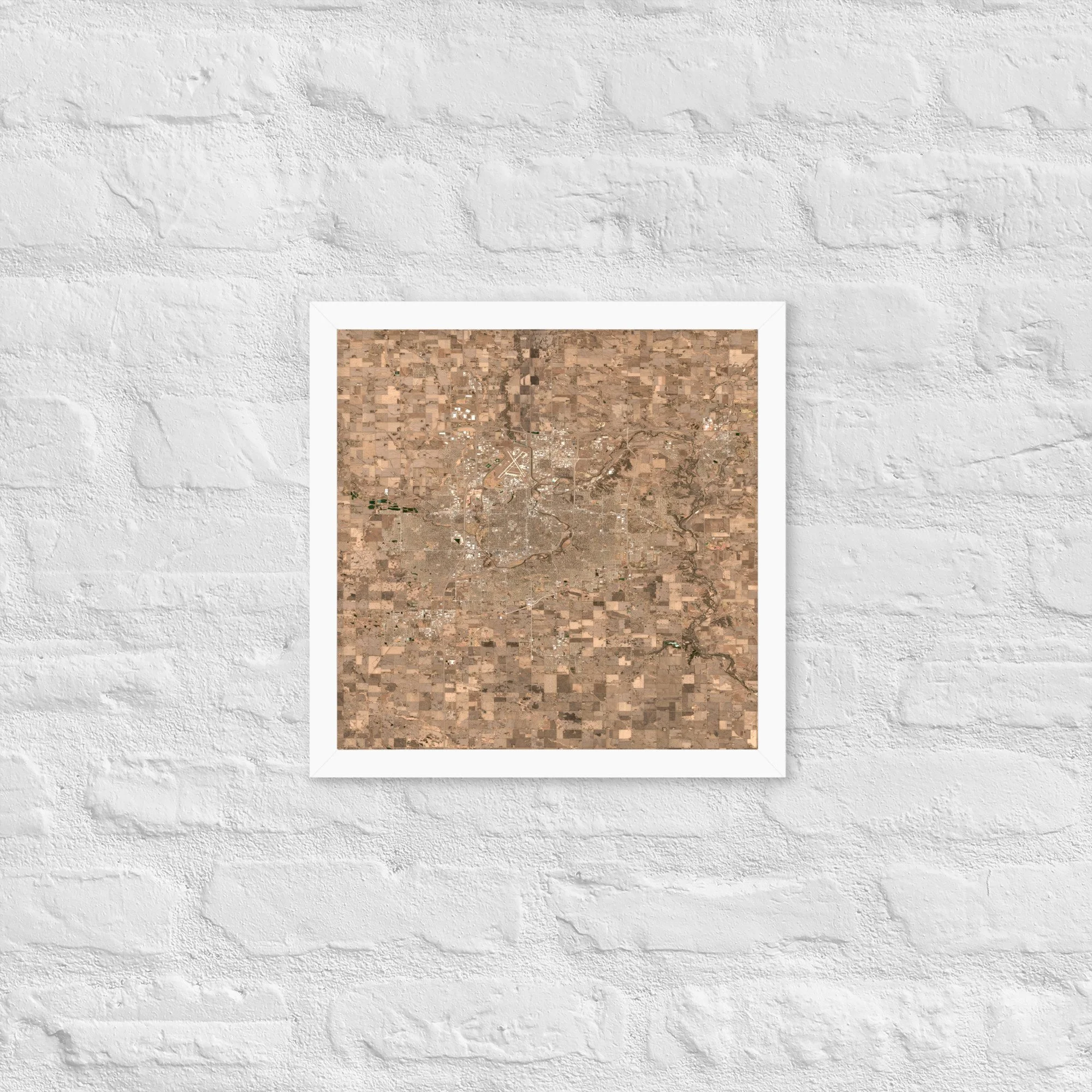
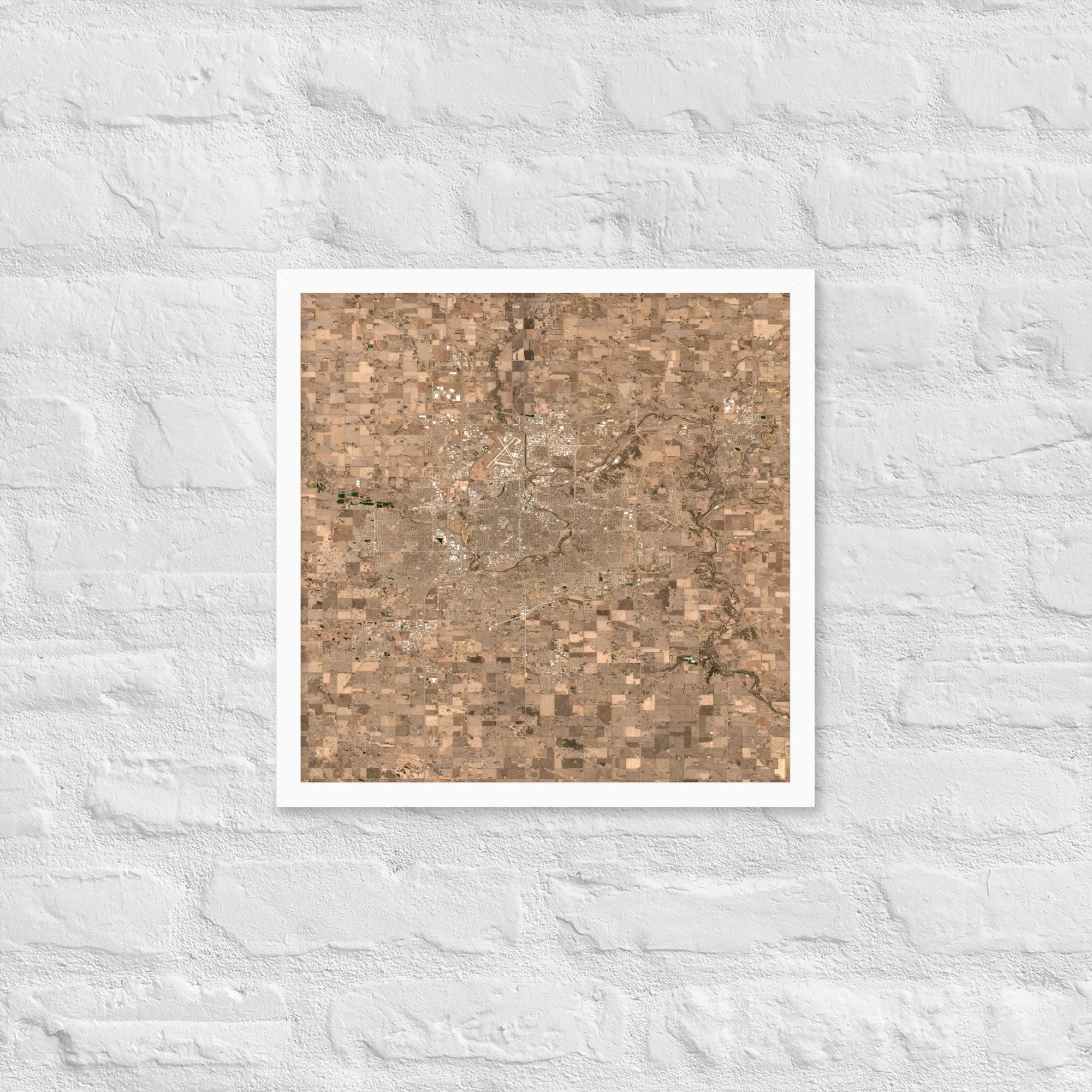
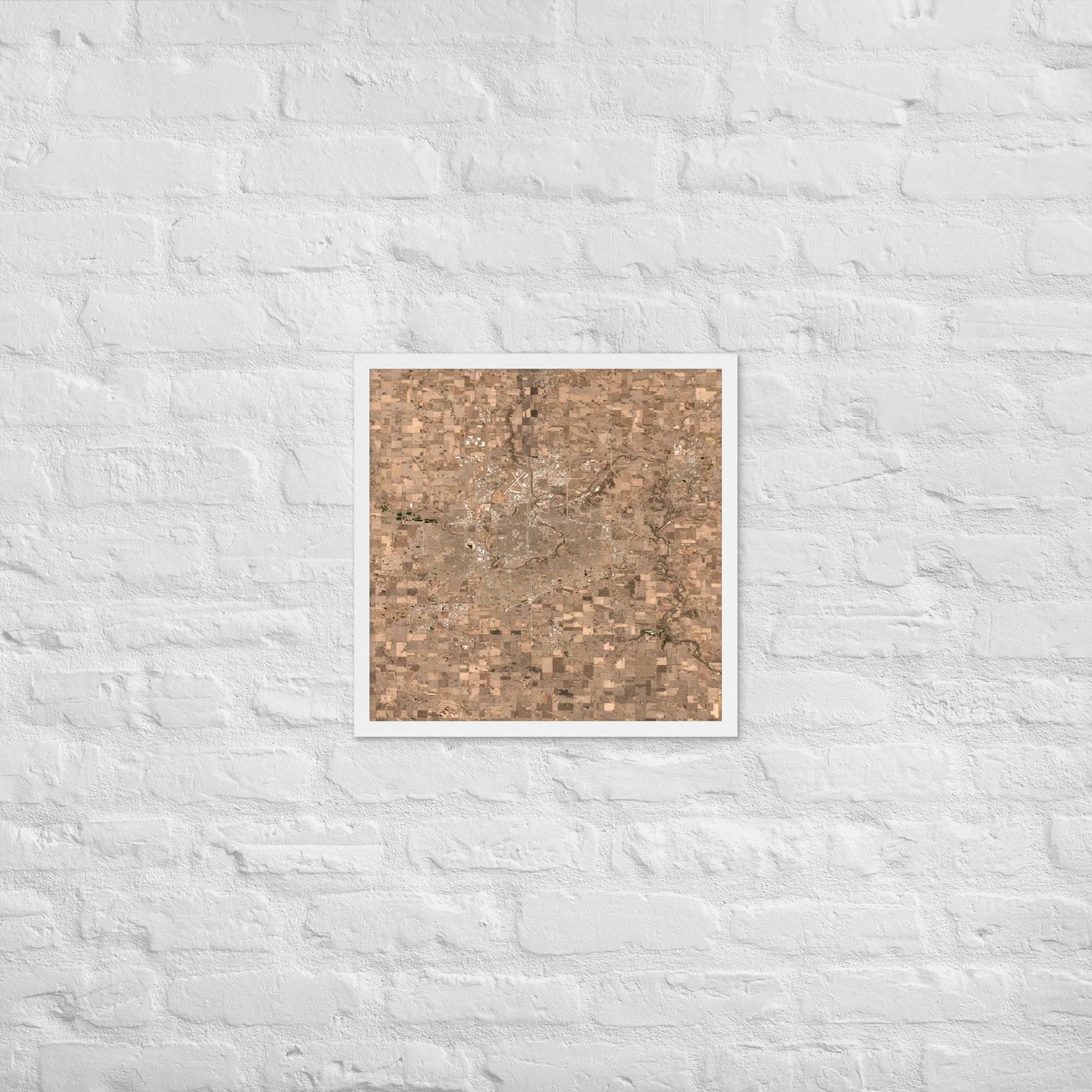
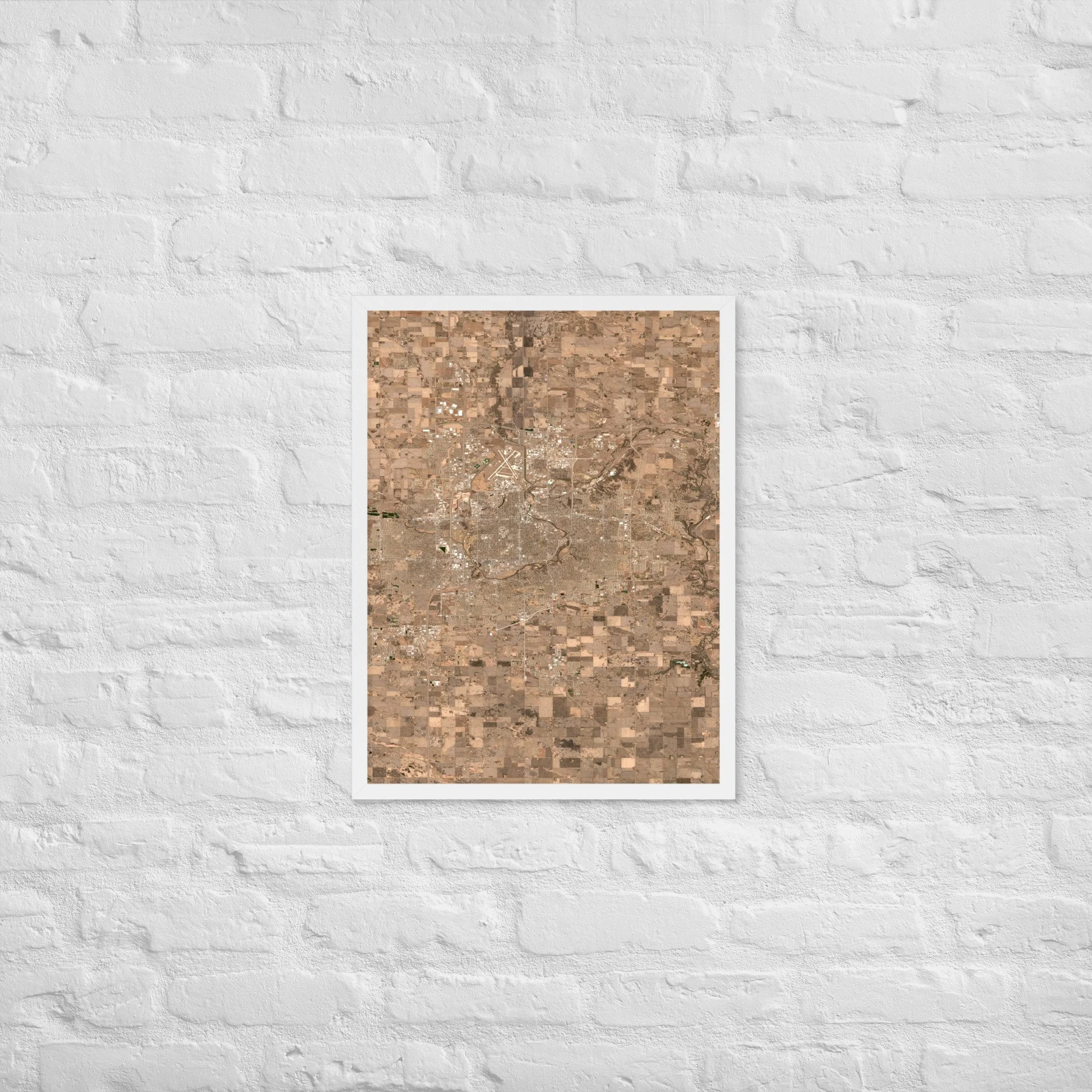
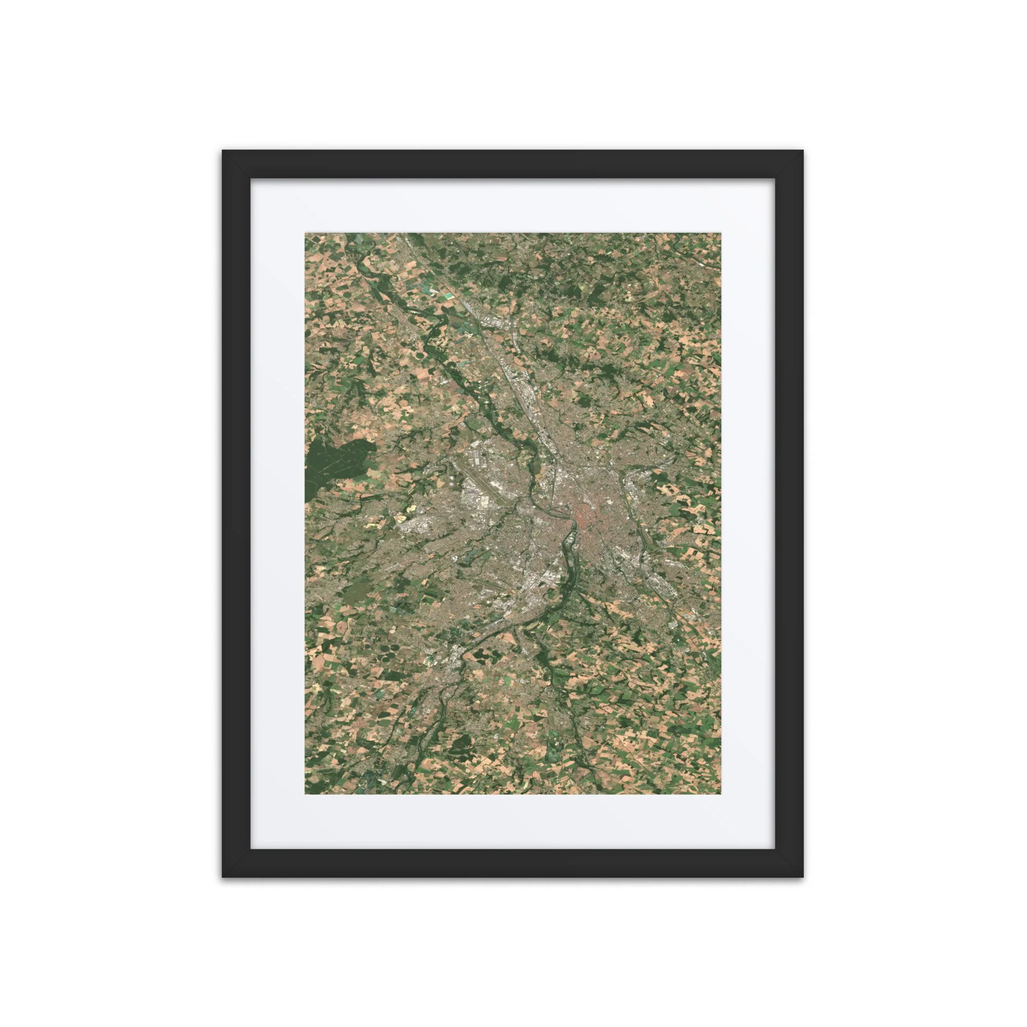
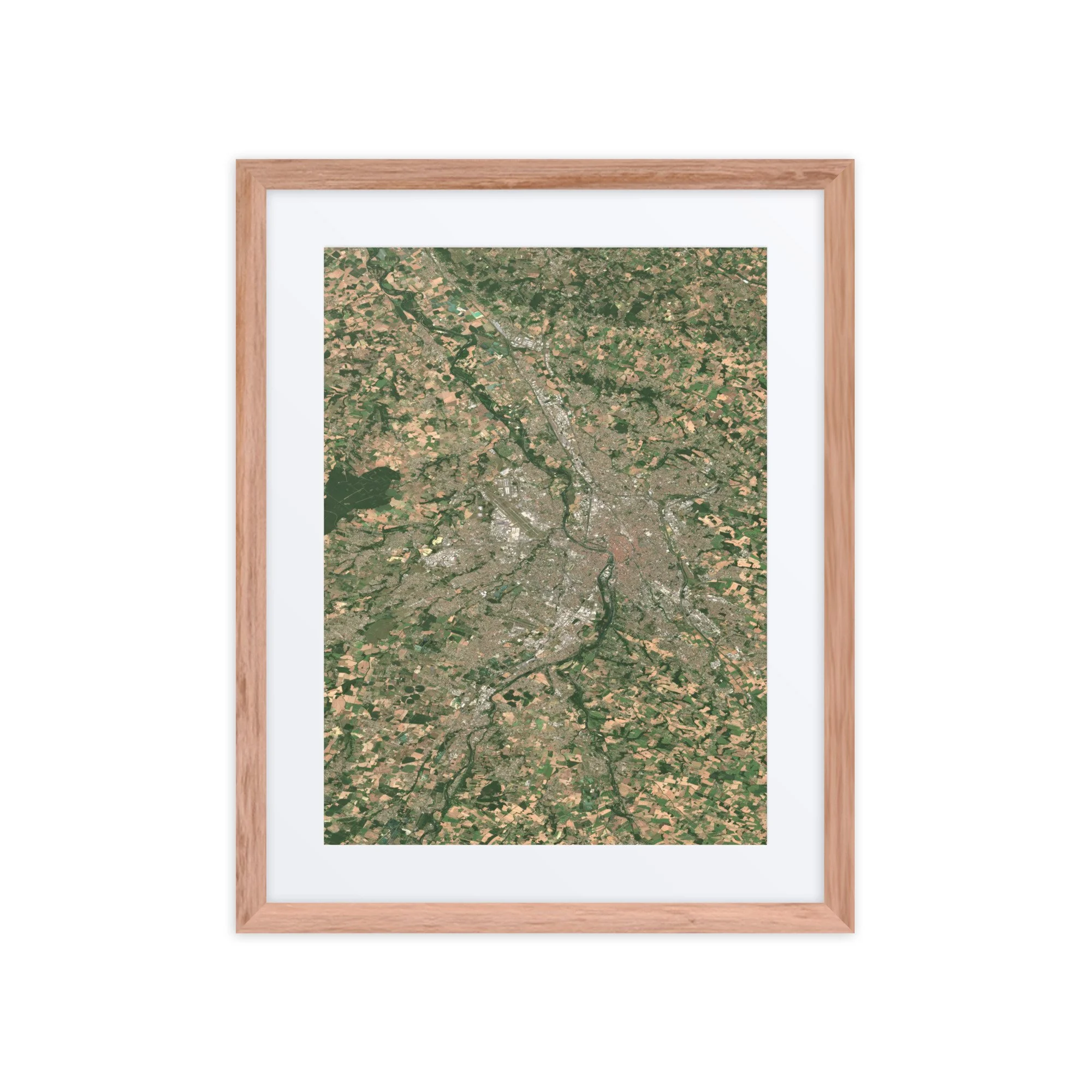
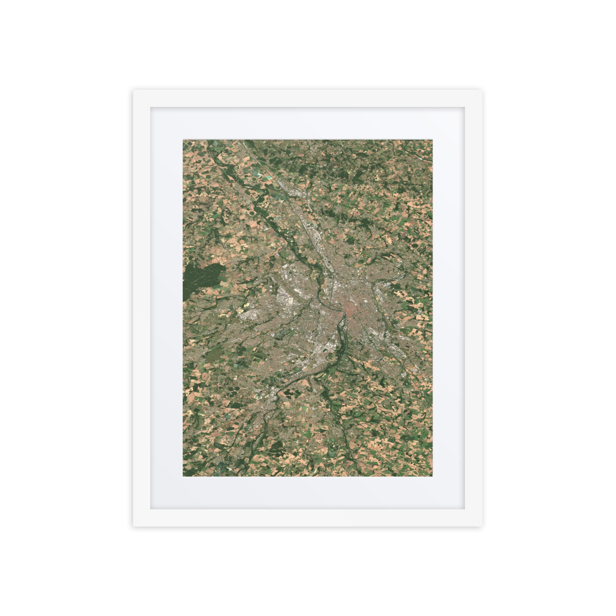
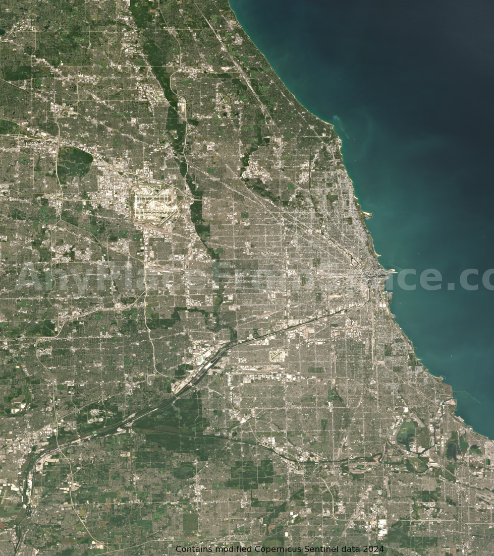
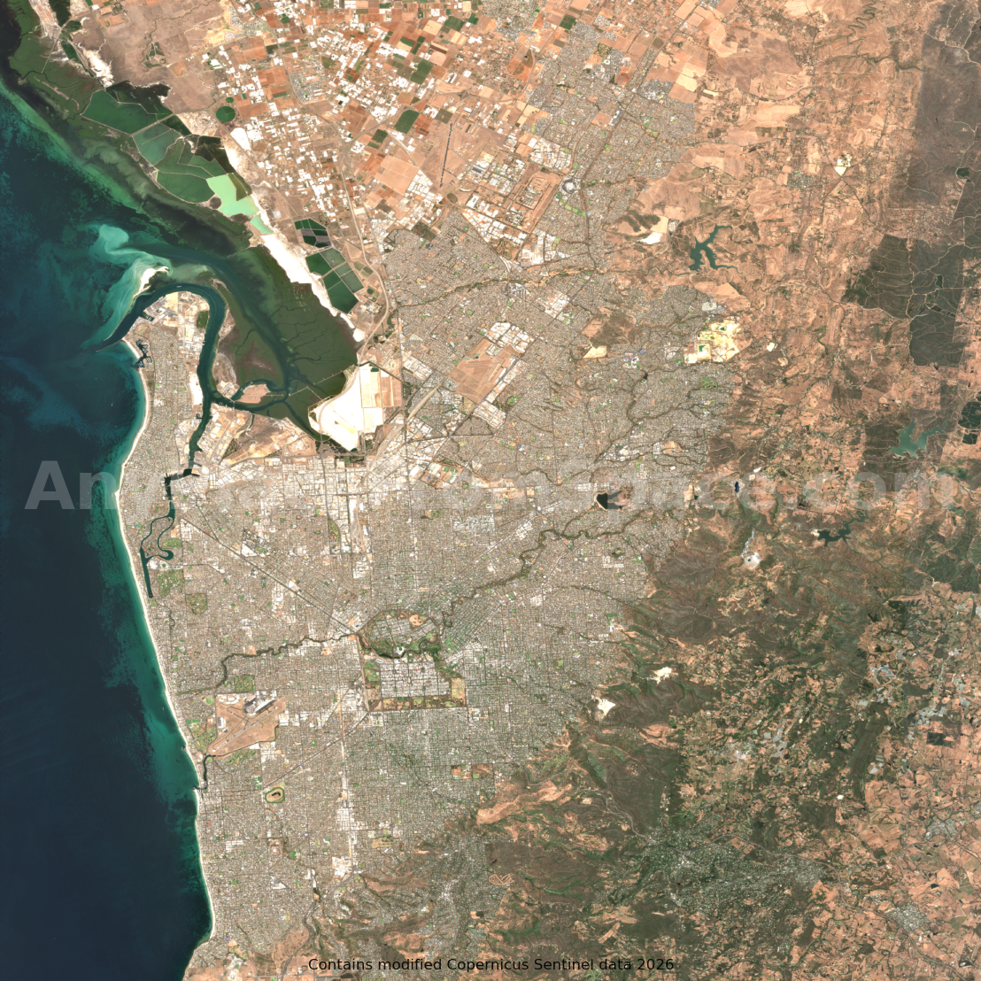
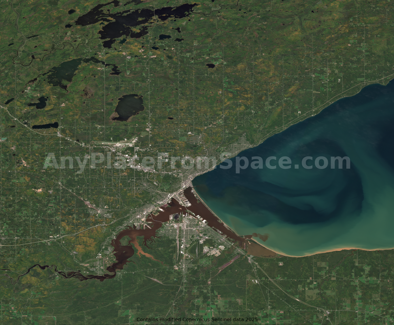
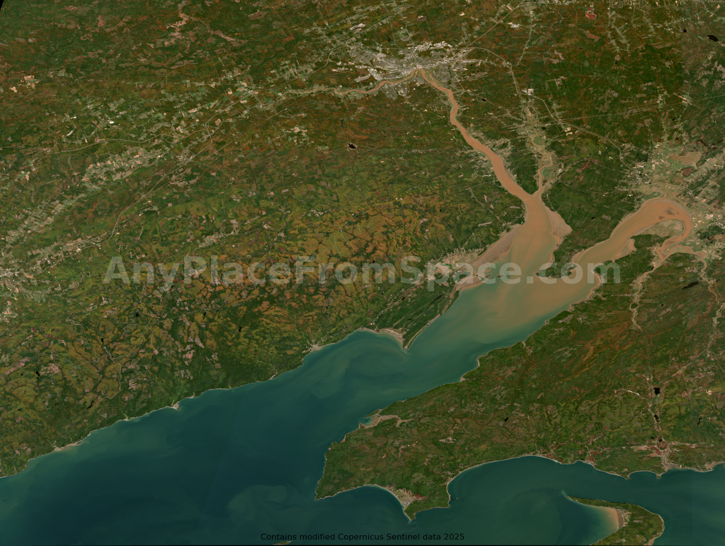
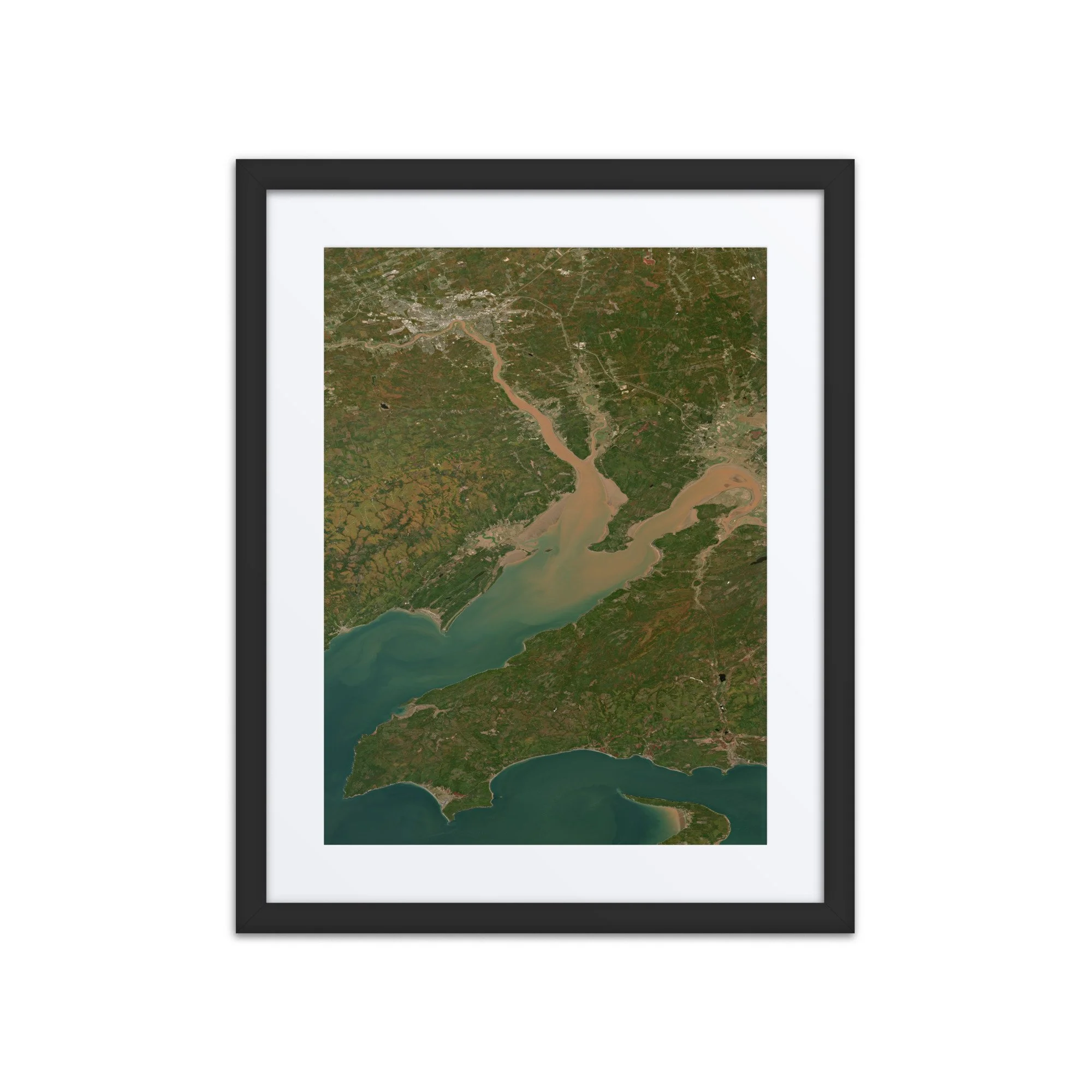
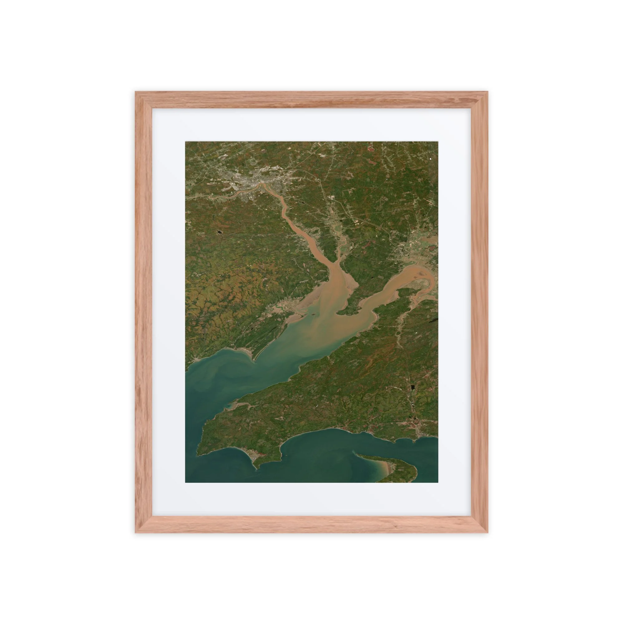
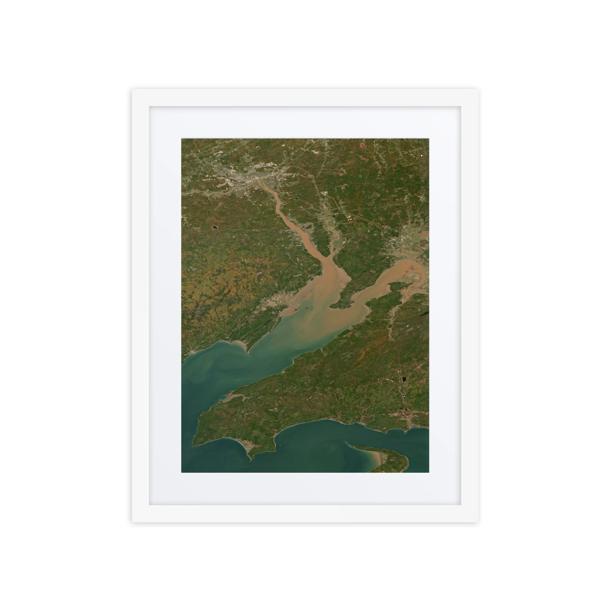
Bay of Fundy Satellite Image Map – September 29, 2025

$4.99

High-resolution satellite image showing the Bay of Fundy, Canada, captured on September 29, 2025.

Bay of Fundy – September 29, 2025

This image showcases the Bay of Fundy on September 2025. Visible features include the branching tidal channels of the Minas Basin, the narrow passage of the Minas Channel, and the intricate estuaries that define one of the most dynamic coastal environments on Earth.

The Bay of Fundy is world-renowned for having the highest tidal range on the planet, with water levels rising and falling by more than 40 feet (12 meters). From space, these extreme tides are clearly visible as swirling sediment plumes and shifting sandbars, particularly within the Minas Basin where powerful currents churn the water into striking shades of turquoise and brown.

Rivers flowing into the bay—including those near Truro and Amherst—carry sediment that becomes suspended in the tidal flows, creating the vivid color contrasts seen throughout the image. Coastal towns such as Parrsboro and Wolfville sit along the edges of this constantly shifting landscape.

Surrounding the waterways, early autumn begins to emerge across the forests of Nova Scotia and New Brunswick, with subtle hints of seasonal color blending into the region’s characteristic green terrain.

Captured from orbit using modified Copernicus Sentinel-2 data 2025, this high-resolution satellite image highlights the immense power of ocean tides and the ever-changing geography of the Bay of Fundy.

File Format:
• High-resolution PNG file

Delivery:
• Instant digital download available after purchase

Uses:
• Digital Wallpaper
• Desktop Background
• Web Content
• Print-ready for posters, postcards, or other memorabilia

Additional Information:
This high-resolution image makes a great wallpaper, desktop background, or a unique visual element for your own web content.

Attribution:
• Contains modified Copernicus data 2025
• Image processed by Any Place From Space
• Attribution for Any Place From Space is not required, but we really appreciate referrals to AnyPlaceFromSpace.com

Looking for an image from a different date, or a different location?
Submit a custom request →